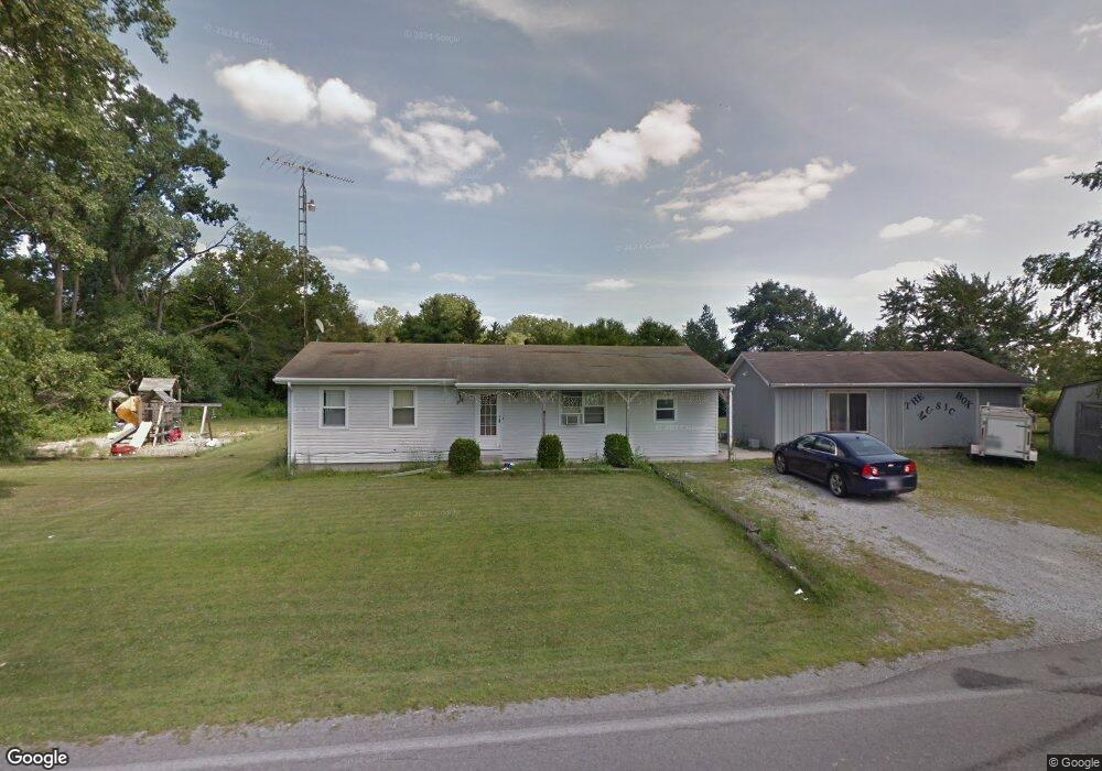
12544 County Road 175 Kenton, OH 43326
Estimated Value: $163,000 - $204,000
3
Beds
1
Bath
1,352
Sq Ft
$135/Sq Ft
Est. Value
About This Home
This home is located at 12544 County Road 175, Kenton, OH 43326 and is currently estimated at $182,965, approximately $135 per square foot. 12544 County Road 175 is a home located in Hardin County with nearby schools including Kenton Elementary School, Kenton Middle School, and Kenton High School.
Ownership History
Date
Name
Owned For
Owner Type
Purchase Details
Closed on
Nov 18, 2025
Sold by
Ledesma Fred R
Bought by
Holland Jeffery and Holland Margaret
Current Estimated Value
Purchase Details
Closed on
Aug 16, 2010
Sold by
Ledesma Julie L and Ledesma Fred R
Bought by
Ledesma Fred R
Purchase Details
Closed on
Apr 27, 2000
Bought by
Ledesma Fred R and Ledesma Juli
Purchase Details
Closed on
May 9, 1991
Purchase Details
Closed on
Apr 14, 1989
Create a Home Valuation Report for This Property
The Home Valuation Report is an in-depth analysis detailing your home's value as well as a comparison with similar homes in the area
Home Values in the Area
Average Home Value in this Area
Purchase History
| Date | Buyer | Sale Price | Title Company |
|---|---|---|---|
| Holland Jeffery | $69,200 | Superior Title | |
| Ledesma Fred R | -- | None Available | |
| Ledesma Fred R | $76,000 | -- | |
| -- | $20,000 | -- | |
| -- | -- | -- |
Source: Public Records
Tax History Compared to Growth
Tax History
| Year | Tax Paid | Tax Assessment Tax Assessment Total Assessment is a certain percentage of the fair market value that is determined by local assessors to be the total taxable value of land and additions on the property. | Land | Improvement |
|---|---|---|---|---|
| 2024 | $1,600 | $37,710 | $5,320 | $32,390 |
| 2023 | $1,600 | $37,710 | $5,320 | $32,390 |
| 2022 | $1,574 | $34,650 | $4,450 | $30,200 |
| 2021 | $1,579 | $34,650 | $4,450 | $30,200 |
| 2020 | $1,366 | $34,650 | $4,450 | $30,200 |
| 2019 | $1,100 | $29,010 | $4,240 | $24,770 |
| 2018 | $1,101 | $29,010 | $4,240 | $24,770 |
| 2017 | $1,084 | $29,010 | $4,240 | $24,770 |
| 2016 | $979 | $27,530 | $3,720 | $23,810 |
| 2015 | $956 | $27,530 | $3,720 | $23,810 |
| 2014 | $976 | $27,530 | $3,720 | $23,810 |
| 2013 | $966 | $25,980 | $3,720 | $22,260 |
Source: Public Records
Map
Nearby Homes
- 11896 Parklane Dr
- 920 Cooper St
- 13450 State Route 292
- 115 Scioto St
- 79 Broadway St
- 1 C Ct
- 510 Decatur St
- 508 Decatur St
- 39 Grape St
- 530 E Franklin St
- 513 E Franklin St
- 639 S Main St
- 320 Letson Ave
- 509 E Carrol St
- 727 S Detroit St
- 121 S High St
- 324 Stone Hedge Ln Unit 324
- 0 N Barron St
- 104 Oak Ln Unit 15
- 503 Jennings St
- 12580 County Rd
- 12580 County Road 175
- 15993 County Road 140
- 16035 County Road 140
- 16284 Maureen Dr
- 16388 Lindsey Dr
- 16296 Maureen Dr
- 16268 Maureen Dr
- 16414 Lindsey Dr
- 16391 Lindsey Dr
- 16283 Maureen Dr
- 12848 County Road 175
- 0 County Road 175
- 16295 Maureen Dr
- 16450 Lindsey Dr
- 16427 Lindsey Dr
- 16350 Maureen Dr
- 16315 Maureen Dr