1255 Apex Rd Franktown, CO 80116
Estimated Value: $1,236,000 - $1,457,000
4
Beds
3
Baths
4,161
Sq Ft
$318/Sq Ft
Est. Value
About This Home
This home is located at 1255 Apex Rd, Franktown, CO 80116 and is currently estimated at $1,323,732, approximately $318 per square foot. 1255 Apex Rd is a home located in Douglas County with nearby schools including Franktown Elementary School, Sagewood Middle School, and Ponderosa High School.
Ownership History
Date
Name
Owned For
Owner Type
Purchase Details
Closed on
Mar 30, 2018
Sold by
Jorgenson David L and Jorgenson Sharon L
Bought by
Debra A Laughlin Declaration Of Trust
Current Estimated Value
Purchase Details
Closed on
Jul 18, 2008
Sold by
Conger David T
Bought by
Jorgenson David L and Jorgenson Sharon L
Purchase Details
Closed on
Dec 3, 1993
Sold by
Conger John J and Conger Trista K
Bought by
Conger Trista K
Create a Home Valuation Report for This Property
The Home Valuation Report is an in-depth analysis detailing your home's value as well as a comparison with similar homes in the area
Home Values in the Area
Average Home Value in this Area
Purchase History
| Date | Buyer | Sale Price | Title Company |
|---|---|---|---|
| Debra A Laughlin Declaration Of Trust | -- | Land Title Guarantee Co | |
| Debra A Laughlin Declaration Of Trust | $805,000 | Land Title Guarantee Company | |
| Jorgenson David L | $260,000 | None Available | |
| Conger Trista K | -- | -- |
Source: Public Records
Tax History Compared to Growth
Tax History
| Year | Tax Paid | Tax Assessment Tax Assessment Total Assessment is a certain percentage of the fair market value that is determined by local assessors to be the total taxable value of land and additions on the property. | Land | Improvement |
|---|---|---|---|---|
| 2024 | $6,568 | $79,890 | $28,810 | $51,080 |
| 2023 | $6,641 | $79,890 | $28,810 | $51,080 |
| 2022 | $5,043 | $60,240 | $18,340 | $41,900 |
| 2021 | $5,227 | $60,240 | $18,340 | $41,900 |
| 2020 | $4,841 | $57,090 | $16,470 | $40,620 |
| 2019 | $4,864 | $57,090 | $16,470 | $40,620 |
| 2018 | $4,912 | $56,640 | $12,780 | $43,860 |
| 2017 | $4,573 | $56,640 | $12,780 | $43,860 |
| 2016 | $4,306 | $52,290 | $9,430 | $42,860 |
| 2015 | $2,202 | $52,290 | $9,430 | $42,860 |
| 2014 | $4,617 | $33,350 | $33,350 | $0 |
Source: Public Records
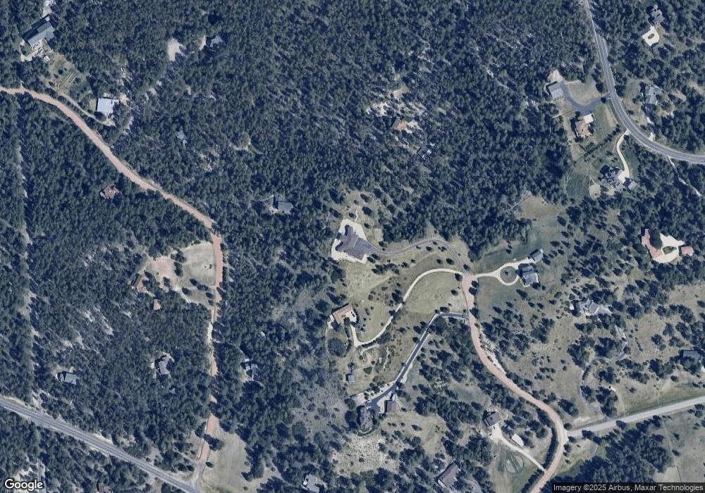
Map
Nearby Homes
- 10691 Tomichi Dr
- 1559 Apex Rd
- 10400 Pine Valley Dr
- 11044 Conestoga Place
- 1571 Arrowpoint Ct
- 1561 Arrowpoint Ct
- 1555 Arrowpoint Ct
- 1972 Gold Camp Way
- 856 Woodridge Rd
- 230 S Big Meadow Trail
- 1721 Arrowpoint Ct
- 1724 Arrowpoint Ct
- 1341 Tomichi Dr
- 1133 Tomichi Dr
- 10525 Wild Fox Place
- 11274 E Manitou Rd
- 104 Bill Davis Rd
- 2072 Summit St
- 11584 E State Highway 86
- 210 High Meadows Loop
- 1305 Apex Rd
- 10695 Empire Dr
- 10924 Pine Valley Dr
- 10755 Empire Dr
- 1310 Apex Rd
- 1353 Apex Rd
- 1146 Tincup Way
- 10710 Empire Dr Unit 1
- 1096 Tincup Way
- 10804 Empire Dr
- 11039 Pinevale Ln
- 11074 Pine Valley Dr
- 10630 Empire Dr
- 11094 Pine Valley Dr
- 10904 Pine Valley Dr
- 1465 Apex Rd
- 10954 Pine Valley Dr
- 10595 Empire Dr
- 11154 Pine Valley Dr
- 11154 Pinevalley Dr