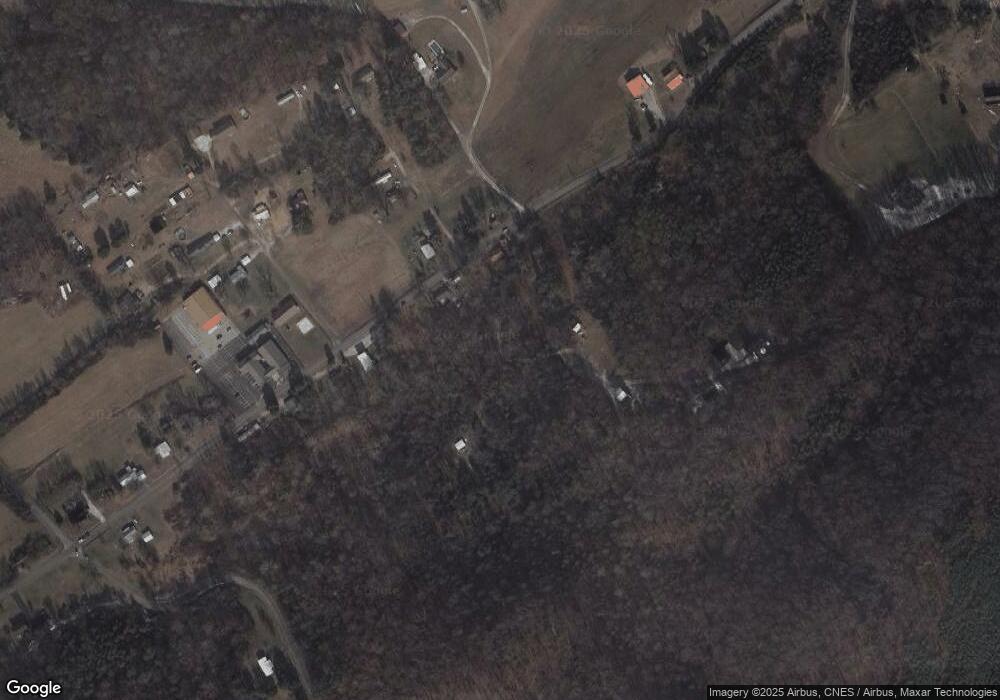
1255 Franks Rd Unit CORA Jefferson City, TN 37760
Estimated Value: $236,000 - $474,000
--
Bed
2
Baths
1,431
Sq Ft
$287/Sq Ft
Est. Value
About This Home
This home is located at 1255 Franks Rd Unit CORA, Jefferson City, TN 37760 and is currently estimated at $410,682, approximately $286 per square foot. 1255 Franks Rd Unit CORA is a home located in Jefferson County.
Ownership History
Date
Name
Owned For
Owner Type
Purchase Details
Closed on
Sep 24, 2014
Sold by
Muellemann Timothy J
Bought by
Greene Rufus L And Greene Pa and And Patricia A Rufus L
Current Estimated Value
Purchase Details
Closed on
Dec 12, 2012
Sold by
Phalin Denise Winston
Bought by
Muellemann Timothy J and Muellemann Tracy L
Home Financials for this Owner
Home Financials are based on the most recent Mortgage that was taken out on this home.
Original Mortgage
$73,316
Interest Rate
3.43%
Mortgage Type
Commercial
Purchase Details
Closed on
Nov 15, 2001
Sold by
Lance Hammer
Bought by
Denise Winston
Purchase Details
Closed on
Apr 21, 1994
Bought by
Hammer Lance and Hammer Denise C
Create a Home Valuation Report for This Property
The Home Valuation Report is an in-depth analysis detailing your home's value as well as a comparison with similar homes in the area
Home Values in the Area
Average Home Value in this Area
Purchase History
| Date | Buyer | Sale Price | Title Company |
|---|---|---|---|
| Greene Rufus L And Greene Pa | $185,000 | -- | |
| Muellemann Timothy J | $70,000 | -- | |
| Denise Winston | $150,500 | -- | |
| Hammer Lance | $34,500 | -- |
Source: Public Records
Mortgage History
| Date | Status | Borrower | Loan Amount |
|---|---|---|---|
| Previous Owner | Muellemann Timothy J | $73,316 |
Source: Public Records
Tax History Compared to Growth
Tax History
| Year | Tax Paid | Tax Assessment Tax Assessment Total Assessment is a certain percentage of the fair market value that is determined by local assessors to be the total taxable value of land and additions on the property. | Land | Improvement |
|---|---|---|---|---|
| 2025 | $1,803 | $80,175 | $40,775 | $39,400 |
| 2023 | $1,803 | $51,500 | $0 | $0 |
| 2022 | $1,746 | $51,500 | $35,900 | $15,600 |
| 2021 | $1,746 | $51,500 | $35,900 | $15,600 |
| 2020 | $1,746 | $51,500 | $35,900 | $15,600 |
| 2019 | $1,746 | $51,500 | $35,900 | $15,600 |
| 2018 | $1,662 | $46,825 | $29,600 | $17,225 |
| 2017 | $1,662 | $46,825 | $29,600 | $17,225 |
| 2016 | $1,662 | $46,825 | $29,600 | $17,225 |
| 2015 | $1,639 | $46,825 | $29,600 | $17,225 |
| 2014 | $1,615 | $46,825 | $29,600 | $17,225 |
Source: Public Records
Map
Nearby Homes
- 183 S Chucky Pike
- 2013 Phagan Rd
- 1961 Kaylee Dr
- 1946 Kaylee Dr
- 1756 Mansfield Gap Rd
- 1991 Kaylee Dr
- Lot 18 Kaylee Dr
- 1001 Dumplin Valley Rd E
- 000 Tilley Rd
- 144 Snowbird Ln Unit 13
- 144 Snowbird Ln
- 672 S Chucky Pike
- 1336 Tom Breeden Rd
- 0 Lot 24 Summerset Dr
- 11 Summerset Dr
- 24 Summerset Dr
- Lot 24-A Summerset Dr
- 0 Lot 18 Summerset Farms Dr Unit 1307870
- 0 Lot 16 Summerset Dr Unit 1307846
- 0 Lot 10 Summerset Dr Unit RTC2936537
- 1353 Dumplin Valley Rd E
- 1361 Dumplin Valley Rd E
- 1354 Dumplin Valley Rd E
- 1343 Dumplin Valley Rd E
- 1315 Pear Way
- 1368 Dumplin Valley Rd E
- 1335 Dumplin Valley Rd E
- 1330 Dumplin Valley Rd E
- 1318 Proffitts Rd
- 1317 Proffitts Rd
- 1320 Proffitts Rd
- 1364 Dumplin Valley Rd E
- 1323 Proffitts Rd
- 1330 Pear Way
- 1388 Dumplin Valley Rd E
- 1316 Dumplin Valley Rd E
- 1362 Proffitts Rd
- 1366 Dumplin Valley Rd E
- 1321 Proffitts Rd
- 1394 Dumplin Valley Rd E
