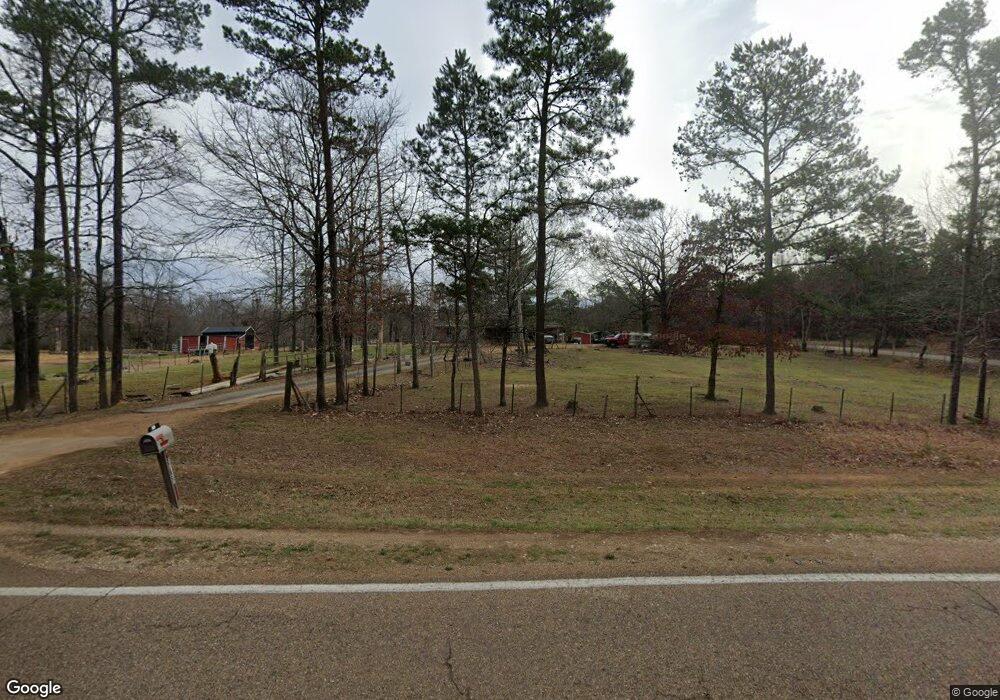
1255 Highway 142 Shiloh, TN 38376
Estimated Value: $180,000 - $215,000
--
Bed
2
Baths
1,692
Sq Ft
$114/Sq Ft
Est. Value
About This Home
This home is located at 1255 Highway 142, Shiloh, TN 38376 and is currently estimated at $193,225, approximately $114 per square foot. 1255 Highway 142 is a home located in Hardin County with nearby schools including Hardin County High School.
Ownership History
Date
Name
Owned For
Owner Type
Purchase Details
Closed on
Jul 14, 1997
Sold by
Sue Wilson Kimberly
Bought by
Donald Hall
Current Estimated Value
Home Financials for this Owner
Home Financials are based on the most recent Mortgage that was taken out on this home.
Original Mortgage
$54,400
Outstanding Balance
$8,087
Interest Rate
7.92%
Estimated Equity
$185,138
Purchase Details
Closed on
Jun 23, 1997
Bought by
Hall Donald and Hall Michelle
Home Financials for this Owner
Home Financials are based on the most recent Mortgage that was taken out on this home.
Original Mortgage
$54,400
Outstanding Balance
$8,087
Interest Rate
7.92%
Estimated Equity
$185,138
Purchase Details
Closed on
Nov 24, 1992
Bought by
Cromwell Sarah Jo
Purchase Details
Closed on
Dec 9, 1986
Bought by
Cromwell Bobbie Joyce
Purchase Details
Closed on
Apr 15, 1974
Purchase Details
Closed on
Aug 17, 1972
Create a Home Valuation Report for This Property
The Home Valuation Report is an in-depth analysis detailing your home's value as well as a comparison with similar homes in the area
Home Values in the Area
Average Home Value in this Area
Purchase History
| Date | Buyer | Sale Price | Title Company |
|---|---|---|---|
| Donald Hall | $47,650 | -- | |
| Hall Donald | $47,700 | -- | |
| Cromwell Sarah Jo | $15,000 | -- | |
| Cromwell Bobbie Joyce | -- | -- | |
| -- | -- | -- | |
| -- | -- | -- |
Source: Public Records
Mortgage History
| Date | Status | Borrower | Loan Amount |
|---|---|---|---|
| Open | Not Available | $54,400 |
Source: Public Records
Tax History Compared to Growth
Tax History
| Year | Tax Paid | Tax Assessment Tax Assessment Total Assessment is a certain percentage of the fair market value that is determined by local assessors to be the total taxable value of land and additions on the property. | Land | Improvement |
|---|---|---|---|---|
| 2024 | $765 | $43,725 | $10,700 | $33,025 |
| 2023 | $765 | $43,725 | $10,700 | $33,025 |
| 2022 | $651 | $31,600 | $6,225 | $25,375 |
| 2021 | $543 | $31,600 | $6,225 | $25,375 |
| 2020 | $543 | $26,350 | $6,225 | $20,125 |
| 2019 | $543 | $26,350 | $6,225 | $20,125 |
| 2018 | $525 | $26,350 | $6,225 | $20,125 |
| 2017 | $525 | $25,250 | $6,225 | $19,025 |
| 2016 | $525 | $25,250 | $6,225 | $19,025 |
| 2015 | $460 | $25,250 | $6,225 | $19,025 |
| 2014 | $460 | $25,250 | $6,225 | $19,025 |
Source: Public Records
Map
Nearby Homes
- 0 Tennessee 142
- 00 Tennessee 142
- 0 Fisher Ln
- 00 Fisher Ln
- 185 Baxter Rd
- 0 Baxter Rd
- 1293 Tennessee 22
- 11200 Highway 142
- 410 Gladden Rd
- 30 Federal Rd
- 230 Silver Water Ln
- 255 Rock Pile Ln
- 11200 Highway 142
- 10135 142 Hwy
- 455 Bark Dr
- 1035 Hill Dr
- LT 138 Bandit Way
- 330 Lick Creek Rd
- 359 Cemetery Rd
- 470 Bandit Way
- 0 Bark Rd Unit 10013395
- 0 Bark Rd
- 1185 Highway 142
- 1210 Highway 142
- 1190 Highway 142
- 1165 Highway 142
- 1160 Highway 142
- 1125 Highway 142
- 0 142 Hwy Unit 3143464
- 0 142 Hwy Unit 3152884
- 0 142 Hwy Unit 3200280
- 0 142 Hwy Unit 10174999
- 765 Bark Dr
- 2 Bark Rd
- 1035 Highway 142
- 1005 Highway 142
- 1000 Highway 142
- 320 Bark Dr
- 975 Highway 142
- 1050 Highway 22