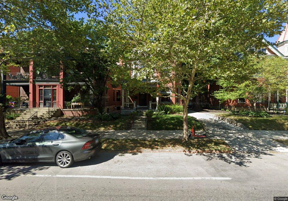
1255 Neil Ave Columbus, OH 43201
Victorian Village NeighborhoodEstimated Value: $612,000 - $789,000
4
Beds
3
Baths
2,090
Sq Ft
$327/Sq Ft
Est. Value
About This Home
This home is located at 1255 Neil Ave, Columbus, OH 43201 and is currently estimated at $683,856, approximately $327 per square foot. 1255 Neil Ave is a home located in Franklin County with nearby schools including Hubbard Elementary School, Dominion Middle School, and Whetstone High School.
Ownership History
Date
Name
Owned For
Owner Type
Purchase Details
Closed on
Mar 30, 2016
Sold by
Scherer Susan and Susan Scherer Trust
Bought by
Weed Stephen T and Riedel James A
Current Estimated Value
Home Financials for this Owner
Home Financials are based on the most recent Mortgage that was taken out on this home.
Original Mortgage
$230,000
Outstanding Balance
$182,541
Interest Rate
3.65%
Mortgage Type
Seller Take Back
Estimated Equity
$501,315
Purchase Details
Closed on
Dec 24, 1998
Sold by
Scherer Susan R
Bought by
Scherer Susan
Purchase Details
Closed on
Feb 24, 1998
Sold by
Brownstein David J and Wickliff Erica M
Bought by
Brownstein Erica and Revocable Trust Of Erica M Bro
Purchase Details
Closed on
Mar 8, 1988
Create a Home Valuation Report for This Property
The Home Valuation Report is an in-depth analysis detailing your home's value as well as a comparison with similar homes in the area
Home Values in the Area
Average Home Value in this Area
Purchase History
| Date | Buyer | Sale Price | Title Company |
|---|---|---|---|
| Weed Stephen T | $270,000 | Amerititle Downtown | |
| Scherer Susan | -- | -- | |
| Brownstein Erica | -- | -- | |
| -- | $90,500 | -- |
Source: Public Records
Mortgage History
| Date | Status | Borrower | Loan Amount |
|---|---|---|---|
| Open | Weed Stephen T | $230,000 |
Source: Public Records
Tax History Compared to Growth
Tax History
| Year | Tax Paid | Tax Assessment Tax Assessment Total Assessment is a certain percentage of the fair market value that is determined by local assessors to be the total taxable value of land and additions on the property. | Land | Improvement |
|---|---|---|---|---|
| 2024 | $10,121 | $225,510 | $69,300 | $156,210 |
| 2023 | $9,991 | $225,505 | $69,300 | $156,205 |
| 2022 | $8,668 | $167,130 | $30,870 | $136,260 |
| 2021 | $8,684 | $167,130 | $30,870 | $136,260 |
| 2020 | $8,695 | $167,130 | $30,870 | $136,260 |
| 2019 | $8,417 | $138,750 | $25,730 | $113,020 |
| 2018 | $9,225 | $138,750 | $25,730 | $113,020 |
| 2017 | $8,412 | $138,750 | $25,730 | $113,020 |
| 2016 | $11,039 | $162,480 | $28,250 | $134,230 |
| 2015 | $10,050 | $162,480 | $28,250 | $134,230 |
| 2014 | $10,074 | $162,480 | $28,250 | $134,230 |
| 2013 | $4,517 | $147,700 | $25,690 | $122,010 |
Source: Public Records
Map
Nearby Homes
- 1245 Pennsylvania Ave
- 154-156 W 6th Ave
- 398 W 5th Ave
- 1298 Hunter Ave
- 343 King Ave Unit 345
- 63 Smith Place
- 396 W 7th Ave
- 93 King Ave Unit 95
- 1042 Neil Ave
- 337 Tappan St
- 477 W 4th Ave
- 1438-1440 Hunter Ave
- 1018 Neil Ave
- 1016 Neil Ave
- 1025 Hunter Ave
- 506 Riverfront Ln
- 319 W 2nd Ave Unit 319
- 512 Riverfront Ln
- 502 Riverfront Ln
- 42 King Ave
- 1243 Neil Ave
- 299 W 5th Ave Unit 301
- 301 W 5th Ave
- 1240 Harrison Ave
- 1237 Neil Ave
- 1236 Harrison Ave Unit 238
- 1256 1256 1 2 Neil Ave
- 1256 Neil Ave Unit 256
- 1260 Neil Ave
- 1227 Neil Ave
- 1281 Neil Ave
- 297 W 5th Ave
- 1265 Harrison Ave Unit 265
- 1265 Harrison Ave
- 1228-1232 Harrison Ave
- 1228 Harrison Ave Unit 232
- 313 W 5th Ave
- 1289 Neil Ave
- 1289 Neil Ave Unit B
- 1289 Neil Ave Unit A & B