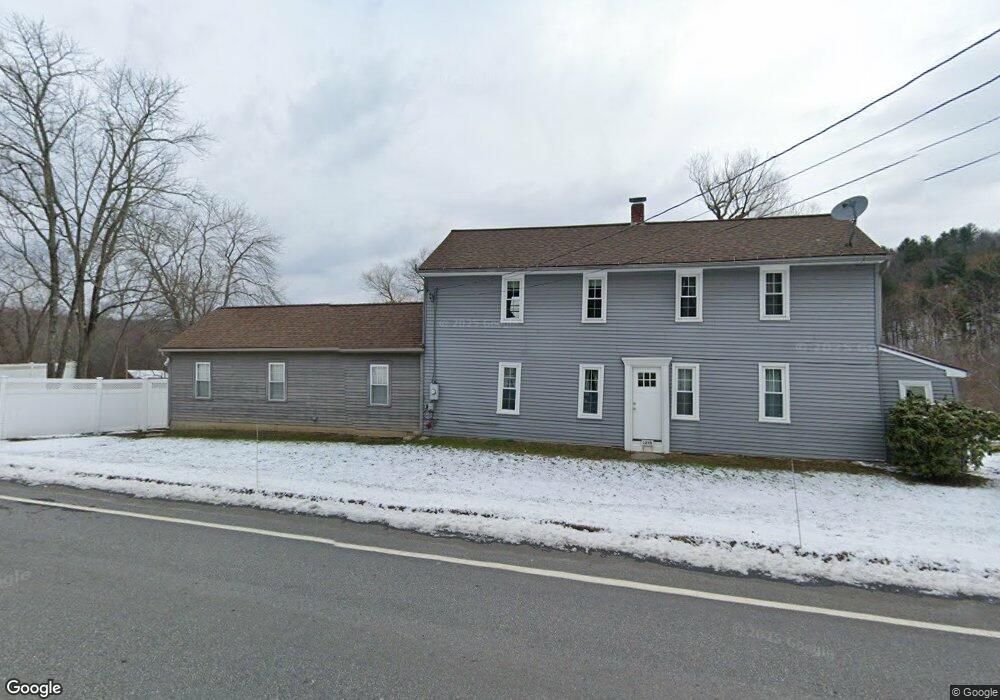
1255 Route 171 Woodstock, CT 06281
Estimated Value: $194,000 - $580,000
--
Bed
--
Bath
--
Sq Ft
10.1
Acres
About This Home
This home is located at 1255 Route 171, Woodstock, CT 06281 and is currently estimated at $422,615. 1255 Route 171 is a home located in Windham County with nearby schools including Woodstock Elementary School and Woodstock Middle School.
Ownership History
Date
Name
Owned For
Owner Type
Purchase Details
Closed on
May 13, 2019
Sold by
Palacios Kathleen P
Bought by
Palacios Frank X and Palacios Kathleen P
Current Estimated Value
Home Financials for this Owner
Home Financials are based on the most recent Mortgage that was taken out on this home.
Original Mortgage
$150,000
Outstanding Balance
$131,061
Interest Rate
4.1%
Mortgage Type
New Conventional
Estimated Equity
$291,554
Purchase Details
Closed on
Oct 1, 1999
Sold by
Mathorne Elizabeth and Bates Gerald F
Bought by
Palacios Kathleen P
Home Financials for this Owner
Home Financials are based on the most recent Mortgage that was taken out on this home.
Original Mortgage
$53,250
Interest Rate
7.85%
Mortgage Type
Purchase Money Mortgage
Create a Home Valuation Report for This Property
The Home Valuation Report is an in-depth analysis detailing your home's value as well as a comparison with similar homes in the area
Home Values in the Area
Average Home Value in this Area
Purchase History
| Date | Buyer | Sale Price | Title Company |
|---|---|---|---|
| Palacios Frank X | -- | -- | |
| Palacios Kathleen P | $71,000 | -- |
Source: Public Records
Mortgage History
| Date | Status | Borrower | Loan Amount |
|---|---|---|---|
| Open | Palacios Frank X | $150,000 | |
| Previous Owner | Palacios Kathleen P | $123,000 | |
| Previous Owner | Palacios Kathleen P | $100,000 | |
| Previous Owner | Palacios Kathleen P | $89,600 | |
| Previous Owner | Palacios Kathleen P | $53,250 |
Source: Public Records
Tax History Compared to Growth
Tax History
| Year | Tax Paid | Tax Assessment Tax Assessment Total Assessment is a certain percentage of the fair market value that is determined by local assessors to be the total taxable value of land and additions on the property. | Land | Improvement |
|---|---|---|---|---|
| 2025 | $5,976 | $244,820 | $38,120 | $206,700 |
| 2024 | $5,641 | $244,820 | $38,120 | $206,700 |
| 2023 | $5,486 | $244,820 | $38,120 | $206,700 |
| 2022 | $5,104 | $244,820 | $38,120 | $206,700 |
| 2021 | $5,071 | $198,880 | $34,880 | $164,000 |
| 2020 | $4,380 | $178,780 | $34,880 | $143,900 |
| 2019 | $4,380 | $178,780 | $34,880 | $143,900 |
| 2018 | $4,380 | $178,780 | $34,880 | $143,900 |
| 2017 | $4,344 | $178,780 | $34,880 | $143,900 |
| 2016 | $3,969 | $165,090 | $44,790 | $120,300 |
| 2015 | $3,857 | $165,090 | $44,790 | $120,300 |
| 2014 | $3,814 | $165,090 | $44,790 | $120,300 |
Source: Public Records
Map
Nearby Homes
- 00 Route 171 Unit Lot 1
- 145 Perrin Rd
- 0 Aplin Hill Ln
- 80 Bungay Hill Rd
- 70 Laurel Hill Dr
- 56 Laurel Hill Dr
- 10 Laurel Hill Dr
- 30 Lyon Rd
- 0 Hemlock Dr
- 23 Little Bungee Hill Rd
- 60 Indian Spring Rd
- 189 Center Rd
- 29 Crooked Trail Extension
- 402 Perrin Rd
- 381 Bungay Hill Rd
- 101 Center Rd
- 175 Pulpit Rock Rd
- 26 Center Rd
- 278 Child Rd
- 0 Center Rd
- 1250 Route 171
- 1242 Route 171
- 1271 Route 171
- 1289 Route 171
- 1220 Route 171
- 1211 Route 171
- 32 Perrin Rd
- 1207 Route 171
- 4 Perrin Rd
- 14 Perrin Rd
- OX Connecticut 171
- XO Connecticut 171
- 1219 Route 171
- 1194 Route 171
- 29 Bradford Corner Rd
- 1195 Route 171
- 9 Bradford Corner Rd
- 1312 Route 171
- 00 Bungay Hill Rd
- 33 Perrin Rd