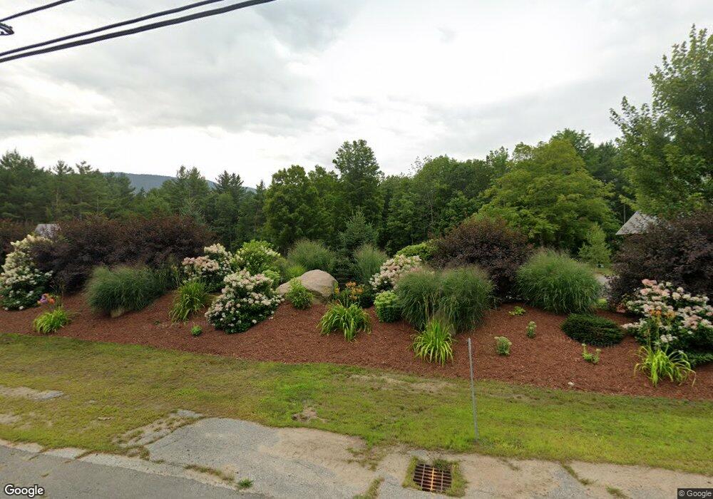
1255 Us Route 302 Harts Location, NH 03812
Estimated Value: $384,000 - $2,586,555
1
Bed
2
Baths
400
Sq Ft
$3,713/Sq Ft
Est. Value
About This Home
This home is located at 1255 Us Route 302, Harts Location, NH 03812 and is currently estimated at $1,485,278, approximately $3,713 per square foot. 1255 Us Route 302 is a home located in Carroll County with nearby schools including Josiah Bartlett Elementary School.
Ownership History
Date
Name
Owned For
Owner Type
Purchase Details
Closed on
Jul 20, 2023
Sold by
Sandra J Mead Ret and Mead
Bought by
Alpine Gdn Camping Vlg Ll
Current Estimated Value
Purchase Details
Closed on
Dec 29, 2000
Sold by
Patch David L
Bought by
Wilczek Richard H and Wilczek Lynn A
Home Financials for this Owner
Home Financials are based on the most recent Mortgage that was taken out on this home.
Original Mortgage
$153,750
Interest Rate
7.7%
Mortgage Type
Purchase Money Mortgage
Create a Home Valuation Report for This Property
The Home Valuation Report is an in-depth analysis detailing your home's value as well as a comparison with similar homes in the area
Home Values in the Area
Average Home Value in this Area
Purchase History
| Date | Buyer | Sale Price | Title Company |
|---|---|---|---|
| Alpine Gdn Camping Vlg Ll | $380,000 | None Available | |
| Alpine Gdn Camping Vlg Ll | $380,000 | None Available | |
| Wilczek Richard H | $205,200 | -- | |
| Wilczek Richard H | $205,200 | -- |
Source: Public Records
Mortgage History
| Date | Status | Borrower | Loan Amount |
|---|---|---|---|
| Previous Owner | Wilczek Richard H | $147,000 | |
| Previous Owner | Wilczek Richard H | $85,000 | |
| Previous Owner | Wilczek Richard H | $153,750 |
Source: Public Records
Tax History Compared to Growth
Tax History
| Year | Tax Paid | Tax Assessment Tax Assessment Total Assessment is a certain percentage of the fair market value that is determined by local assessors to be the total taxable value of land and additions on the property. | Land | Improvement |
|---|---|---|---|---|
| 2024 | $18,211 | $3,263,600 | $520,900 | $2,742,700 |
| 2023 | $16,840 | $3,263,600 | $520,900 | $2,742,700 |
| 2022 | $15,307 | $3,079,900 | $520,900 | $2,559,000 |
| 2021 | $11,182 | $1,173,300 | $361,800 | $811,500 |
| 2020 | $3,651 | $377,900 | $180,900 | $197,000 |
| 2019 | $3,391 | $363,100 | $237,900 | $125,200 |
| 2018 | $3,315 | $363,100 | $237,900 | $125,200 |
| 2016 | $2,386 | $251,200 | $107,600 | $143,600 |
| 2015 | $2,396 | $251,200 | $107,600 | $143,600 |
| 2014 | $2,459 | $251,200 | $107,600 | $143,600 |
| 2010 | $3,349 | $366,000 | $147,400 | $218,600 |
Source: Public Records
Map
Nearby Homes
- 1331 Us Rte 302
- 70 River St
- 12 Forest Ave
- 00 US Route 302 Unit L00
- 0 U S 302 Unit 1 and 2 5003976
- 114 Cobb Farm Rd
- 00 Tall Woods Loop Unit 9
- 83 Parker Ridge Rd
- 30 Parker Ridge Rd
- 0 Parker Ridge Rd Unit 47 5058947
- 4 Mountainside at Attitash Rd
- F4 Cave Mountain Rd
- 8 River Run Dr Unit G
- 6S River Run Dr
- 2E/F River Run Dr Unit E/F
- 46 Ammonoosuc Dr
- 53 Ammonoosuc Dr
- 30 Top Notch Rd Unit 30
- 461 Jericho Rd
- 31 Cave Mountain Rd
- 1255 Us Route 302
- 1254 Us Route 302
- 1254 Main Street - Route 302
- 1262 U S 302
- 1232 Us Route 302
- 1262 Us Route 302
- 1262 Main St
- 11-1 Bunker Ln Unit 1
- 11-1 Bunker Ln
- 1268 Us Route 302
- 1269 Us Route 302
- 1226 Us Route 302
- 1226 Us Route 302
- 1275 Us Route 302
- 1275 Us Rt 302
- 1279 U S 302
- 1283 Us Route 302
- 1283 Us 302 Route
- 1215 Us Route 302
- 1231 Us Route 302
