12550 115th Ave Davenport, IA 52804
Outer Davenport/Bettendorf NeighborhoodEstimated Value: $395,000 - $563,000
3
Beds
3
Baths
1,404
Sq Ft
$344/Sq Ft
Est. Value
About This Home
This home is located at 12550 115th Ave, Davenport, IA 52804 and is currently estimated at $483,598, approximately $344 per square foot. 12550 115th Ave is a home located in Scott County with nearby schools including Liberty Elementary School, Buffalo Elementary School, and Walcott Intermediate School.
Ownership History
Date
Name
Owned For
Owner Type
Purchase Details
Closed on
Apr 18, 2013
Sold by
West Robert Eugene and West Robert E
Bought by
Linwood Mining And Minerals Corp
Current Estimated Value
Purchase Details
Closed on
Sep 28, 2006
Sold by
West Robert Eugene and West Barbara Sue
Bought by
West Robert Eugene and West Barbara Sue
Create a Home Valuation Report for This Property
The Home Valuation Report is an in-depth analysis detailing your home's value as well as a comparison with similar homes in the area
Home Values in the Area
Average Home Value in this Area
Purchase History
| Date | Buyer | Sale Price | Title Company |
|---|---|---|---|
| Linwood Mining And Minerals Corp | $365,000 | None Available | |
| West Robert Eugene | -- | None Available |
Source: Public Records
Tax History Compared to Growth
Tax History
| Year | Tax Paid | Tax Assessment Tax Assessment Total Assessment is a certain percentage of the fair market value that is determined by local assessors to be the total taxable value of land and additions on the property. | Land | Improvement |
|---|---|---|---|---|
| 2025 | $4,862 | $439,600 | $204,600 | $235,000 |
| 2024 | $4,742 | $424,700 | $204,600 | $220,100 |
| 2023 | $4,774 | $424,700 | $204,600 | $220,100 |
| 2022 | $4,850 | $343,240 | $146,150 | $197,090 |
| 2021 | $4,850 | $343,240 | $146,150 | $197,090 |
| 2020 | $4,802 | $335,990 | $146,150 | $189,840 |
| 2019 | $2,840 | $193,870 | $14,590 | $179,280 |
| 2018 | $2,778 | $193,870 | $14,590 | $179,280 |
| 2017 | $2,784 | $193,870 | $14,590 | $179,280 |
| 2016 | $2,666 | $188,530 | $0 | $0 |
| 2015 | $2,666 | $177,000 | $0 | $0 |
| 2014 | $2,560 | $177,000 | $0 | $0 |
| 2013 | $2,522 | $0 | $0 | $0 |
| 2012 | -- | $175,210 | $7,790 | $167,420 |
Source: Public Records
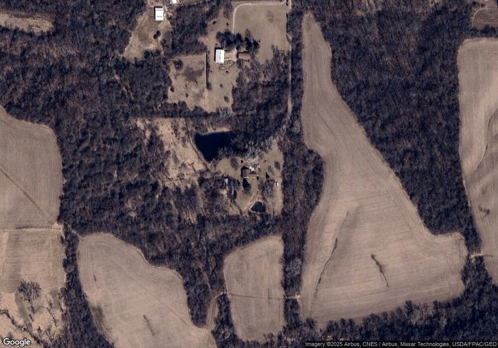
Map
Nearby Homes
- Lot 1-4 Baltic 118th Ave
- Lot 4 Baltic 118th Ave
- Lot 2 Baltic 118th Ave
- Lot 1 Baltic 118th Ave
- Lot 3 Baltic 118th Ave
- 11261 140th St
- S Utah Ave
- 0 S Utah Ave
- 5418 Chapel Hill Rd
- 9933 123rd St
- 12080 100th Ave
- 4616 S Concord St
- 2620-2626 Rockingham Rd
- Lot 01 95th Ave
- Lot 02 95th Ave
- 4519 S Concord St
- 11501 Devils Creek Rd
- 4523 S Concord St
- 9520 115th St
- 3 Chestnut Dr