12553 Highway 51 Tahlequah, OK 74464
Estimated Value: $72,000 - $311,000
3
Beds
2
Baths
2,341
Sq Ft
$91/Sq Ft
Est. Value
About This Home
This home is located at 12553 Highway 51, Tahlequah, OK 74464 and is currently estimated at $212,667, approximately $90 per square foot. 12553 Highway 51 is a home located in Cherokee County with nearby schools including Hulbert Elementary School, Hulbert Jr./Sr. High School, and Hulbert Senior High School.
Ownership History
Date
Name
Owned For
Owner Type
Purchase Details
Closed on
Mar 16, 1999
Sold by
Crittenden Donald R
Bought by
Crittenden Donald R and Crittenden Ma
Current Estimated Value
Create a Home Valuation Report for This Property
The Home Valuation Report is an in-depth analysis detailing your home's value as well as a comparison with similar homes in the area
Home Values in the Area
Average Home Value in this Area
Purchase History
| Date | Buyer | Sale Price | Title Company |
|---|---|---|---|
| Crittenden Donald R | -- | -- |
Source: Public Records
Tax History Compared to Growth
Tax History
| Year | Tax Paid | Tax Assessment Tax Assessment Total Assessment is a certain percentage of the fair market value that is determined by local assessors to be the total taxable value of land and additions on the property. | Land | Improvement |
|---|---|---|---|---|
| 2025 | $352 | $4,565 | $4,565 | $0 |
| 2024 | $352 | $4,565 | $4,565 | $0 |
| 2023 | $352 | $2,057 | $1,370 | $687 |
| 2022 | $716 | $9,183 | $571 | $8,612 |
| 2021 | $688 | $8,746 | $544 | $8,202 |
| 2020 | $659 | $8,330 | $518 | $7,812 |
| 2019 | $637 | $7,933 | $493 | $7,440 |
| 2018 | $614 | $7,556 | $469 | $7,087 |
| 2017 | $589 | $7,195 | $741 | $6,454 |
| 2016 | $567 | $6,854 | $706 | $6,148 |
| 2015 | $448 | $6,637 | $40 | $6,597 |
| 2014 | $448 | $6,443 | $39 | $6,404 |
Source: Public Records
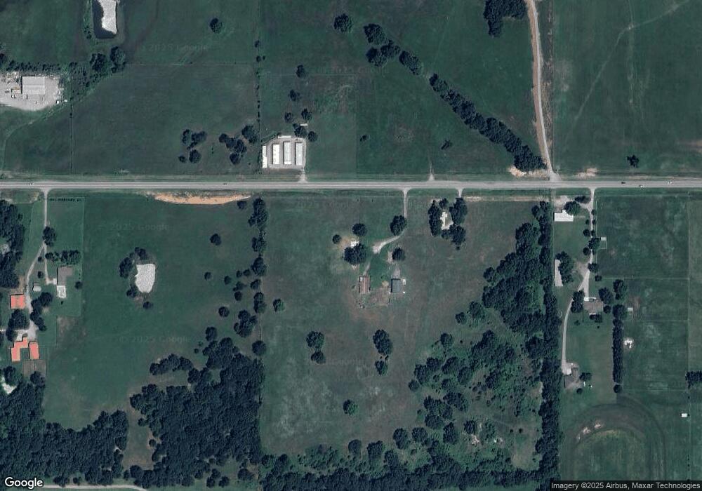
Map
Nearby Homes
- 11261 Highway 51
- 17488 N Vaughn Rd
- 10611 Oklahoma 51
- 520 E 5th St
- 518 E 5th St
- 516 E 5th St
- 17283 N Bryant Rd
- 517 S Birch St
- 216 E 4th St
- 409 S Birch St
- 210 N Birch St
- 0 W Main St Unit 2510743
- 16509 N Bryant Rd
- 15451 W 791 Rd
- 10411 Oklahoma 51
- 0 Oklahoma 51
- 0 W Burchett Rd Unit 2518831
- 16840 W Sierra Cir
- 15171 N Lost City Rd
- TBD W Fox St
- 12077 Highway 51
- 12500 Hwy 51 W
- 12050 Highway 51
- 11983 Highway 51
- 18181 S Coos Thompson Rd
- 11923 Highway 51
- 11931 Highway 51
- 12799 Highway 51
- 12812 Highway 51
- 14574 W Shady Grove Rd
- 11837 Highway 51
- 12793 Highway 51
- 12797 Hwy 51
- 18492 S Coos Thompson Rd
- 18492 S Coos Thompson Rd
- 18492 S Coos Thompson Rd
- 11783 Highway 51
- 12839 Highway 51
- 12851 Highway 51
- 11767 Highway 51