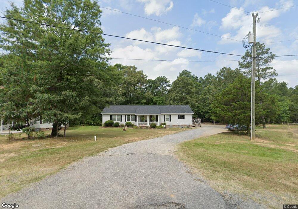
1256 Belmont Circle Dr Lancaster, SC 29720
Estimated Value: $214,000 - $291,000
--
Bed
2
Baths
1,836
Sq Ft
$133/Sq Ft
Est. Value
About This Home
This home is located at 1256 Belmont Circle Dr, Lancaster, SC 29720 and is currently estimated at $243,997, approximately $132 per square foot. 1256 Belmont Circle Dr is a home located in Lancaster County with nearby schools including Erwin Elementary School, South Middle School, and Lancaster High School.
Ownership History
Date
Name
Owned For
Owner Type
Purchase Details
Closed on
Feb 25, 2008
Sold by
Rainbow Enterprises Of The Carolinas Llc
Bought by
Mccree Derrick S
Current Estimated Value
Home Financials for this Owner
Home Financials are based on the most recent Mortgage that was taken out on this home.
Original Mortgage
$106,985
Outstanding Balance
$66,256
Interest Rate
5.63%
Mortgage Type
FHA
Estimated Equity
$177,741
Purchase Details
Closed on
Apr 9, 2007
Sold by
The Bank Of New York Trust Co Na
Bought by
Rainbow Enterprises Of The Carolinas Llc
Purchase Details
Closed on
Jan 19, 2007
Sold by
Estate Of Sharon Haggins
Bought by
The Bank Of New York Trust Co Na and Jpmorgan Chase Bank Na
Purchase Details
Closed on
Aug 3, 2004
Sold by
Burch Arthur M
Bought by
Massey Thomas J
Create a Home Valuation Report for This Property
The Home Valuation Report is an in-depth analysis detailing your home's value as well as a comparison with similar homes in the area
Home Values in the Area
Average Home Value in this Area
Purchase History
| Date | Buyer | Sale Price | Title Company |
|---|---|---|---|
| Mccree Derrick S | $108,000 | None Available | |
| Rainbow Enterprises Of The Carolinas Llc | $64,000 | None Available | |
| The Bank Of New York Trust Co Na | $2,500 | None Available | |
| Massey Thomas J | $8,500 | -- |
Source: Public Records
Mortgage History
| Date | Status | Borrower | Loan Amount |
|---|---|---|---|
| Open | Mccree Derrick S | $106,985 |
Source: Public Records
Tax History Compared to Growth
Tax History
| Year | Tax Paid | Tax Assessment Tax Assessment Total Assessment is a certain percentage of the fair market value that is determined by local assessors to be the total taxable value of land and additions on the property. | Land | Improvement |
|---|---|---|---|---|
| 2024 | $714 | $4,652 | $552 | $4,100 |
| 2023 | $711 | $4,652 | $552 | $4,100 |
| 2022 | $708 | $4,652 | $552 | $4,100 |
| 2021 | $693 | $4,652 | $552 | $4,100 |
| 2020 | $648 | $4,232 | $552 | $3,680 |
| 2019 | $1,430 | $4,232 | $552 | $3,680 |
| 2018 | $1,376 | $4,232 | $552 | $3,680 |
| 2017 | $634 | $0 | $0 | $0 |
| 2016 | $618 | $0 | $0 | $0 |
| 2015 | $508 | $0 | $0 | $0 |
| 2014 | $508 | $0 | $0 | $0 |
| 2013 | $508 | $0 | $0 | $0 |
Source: Public Records
Map
Nearby Homes
- 1447 Carmel Rd
- 1324 Mason St
- 1428 Boxwood Ave
- 1530 Danlee Dr
- 1250 Hampton Grace Ave
- 1397 Grace Ave
- 1795 Grace Ave
- 1631 Oakdale Dr
- 1658 Oakdale Dr
- 1324 Jefferson St
- 951 Confederate Ave
- 1797 Drywood Cir
- 1007 Old Thompson Ave
- 1746 Grace Ave Unit 1
- 5.45 acres Memorial Park Rd
- 3.04 acres Memorial Park Rd
- 1801 Grace Ave
- 1500 Victoria St Unit 4
- 1501 Victoria St Unit 11
- 1503 Victoria St
- 1260 Belmont Circle Dr
- 1250 Belmont Circle Dr
- 1211 Belmont Circle Dr
- 1217 Belmont Circle Dr Unit 81
- 1237 Belmont Circle Dr
- 1211 Belmont Circle Dr Unit 82
- 1264 Belmont Circle Dr
- 00 Belmont Circle Dr Unit 73
- 0000 Belmont Circle Dr Unit 20
- 0000 Belmont Circle Dr
- 1268 Belmont Circle Dr
- 1239 Belmont Circle Dr
- 1262 Belmont Circle Dr
- 1242 Belmont Circle Dr
- 0000 Belmont Cir
- 0000 Belmont Cir Unit 73
- 0000 Belmont Cir Unit 68
- 1238 Belmont Circle Dr
- 1232 Belmont Circle Dr
- 1416 Carmel Rd