Estimated Value: $176,657 - $209,000
3
Beds
1
Bath
1,100
Sq Ft
$176/Sq Ft
Est. Value
About This Home
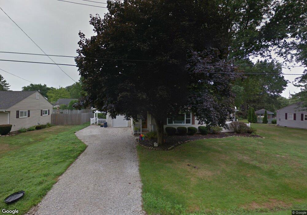
This home is located at 1256 Meadow Dr, Kent, OH 44240 and is currently estimated at $193,164, approximately $175 per square foot. 1256 Meadow Dr is a home located in Portage County with nearby schools including Longcoy Elementary School, Stanton Middle School, and Theodore Roosevelt High School.
Ownership History
Date
Name
Owned For
Owner Type
Purchase Details
Closed on
May 13, 2004
Sold by
Pawlowski Michael A and Pawlowski Tiffany M
Bought by
Fried Chris and Fried Julia R
Current Estimated Value
Home Financials for this Owner
Home Financials are based on the most recent Mortgage that was taken out on this home.
Original Mortgage
$116,914
Outstanding Balance
$56,699
Interest Rate
5.99%
Mortgage Type
FHA
Estimated Equity
$136,465
Purchase Details
Closed on
Jun 26, 2000
Sold by
Pawlowski Michael A
Bought by
Pawlowski Michael A and Kelly Tiffany M
Purchase Details
Closed on
Sep 8, 1997
Sold by
Nickol Bradley C
Bought by
Pawlowski Michael A
Home Financials for this Owner
Home Financials are based on the most recent Mortgage that was taken out on this home.
Original Mortgage
$75,767
Interest Rate
7.54%
Mortgage Type
FHA
Create a Home Valuation Report for This Property
The Home Valuation Report is an in-depth analysis detailing your home's value as well as a comparison with similar homes in the area
Home Values in the Area
Average Home Value in this Area
Purchase History
| Date | Buyer | Sale Price | Title Company |
|---|---|---|---|
| Fried Chris | $118,800 | Portage Lawyers Title | |
| Pawlowski Michael A | -- | -- | |
| Pawlowski Michael A | $82,100 | -- |
Source: Public Records
Mortgage History
| Date | Status | Borrower | Loan Amount |
|---|---|---|---|
| Open | Fried Chris | $116,914 | |
| Closed | Pawlowski Michael A | $75,767 |
Source: Public Records
Tax History Compared to Growth
Tax History
| Year | Tax Paid | Tax Assessment Tax Assessment Total Assessment is a certain percentage of the fair market value that is determined by local assessors to be the total taxable value of land and additions on the property. | Land | Improvement |
|---|---|---|---|---|
| 2024 | $2,372 | $52,920 | $14,420 | $38,500 |
| 2023 | $2,329 | $42,180 | $11,170 | $31,010 |
| 2022 | $2,327 | $42,180 | $11,170 | $31,010 |
| 2021 | $2,332 | $42,180 | $11,170 | $31,010 |
| 2020 | $2,205 | $35,600 | $11,170 | $24,430 |
| 2019 | $2,205 | $35,600 | $11,170 | $24,430 |
| 2018 | $2,294 | $34,270 | $10,850 | $23,420 |
| 2017 | $2,294 | $34,270 | $10,850 | $23,420 |
| 2016 | $2,288 | $34,270 | $10,850 | $23,420 |
| 2015 | $2,289 | $34,270 | $10,850 | $23,420 |
| 2014 | $2,328 | $34,270 | $10,850 | $23,420 |
| 2013 | $2,311 | $34,270 | $10,850 | $23,420 |
Source: Public Records
Map
Nearby Homes
- 1181 Norwood St
- 1265 W Main St
- 3127 Deercrest Path
- 2973 Mourning Dove Cir
- 600 Silver Meadows Blvd
- 978 Silver Meadows Blvd
- 430 W Elm St
- 3383 Suffolk Downs
- 346 Harris St
- 328 Dodge St
- 3128 Bay Meadows Cir
- 115 S Mantua St
- 1204 Franklin Ave
- 715 Franklin Ave
- 146 W Elm St
- 2703 York Dr Unit 41
- 634 S Water St
- 940 Kevin Dr
- 4363 Ohio 43
- 529 Rockwell St