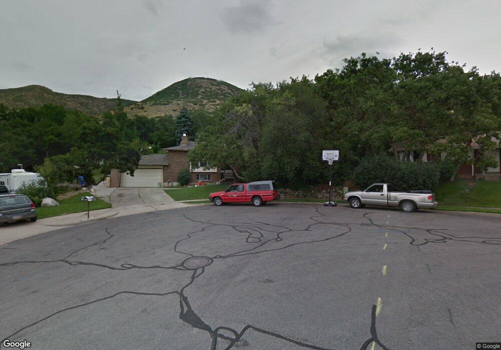
1256 N 325 E Centerville, UT 84014
Estimated Value: $543,000 - $601,000
5
Beds
3
Baths
2,784
Sq Ft
$204/Sq Ft
Est. Value
About This Home
This home is located at 1256 N 325 E, Centerville, UT 84014 and is currently estimated at $568,785, approximately $204 per square foot. 1256 N 325 E is a home located in Davis County with nearby schools including Stewart Elementary School, Centerville Jr High, and Viewmont High School.
Ownership History
Date
Name
Owned For
Owner Type
Purchase Details
Closed on
May 29, 2013
Sold by
Randall Dennis T and Randall Joyce F
Bought by
Bush Paul and Bush Jenny
Current Estimated Value
Purchase Details
Closed on
Feb 26, 2001
Sold by
Randall Dennis T
Bought by
Randall Dennis T and Randall Joyce F
Create a Home Valuation Report for This Property
The Home Valuation Report is an in-depth analysis detailing your home's value as well as a comparison with similar homes in the area
Purchase History
| Date | Buyer | Sale Price | Title Company |
|---|---|---|---|
| Bush Paul | -- | Cottnwood Title Ins Ag | |
| Randall Dennis T | -- | -- |
Source: Public Records
Tax History
| Year | Tax Paid | Tax Assessment Tax Assessment Total Assessment is a certain percentage of the fair market value that is determined by local assessors to be the total taxable value of land and additions on the property. | Land | Improvement |
|---|---|---|---|---|
| 2025 | $3,134 | $299,750 | $184,954 | $114,796 |
| 2024 | $3,087 | $300,300 | $171,810 | $128,490 |
| 2023 | $2,878 | $506,000 | $274,491 | $231,509 |
| 2022 | $3,102 | $300,300 | $140,086 | $160,214 |
| 2021 | $2,746 | $414,000 | $222,252 | $191,748 |
| 2020 | $2,381 | $359,000 | $212,786 | $146,214 |
| 2019 | $2,411 | $355,000 | $199,430 | $155,570 |
| 2018 | $2,241 | $326,000 | $184,316 | $141,684 |
| 2016 | $1,917 | $154,935 | $69,894 | $85,041 |
| 2015 | $1,876 | $143,110 | $69,894 | $73,216 |
| 2014 | $1,679 | $131,015 | $69,894 | $61,121 |
| 2013 | -- | $130,336 | $48,336 | $82,000 |
Source: Public Records
Map
Nearby Homes
- 1290 Oakridge Dr
- 1366 Cottonwood Dr
- 984 N 500 E
- 145 Ford Canyon Dr
- 66 Brookside Ln
- 775 Pheasantbrook Cir
- 290 W 1350 N
- 271 Brookfield Ln
- 563 N 220 E
- 371 W 1125 N
- 1238 N 450 W
- 781 Pheasantbrook Dr
- 292 W 680 N
- 380 E 400 N
- 281 W 650 N Unit B
- 282 W 605 N Unit A
- 282 W 605 N Unit I
- 1549 N 400 W
- 303 W 650 N Unit I
- 252 N 400 E
Your Personal Tour Guide
Ask me questions while you tour the home.