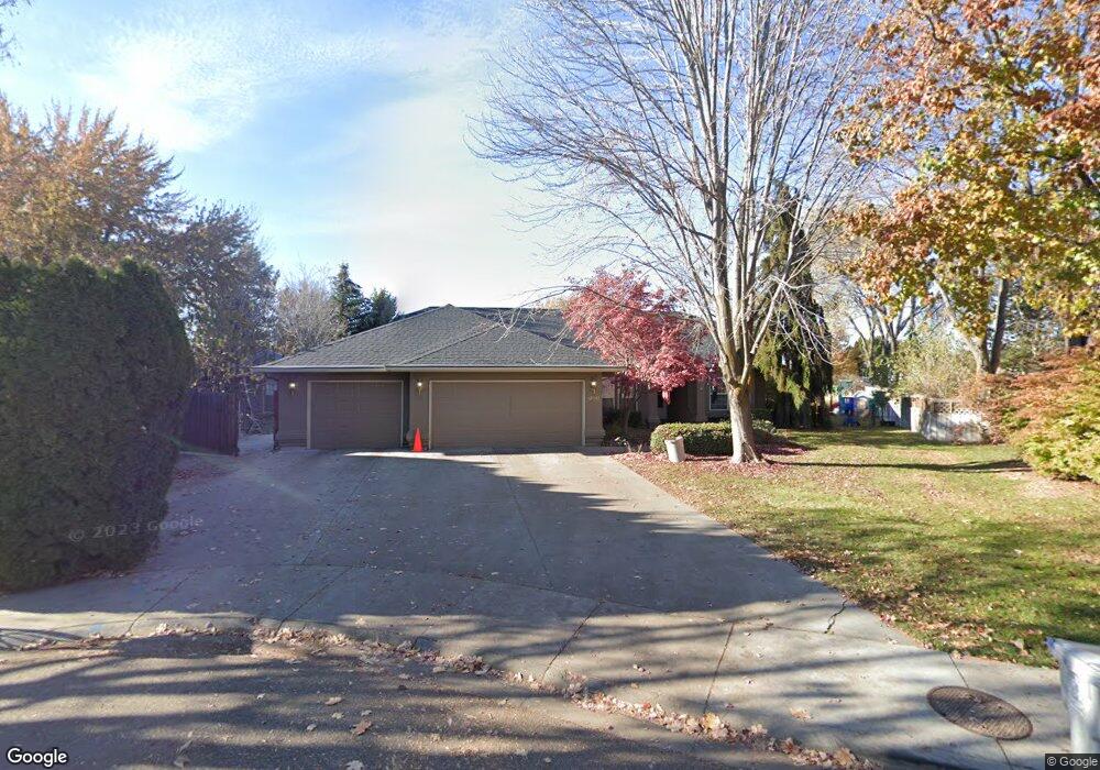
12561 W Bowmont Ct Boise, ID 83713
West Boise NeighborhoodEstimated Value: $560,000 - $625,000
3
Beds
3
Baths
2,333
Sq Ft
$259/Sq Ft
Est. Value
About This Home
This home is located at 12561 W Bowmont Ct, Boise, ID 83713 and is currently estimated at $603,178, approximately $258 per square foot. 12561 W Bowmont Ct is a home located in Ada County with nearby schools including Ustick Elementary School, Lewis & Clark Middle School, and Centennial High School.
Ownership History
Date
Name
Owned For
Owner Type
Purchase Details
Closed on
Sep 29, 2023
Sold by
Manderscheid Jacqueline H
Bought by
Holmberg Trust and Manderscheid
Current Estimated Value
Purchase Details
Closed on
Dec 7, 2009
Sold by
Manderscheid Scott
Bought by
Manderscheid Jacqueline
Purchase Details
Closed on
Jun 29, 2000
Sold by
Thibault Cheryl Renee
Bought by
The Bud H & Heidy P Steinbach Trust
Purchase Details
Closed on
Dec 4, 1998
Sold by
Mcintire Ross C
Bought by
Mcintire Cheryl R and Thibault Cheryl Renee
Create a Home Valuation Report for This Property
The Home Valuation Report is an in-depth analysis detailing your home's value as well as a comparison with similar homes in the area
Home Values in the Area
Average Home Value in this Area
Purchase History
| Date | Buyer | Sale Price | Title Company |
|---|---|---|---|
| Holmberg Trust | -- | None Listed On Document | |
| Manderscheid Jacqueline | -- | None Available | |
| The Bud H & Heidy P Steinbach Trust | -- | Pioneer Title Company | |
| Mcintire Cheryl R | -- | -- |
Source: Public Records
Tax History Compared to Growth
Tax History
| Year | Tax Paid | Tax Assessment Tax Assessment Total Assessment is a certain percentage of the fair market value that is determined by local assessors to be the total taxable value of land and additions on the property. | Land | Improvement |
|---|---|---|---|---|
| 2025 | $2,680 | $530,400 | -- | -- |
| 2024 | $2,661 | $528,700 | -- | -- |
| 2023 | $2,661 | $505,600 | $0 | $0 |
| 2022 | $3,288 | $610,400 | $0 | $0 |
| 2021 | $2,889 | $453,300 | $0 | $0 |
| 2020 | $2,638 | $363,500 | $0 | $0 |
| 2019 | $3,264 | $354,200 | $0 | $0 |
| 2018 | $2,723 | $291,200 | $0 | $0 |
| 2017 | $2,611 | $272,400 | $0 | $0 |
| 2016 | $2,346 | $245,900 | $0 | $0 |
| 2015 | $2,340 | $231,600 | $0 | $0 |
| 2012 | -- | $170,000 | $0 | $0 |
Source: Public Records
Map
Nearby Homes
- 12148 W Clover Meadows Dr
- 2870 N Cloverdale Rd
- 12030 W Abram St
- 2834 N Cloverdale Rd Unit 146
- 11934 W Ardyce St
- 4130 E Chandler St
- Plan 1910 at Mooseland
- Plan 2301 at Mooseland
- Plan 2800 at Mooseland
- 12488 W Azure St
- 1114 N Dawn Place
- 6854 N Zakariah Ave
- 1931 N Delmar St
- 3413 N Campton Way
- 2104 N Bryson Rd
- 12528 W Lewis And Clark Dr
- 11288 W Race Ct
- 4249 E English Dr
- 11459 W Olympus Ct
- 11349 W Marlinwood St
- 12549 W Bowmont Ct
- 12560 W Bowmont Ct
- 12525 W Bowmont Ct
- 12548 W Bowmont Ct
- 2300 Sharon Dr
- 4350 Greenmeadow Dr
- 12522 W Bowmont Ct
- 12522 W Bowmont Ct Unit 2601
- 12493 W Bowmont Ct
- 2401 N Highwood Ave
- 12588 W Clover Meadows Dr
- 4387 E Tahiti Dr
- 12545 W Tahiti St
- 12490 W Bowmont Ct
- 4350 E Clover Meadows Dr
- 4355 E Tahiti Dr
- 12523 W Tahiti St
- 2409 N Highwood Ave
- 4355 E Tahiti St
- 12546 W Clover Meadows Dr