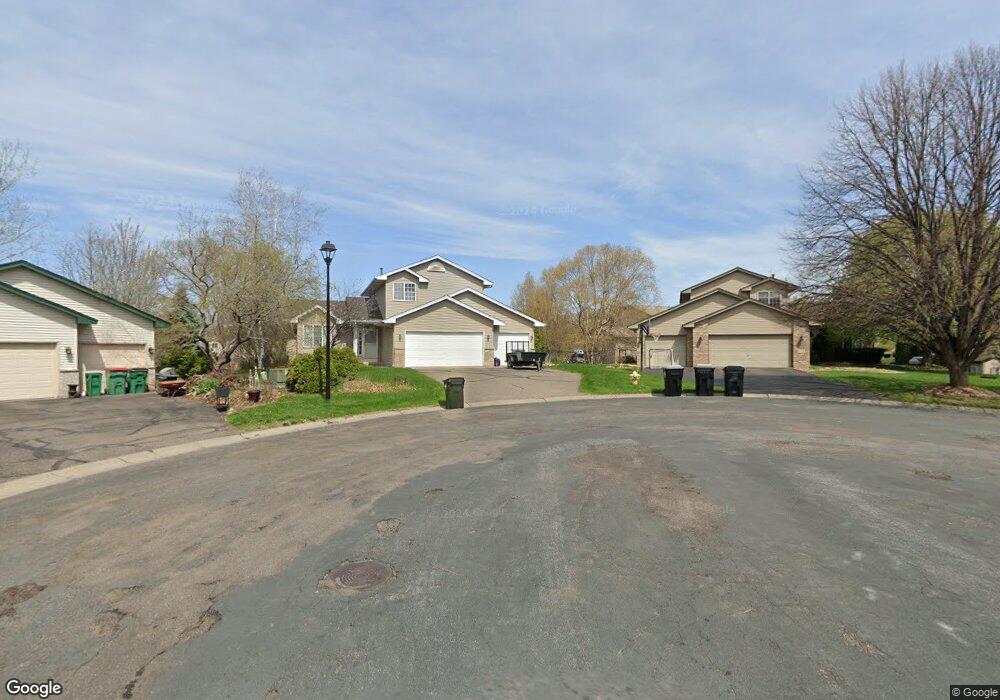
12564 Swallow St NW Coon Rapids, MN 55448
Estimated Value: $375,000 - $444,739
3
Beds
3
Baths
1,733
Sq Ft
$240/Sq Ft
Est. Value
About This Home
This home is located at 12564 Swallow St NW, Coon Rapids, MN 55448 and is currently estimated at $416,685, approximately $240 per square foot. 12564 Swallow St NW is a home located in Anoka County with nearby schools including Lucile Bruner Elementary School, Morris Bye Elementary School, and Laughlin Junior/Senior High School.
Ownership History
Date
Name
Owned For
Owner Type
Purchase Details
Closed on
Apr 10, 2018
Sold by
Demarais Richrd A and Demarais Alice
Bought by
Demarals Family Living Trust
Current Estimated Value
Purchase Details
Closed on
Oct 24, 2017
Sold by
Wold Wesley W and Wold Lowella D
Bought by
Demarais Richard A and K Demarais Alica L O
Home Financials for this Owner
Home Financials are based on the most recent Mortgage that was taken out on this home.
Original Mortgage
$118,000
Outstanding Balance
$98,457
Interest Rate
3.78%
Mortgage Type
New Conventional
Estimated Equity
$318,228
Purchase Details
Closed on
Sep 18, 2017
Sold by
Assemblies Of God Foundation
Bought by
Wold Wesley W and Wold Lowella D
Home Financials for this Owner
Home Financials are based on the most recent Mortgage that was taken out on this home.
Original Mortgage
$118,000
Outstanding Balance
$98,457
Interest Rate
3.78%
Mortgage Type
New Conventional
Estimated Equity
$318,228
Create a Home Valuation Report for This Property
The Home Valuation Report is an in-depth analysis detailing your home's value as well as a comparison with similar homes in the area
Home Values in the Area
Average Home Value in this Area
Purchase History
| Date | Buyer | Sale Price | Title Company |
|---|---|---|---|
| Demarals Family Living Trust | -- | None Available | |
| Demarais Richard A | $318,000 | Titlesmart Inc | |
| Wold Wesley W | -- | None Available |
Source: Public Records
Mortgage History
| Date | Status | Borrower | Loan Amount |
|---|---|---|---|
| Open | Demarais Richard A | $118,000 |
Source: Public Records
Tax History Compared to Growth
Tax History
| Year | Tax Paid | Tax Assessment Tax Assessment Total Assessment is a certain percentage of the fair market value that is determined by local assessors to be the total taxable value of land and additions on the property. | Land | Improvement |
|---|---|---|---|---|
| 2025 | $4,601 | $434,900 | $65,000 | $369,900 |
| 2024 | $4,367 | $424,200 | $62,000 | $362,200 |
| 2023 | $3,772 | $429,200 | $65,000 | $364,200 |
| 2022 | $4,213 | $380,000 | $55,000 | $325,000 |
| 2021 | $4,056 | $374,100 | $50,000 | $324,100 |
| 2020 | $4,094 | $351,100 | $45,000 | $306,100 |
| 2019 | $3,867 | $338,900 | $45,000 | $293,900 |
| 2018 | $3,636 | $310,000 | $0 | $0 |
| 2017 | $3,463 | $290,300 | $0 | $0 |
| 2016 | $3,511 | $270,000 | $0 | $0 |
| 2015 | $3,261 | $270,000 | $35,000 | $235,000 |
| 2014 | -- | $225,700 | $19,300 | $206,400 |
Source: Public Records
Map
Nearby Homes
- 2147 125th Ln NW
- 12760 Raven St NW
- 2068 124th Ln NW
- 1930 127th Cir NW
- 12888 Nightingale St NW
- 12365 Jay St NW
- 2675 128th Ave NW
- 12554 Grouse St NW
- 12759 Ibis St NW
- 1593 126th Ln NW
- 1727 121st Ln NW
- 12463 Drake St NW
- 12019 Zion St NW
- 1450 126th Ln NW
- 1520 129th Ave NW
- 13182 Zion St NW
- 1687 131st Ln NW
- 13416 Swallow St NW
- 1776 133rd Ave NW
- 2740 132nd Ln NW
- 12570 Swallow St NW
- 12560 Swallow St NW
- 12574 Swallow St NW
- 12575 Thrush St NW
- 12554 Swallow St NW
- 12579 Thrush St NW
- 12587 Thrush St NW
- 12571 Thrush St NW
- 12583 Thrush St NW
- 12583 Thrush St NW
- 12580 Swallow St NW
- 12573 Swallow St NW
- 2169 125th Ln NW
- 2161 125th Ln NW
- 12591 Thrush St NW
- 12550 Swallow St NW
- 12550 Swallow St NW
- 12559 Thrush St NW
- 12577 Swallow St NW
- 12584 Swallow St NW