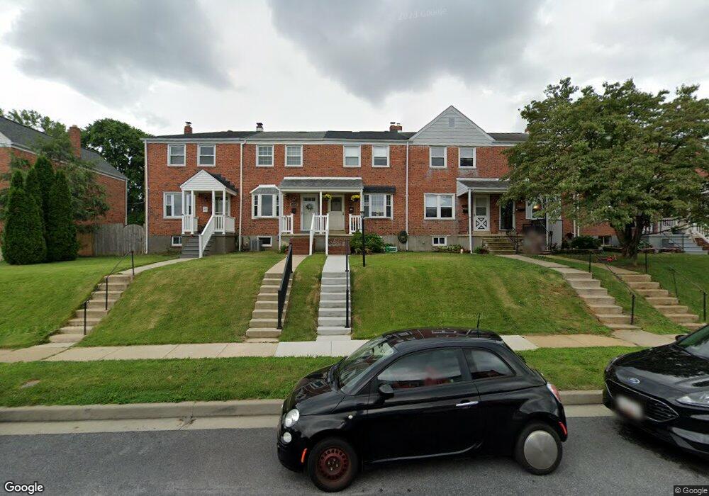
1257 Brewster St Halethorpe, MD 21227
Estimated Value: $255,040 - $290,000
3
Beds
1
Bath
1,024
Sq Ft
$264/Sq Ft
Est. Value
About This Home
This home is located at 1257 Brewster St, Halethorpe, MD 21227 and is currently estimated at $270,760, approximately $264 per square foot. 1257 Brewster St is a home located in Baltimore County with nearby schools including Arbutus Elementary School, Arbutus Middle School, and Lansdowne High School.
Ownership History
Date
Name
Owned For
Owner Type
Purchase Details
Closed on
Sep 27, 2000
Sold by
Ulloa Fernando
Bought by
Longo Michele and Longo Patricia
Current Estimated Value
Purchase Details
Closed on
May 10, 1994
Sold by
Tickner Simon Beth I
Bought by
Ulloa Fernando
Home Financials for this Owner
Home Financials are based on the most recent Mortgage that was taken out on this home.
Original Mortgage
$88,400
Interest Rate
7.7%
Purchase Details
Closed on
May 29, 1992
Sold by
Espey James F
Bought by
Tickner Beth Irene
Create a Home Valuation Report for This Property
The Home Valuation Report is an in-depth analysis detailing your home's value as well as a comparison with similar homes in the area
Home Values in the Area
Average Home Value in this Area
Purchase History
| Date | Buyer | Sale Price | Title Company |
|---|---|---|---|
| Longo Michele | $96,500 | -- | |
| Ulloa Fernando | $88,500 | -- | |
| Tickner Beth Irene | $91,000 | -- |
Source: Public Records
Mortgage History
| Date | Status | Borrower | Loan Amount |
|---|---|---|---|
| Previous Owner | Ulloa Fernando | $88,400 |
Source: Public Records
Tax History
| Year | Tax Paid | Tax Assessment Tax Assessment Total Assessment is a certain percentage of the fair market value that is determined by local assessors to be the total taxable value of land and additions on the property. | Land | Improvement |
|---|---|---|---|---|
| 2025 | $3,158 | $197,700 | -- | -- |
| 2024 | $3,158 | $186,400 | $55,800 | $130,600 |
| 2023 | $1,571 | $182,000 | $0 | $0 |
| 2022 | $2,986 | $177,600 | $0 | $0 |
| 2021 | $2,835 | $173,200 | $55,800 | $117,400 |
| 2020 | $2,835 | $167,800 | $0 | $0 |
| 2019 | $2,715 | $162,400 | $0 | $0 |
| 2018 | $2,605 | $157,000 | $55,800 | $101,200 |
| 2017 | $2,550 | $152,333 | $0 | $0 |
| 2016 | $2,075 | $147,667 | $0 | $0 |
| 2015 | $2,075 | $143,000 | $0 | $0 |
| 2014 | $2,075 | $143,000 | $0 | $0 |
Source: Public Records
Map
Nearby Homes
- 1207 Brewster St
- 5522 Ashbourne Rd
- 5402 Council St
- 5521 Willys Ave
- 1078 Downton Rd
- 1204 Birch Ave
- 1027 Downton Rd
- 5605 Oregon Ave
- 1416 Sulphur Spring Rd
- 1328 Stevens Ave
- 1211 Poplar Ave
- 1015 Stormont Cir
- 933 Elm Rd
- 1258 Linden Ave
- 927 Grovehill Rd
- 901 Grovehill Rd
- 4606 Ridge Ave
- 1710H Selma Ave
- 4412 Maple Ave
- 1212 Seven Oaks Rd
- 1255 Brewster St
- 1259 Brewster St
- 1253 Brewster St
- 1261 Brewster St
- 1251 Brewster St
- 1263 Brewster St
- 1249 Brewster St
- 1265 Brewster St
- 1247 Brewster St
- 1267 Brewster St
- 1245 Brewster St
- 1269 Brewster St
- 1243 Brewster St
- 1271 Brewster St
- 1248 June Rd
- 1250 June Rd
- 1241 Brewster St
- 1273 Brewster St
- 1216 June Rd
- 1239 Brewster St
Your Personal Tour Guide
Ask me questions while you tour the home.