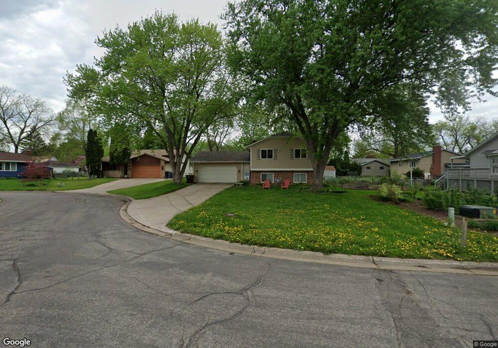
1257 Harmon Ct West St. Paul, MN 55118
Estimated Value: $362,214 - $392,000
4
Beds
2
Baths
991
Sq Ft
$377/Sq Ft
Est. Value
About This Home
This home is located at 1257 Harmon Ct, West St. Paul, MN 55118 and is currently estimated at $374,054, approximately $377 per square foot. 1257 Harmon Ct is a home located in Dakota County with nearby schools including Moreland Arts & Health Sciences Magnet School, Heritage E-STEM Magnet School, and Two Rivers High School.
Ownership History
Date
Name
Owned For
Owner Type
Purchase Details
Closed on
Jun 18, 2015
Sold by
Ladd Peter L and Ladd Nora A
Bought by
Liden Gunnar L and Liden Katherine S
Current Estimated Value
Home Financials for this Owner
Home Financials are based on the most recent Mortgage that was taken out on this home.
Original Mortgage
$264,550
Outstanding Balance
$205,412
Interest Rate
3.82%
Mortgage Type
New Conventional
Estimated Equity
$168,642
Purchase Details
Closed on
Sep 18, 2009
Sold by
Gornick Julianne M
Bought by
Ladd Peter L and Ladd Nora A
Create a Home Valuation Report for This Property
The Home Valuation Report is an in-depth analysis detailing your home's value as well as a comparison with similar homes in the area
Home Values in the Area
Average Home Value in this Area
Purchase History
| Date | Buyer | Sale Price | Title Company |
|---|---|---|---|
| Liden Gunnar L | $278,500 | Stewart Title | |
| Ladd Peter L | $241,900 | -- |
Source: Public Records
Mortgage History
| Date | Status | Borrower | Loan Amount |
|---|---|---|---|
| Open | Liden Gunnar L | $264,550 |
Source: Public Records
Tax History Compared to Growth
Tax History
| Year | Tax Paid | Tax Assessment Tax Assessment Total Assessment is a certain percentage of the fair market value that is determined by local assessors to be the total taxable value of land and additions on the property. | Land | Improvement |
|---|---|---|---|---|
| 2024 | $3,926 | $312,000 | $83,500 | $228,500 |
| 2023 | $3,926 | $323,800 | $88,500 | $235,300 |
| 2022 | $3,572 | $316,000 | $88,200 | $227,800 |
| 2021 | $3,446 | $281,200 | $76,700 | $204,500 |
| 2020 | $3,284 | $270,500 | $73,000 | $197,500 |
| 2019 | $3,111 | $252,400 | $69,500 | $182,900 |
| 2018 | $2,972 | $230,200 | $65,000 | $165,200 |
| 2017 | $2,753 | $229,400 | $61,900 | $167,500 |
| 2016 | $2,589 | $206,700 | $56,300 | $150,400 |
| 2015 | $2,693 | $176,727 | $49,696 | $127,031 |
| 2014 | -- | $178,144 | $44,446 | $133,698 |
| 2013 | -- | $161,358 | $40,207 | $121,151 |
Source: Public Records
Map
Nearby Homes
- 158 Southwind Ln
- 63 Langer Cir
- 69 Langer Cir
- 242 Butler Ave W
- 111 Imperial Dr W Unit 102
- 100 Imperial Dr W Unit 204
- 280 Edith Dr
- 1220 Stryker Ave
- 1277 Hall Ave
- 1384 Smith Ave S
- 1062 Ohio St
- 389 Edith Dr
- 1450 Bidwell St Unit 110
- 1016 Bidwell St
- 1084 Hall Ave
- 1095 Cherokee Ave
- 1513 Smith Ave S
- 69 Amelia Ave
- 999 Seminole Ave
- 1076 Humboldt Ave
- 1257 Harmon Ct
- 1257 Harmon Ave
- 1265 Harmon Ct
- 1249 Harmon Ct
- 232 Moreland Ave W
- 1268 1268 Harmon Ct
- 1269 1269 Harmon Ct
- 1254 Charlton St
- 1269 Harmon Ct
- 1250 Charlton St
- 1262 Harmon Ct
- 1254 Harmon Ct
- 232 232 Moreland Ave W
- 1262 Harmon Ct
- 1272 Harmon Ct
- 1246 Harmon Ct
- 1276 Charlton St
- 1268 Harmon Ct
- 1236 Charlton St
- 1282 Charlton St