1257 Scott Rd Mansfield, OH 44903
Estimated Value: $388,000 - $520,324
3
Beds
3
Baths
2,447
Sq Ft
$190/Sq Ft
Est. Value
About This Home
This home is located at 1257 Scott Rd, Mansfield, OH 44903 and is currently estimated at $465,441, approximately $190 per square foot. 1257 Scott Rd is a home located in Richland County with nearby schools including Clear Fork High School.
Ownership History
Date
Name
Owned For
Owner Type
Purchase Details
Closed on
Sep 15, 2005
Sold by
Carrington Carl G and Carrington Stacy
Bought by
Evans Jerry P and Evans Jodi L
Current Estimated Value
Home Financials for this Owner
Home Financials are based on the most recent Mortgage that was taken out on this home.
Original Mortgage
$300,000
Outstanding Balance
$161,307
Interest Rate
5.93%
Mortgage Type
Fannie Mae Freddie Mac
Estimated Equity
$304,134
Purchase Details
Closed on
Oct 25, 1990
Purchase Details
Closed on
Oct 1, 1985
Create a Home Valuation Report for This Property
The Home Valuation Report is an in-depth analysis detailing your home's value as well as a comparison with similar homes in the area
Home Values in the Area
Average Home Value in this Area
Purchase History
| Date | Buyer | Sale Price | Title Company |
|---|---|---|---|
| Evans Jerry P | $300,000 | Chicago Title | |
| -- | $17,900 | -- | |
| -- | $16,000 | -- |
Source: Public Records
Mortgage History
| Date | Status | Borrower | Loan Amount |
|---|---|---|---|
| Open | Evans Jerry P | $300,000 |
Source: Public Records
Tax History
| Year | Tax Paid | Tax Assessment Tax Assessment Total Assessment is a certain percentage of the fair market value that is determined by local assessors to be the total taxable value of land and additions on the property. | Land | Improvement |
|---|---|---|---|---|
| 2024 | $5,785 | $133,730 | $23,990 | $109,740 |
| 2023 | $5,891 | $133,730 | $23,990 | $109,740 |
| 2022 | $5,385 | $108,950 | $20,600 | $88,350 |
| 2021 | $5,461 | $108,950 | $20,600 | $88,350 |
| 2020 | $5,149 | $108,950 | $20,600 | $88,350 |
| 2019 | $4,916 | $93,500 | $17,270 | $76,230 |
| 2018 | $4,871 | $93,500 | $17,270 | $76,230 |
| 2017 | $4,776 | $93,500 | $17,270 | $76,230 |
| 2016 | $4,284 | $81,490 | $14,690 | $66,800 |
| 2015 | $4,284 | $81,490 | $14,690 | $66,800 |
| 2014 | $4,030 | $81,490 | $14,690 | $66,800 |
| 2012 | $1,954 | $84,020 | $15,150 | $68,870 |
Source: Public Records
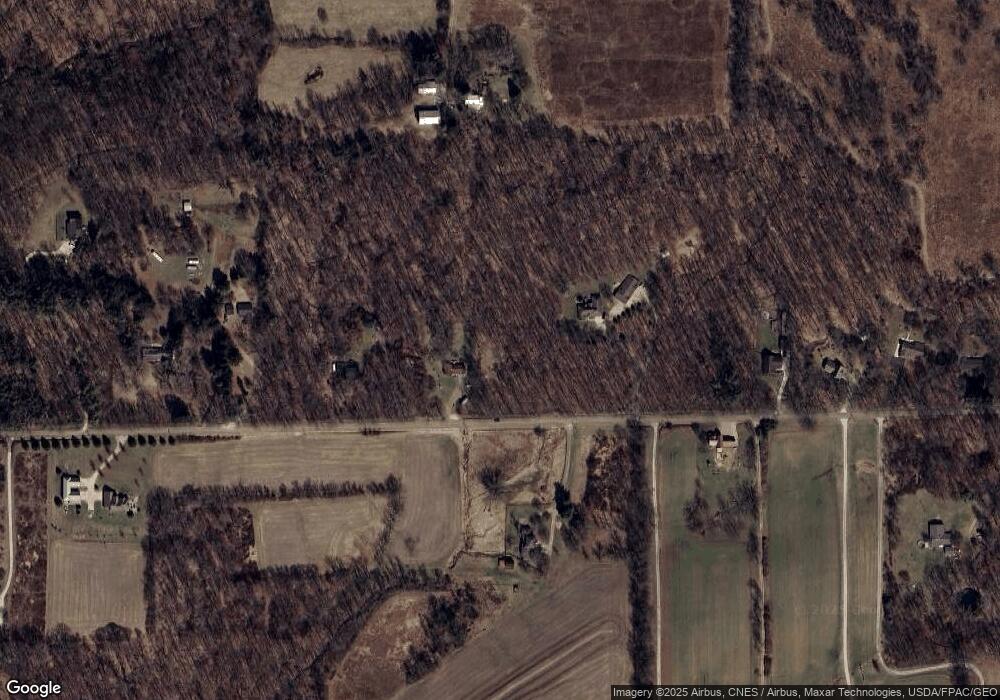
Map
Nearby Homes
- 3405 Hastings Newville Rd
- 3362 Possum Run Rd
- 0 Anderson Rd
- 4656 Rule Rd
- 400 Garver Rd
- 3550 German Church Rd
- 0 Riggle Rd
- 3263 Ohio 13
- 4977 Teeter Rd
- 2420 Mansfield Washington Rd
- 119 Yorkshire Rd
- 309 Vanderbilt Rd
- 0 Woodruff Rd
- 0 State Route 97 E
- 608 Woodruff Rd
- 2130 State Route 39
- 106 School St
- 1851 State Route 39
- 74 E Durbin Ave
- 27 E Main St
- 1241 Scott Rd
- 1296 Scott Rd
- 1333 Scott Rd
- 1365 Scott Rd
- 1258 Scott Rd
- 3481 Washington South Rd
- 1195 Scott Rd
- 1377 Scott Rd
- 1165 Scott Rd
- 1401 Scott Rd
- 1390 Scott Rd
- 1157 Scott Rd
- 1415 Scott Rd
- 1166 Scott Rd
- 1117 Scott Rd
- 1306 Scott Rd
- 3429 Washington South Rd
- 1380 Scott Rd
- 1077 Scott Rd
- 3585 Washington Rd S
Your Personal Tour Guide
Ask me questions while you tour the home.