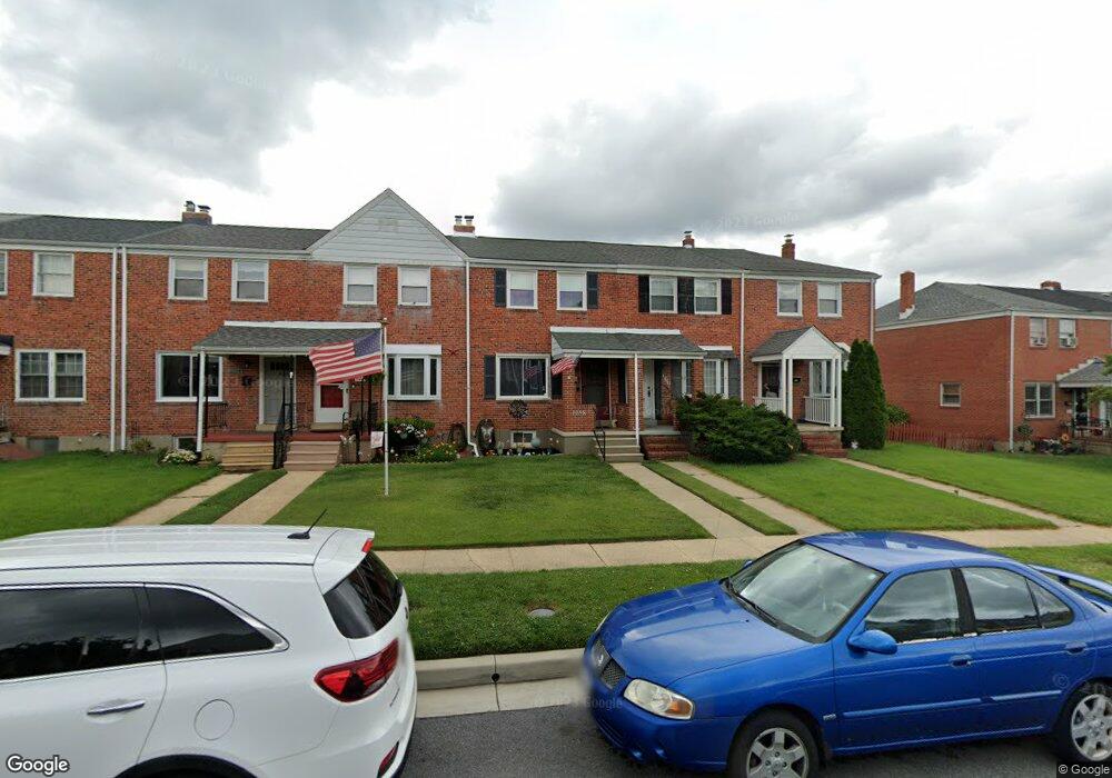
1258 Brewster St Halethorpe, MD 21227
Estimated Value: $260,125 - $292,000
Studio
2
Baths
1,024
Sq Ft
$270/Sq Ft
Est. Value
About This Home
This home is located at 1258 Brewster St, Halethorpe, MD 21227 and is currently estimated at $276,031, approximately $269 per square foot. 1258 Brewster St is a home located in Baltimore County with nearby schools including Arbutus Elementary School, Arbutus Middle School, and Lansdowne High School.
Ownership History
Date
Name
Owned For
Owner Type
Purchase Details
Closed on
May 25, 2005
Sold by
Townsend Carl M
Bought by
Wirt Andrew D and Wirt Amy D
Current Estimated Value
Home Financials for this Owner
Home Financials are based on the most recent Mortgage that was taken out on this home.
Original Mortgage
$182,100
Outstanding Balance
$95,557
Interest Rate
5.94%
Mortgage Type
New Conventional
Estimated Equity
$180,474
Purchase Details
Closed on
Mar 22, 1999
Sold by
Ripley Brian F
Bought by
Townsend Carl M and Townsend Laurie M
Create a Home Valuation Report for This Property
The Home Valuation Report is an in-depth analysis detailing your home's value as well as a comparison with similar homes in the area
Home Values in the Area
Average Home Value in this Area
Purchase History
| Date | Buyer | Sale Price | Title Company |
|---|---|---|---|
| Wirt Andrew D | $203,000 | -- | |
| Townsend Carl M | $100,000 | -- |
Source: Public Records
Mortgage History
| Date | Status | Borrower | Loan Amount |
|---|---|---|---|
| Open | Wirt Andrew D | $182,100 |
Source: Public Records
Tax History
| Year | Tax Paid | Tax Assessment Tax Assessment Total Assessment is a certain percentage of the fair market value that is determined by local assessors to be the total taxable value of land and additions on the property. | Land | Improvement |
|---|---|---|---|---|
| 2025 | $3,222 | $196,467 | -- | -- |
| 2024 | $3,222 | $185,200 | $55,800 | $129,400 |
| 2023 | $1,572 | $180,867 | $0 | $0 |
| 2022 | $2,966 | $176,533 | $0 | $0 |
| 2021 | $2,822 | $172,200 | $55,800 | $116,400 |
| 2020 | $2,822 | $167,333 | $0 | $0 |
| 2019 | $2,768 | $162,467 | $0 | $0 |
| 2018 | $2,609 | $157,600 | $55,800 | $101,800 |
| 2017 | $2,436 | $152,933 | $0 | $0 |
| 2016 | $2,073 | $148,267 | $0 | $0 |
| 2015 | $2,073 | $143,600 | $0 | $0 |
| 2014 | $2,073 | $143,600 | $0 | $0 |
Source: Public Records
Map
Nearby Homes
- 5522 Ashbourne Rd
- 1207 Brewster St
- 5402 Council St
- 5521 Willys Ave
- 1204 Birch Ave
- 1416 Sulphur Spring Rd
- 5605 Oregon Ave
- 1078 Downton Rd
- 1328 Stevens Ave
- 1211 Poplar Ave
- 1027 Downton Rd
- 1258 Linden Ave
- 1015 Stormont Cir
- 933 Elm Rd
- 927 Grovehill Rd
- 1212 Seven Oaks Rd
- 4606 Ridge Ave
- 901 Grovehill Rd
- 0 Dewitt Rd
- 4412 Maple Ave
- 1256 Brewster St
- 1260 Brewster St
- 1254 Brewster St
- 1262 Brewster St
- 1252 Brewster St
- 1264 Brewster St
- 1250 Brewster St
- 1266 Bsrewster St
- 1266 Brewster St
- 5537 Council St
- 1268 Brewster St
- 5535 Council St
- 5533 Council St
- 1270 Brewster St
- 5524 Oakland Rd
- 5522 Oakland Rd
- 5531 Council St
- 5520 Oakland Rd
- 5529 Council St
- 1240 Brewster St
Your Personal Tour Guide
Ask me questions while you tour the home.