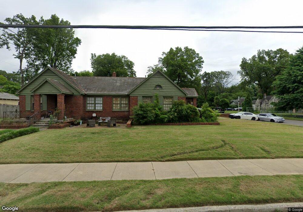
1258 S Barksdale St Memphis, TN 38114
Southeast Memphis NeighborhoodEstimated Value: $106,215 - $193,000
1
Bed
2
Baths
1,503
Sq Ft
$106/Sq Ft
Est. Value
About This Home
This home is located at 1258 S Barksdale St, Memphis, TN 38114 and is currently estimated at $158,804, approximately $105 per square foot. 1258 S Barksdale St is a home located in Shelby County with nearby schools including Hamilton High School, Immaculate Conception Cathedral School, and Immaculate Conception Elementary School.
Ownership History
Date
Name
Owned For
Owner Type
Purchase Details
Closed on
Nov 28, 2012
Sold by
Wilhite Barbara G
Bought by
Wilhite James H
Current Estimated Value
Purchase Details
Closed on
Feb 11, 2009
Sold by
Deutsche Bank National Trust Company
Bought by
Wilhite James H and Wilhite Barbara G
Purchase Details
Closed on
Oct 19, 2007
Sold by
Shotwell Ellis G
Bought by
Deutsche Bank National Trust Co and Bravo Mortgage Asset Trust 2006-1
Purchase Details
Closed on
Nov 26, 2005
Sold by
Hill Valarie and Shotwell Angela
Bought by
Shotwell Ellis G
Purchase Details
Closed on
Nov 8, 2005
Sold by
Hill Valarie and Shotwell Angela
Bought by
Shotwell Ellis G
Create a Home Valuation Report for This Property
The Home Valuation Report is an in-depth analysis detailing your home's value as well as a comparison with similar homes in the area
Home Values in the Area
Average Home Value in this Area
Purchase History
| Date | Buyer | Sale Price | Title Company |
|---|---|---|---|
| Wilhite James H | -- | -- | |
| Wilhite James H | $27,000 | Us Land Title Of Tn Llc | |
| Deutsche Bank National Trust Co | $48,825 | None Available | |
| Shotwell Ellis G | -- | -- | |
| Shotwell Ellis G | -- | -- |
Source: Public Records
Tax History Compared to Growth
Tax History
| Year | Tax Paid | Tax Assessment Tax Assessment Total Assessment is a certain percentage of the fair market value that is determined by local assessors to be the total taxable value of land and additions on the property. | Land | Improvement |
|---|---|---|---|---|
| 2025 | $786 | $40,680 | $12,440 | $28,240 |
| 2024 | $786 | $23,200 | $2,920 | $20,280 |
| 2023 | $1,413 | $23,200 | $2,920 | $20,280 |
| 2022 | $1,413 | $23,200 | $2,920 | $20,280 |
| 2021 | $1,430 | $23,200 | $2,920 | $20,280 |
| 2020 | $1,594 | $22,000 | $2,920 | $19,080 |
| 2019 | $1,594 | $22,000 | $2,920 | $19,080 |
| 2018 | $1,594 | $22,000 | $2,920 | $19,080 |
| 2017 | $904 | $22,000 | $2,920 | $19,080 |
| 2016 | $1,155 | $26,440 | $0 | $0 |
| 2014 | $1,155 | $26,440 | $0 | $0 |
Source: Public Records
Map
Nearby Homes
- 1910 Foster Ave
- 1852 Glenview Ave
- 1824 Kendale Ave
- 1825 Foster Ave
- 1837 Waverly Ave
- 1800 Foster Ave
- 0 S Barksdale St
- 1804 South Pkwy E
- 2008 Waverly Ave
- 1891 S Parkway E
- 1944 E Mclemore Ave
- 1960 E Mclemore Ave
- 1812 Parkway Terrace
- 1952 Southern Ave
- 1960 Southern Ave
- 1931 Manila Ave
- 1151 Tanglewood St
- 1985 Manila Ave
- 1783 Parkway Terrace
- 1712 Glenview Ave
- 1906 Kendale Ave
- 1910 Kendale Ave
- 1238 S Barksdale St
- 1253 S Barksdale St
- 1907 Foster Ave
- 1247 S Barksdale St
- 1259 S Barksdale St
- 1916 Kendale Ave
- 1911 Foster Ave
- 1907 Kendale Ave
- 1889 Foster Ave
- 1920 Kendale Ave
- 1917 Foster Ave
- 1911 Kendale Ave
- 1887 Kendale Ave
- 1878 Kendale Ave
- 1883 Foster Ave
- 1921 Foster Ave
- 1926 Kendale Ave
- 1877 Foster Ave