12585 Summit Ridge Dr Nevada City, CA 95959
Estimated Value: $388,457 - $478,000
2
Beds
1
Bath
912
Sq Ft
$461/Sq Ft
Est. Value
About This Home
This home is located at 12585 Summit Ridge Dr, Nevada City, CA 95959 and is currently estimated at $420,614, approximately $461 per square foot. 12585 Summit Ridge Dr is a home located in Nevada County with nearby schools including Deer Creek Elementary School and Seven Hills Intermediate School.
Ownership History
Date
Name
Owned For
Owner Type
Purchase Details
Closed on
Feb 17, 2020
Sold by
Hunyada Gregory A and Hunyada Vicky Marie
Bought by
Lincoln James Carl and Lincoln Vicky Marie
Current Estimated Value
Home Financials for this Owner
Home Financials are based on the most recent Mortgage that was taken out on this home.
Original Mortgage
$245,000
Outstanding Balance
$216,930
Interest Rate
3.6%
Mortgage Type
Seller Take Back
Estimated Equity
$203,684
Purchase Details
Closed on
Jul 12, 2005
Sold by
Hunyada Gregory A
Bought by
Hunyada Gregory A and Hunyada Debra L
Create a Home Valuation Report for This Property
The Home Valuation Report is an in-depth analysis detailing your home's value as well as a comparison with similar homes in the area
Home Values in the Area
Average Home Value in this Area
Purchase History
| Date | Buyer | Sale Price | Title Company |
|---|---|---|---|
| Lincoln James Carl | -- | None Available | |
| Hunyada Gregory A | -- | United Independent Title Ins |
Source: Public Records
Mortgage History
| Date | Status | Borrower | Loan Amount |
|---|---|---|---|
| Open | Lincoln James Carl | $245,000 |
Source: Public Records
Tax History Compared to Growth
Tax History
| Year | Tax Paid | Tax Assessment Tax Assessment Total Assessment is a certain percentage of the fair market value that is determined by local assessors to be the total taxable value of land and additions on the property. | Land | Improvement |
|---|---|---|---|---|
| 2025 | $6,194 | $328,088 | $65,616 | $262,472 |
| 2024 | $6,069 | $321,656 | $64,330 | $257,326 |
| 2023 | $6,069 | $315,350 | $63,069 | $252,281 |
| 2022 | $5,945 | $309,168 | $61,833 | $247,335 |
| 2021 | $5,800 | $303,107 | $60,621 | $242,486 |
| 2020 | $3,819 | $109,922 | $23,611 | $86,311 |
| 2019 | $2,903 | $23,149 | $23,149 | $0 |
| 2018 | $3,763 | $105,656 | $22,696 | $82,960 |
| 2017 | $3,737 | $103,585 | $22,251 | $81,334 |
| 2016 | $3,693 | $101,555 | $21,815 | $79,740 |
| 2015 | $3,674 | $100,031 | $21,488 | $78,543 |
| 2014 | $3,654 | $98,073 | $21,068 | $77,005 |
Source: Public Records
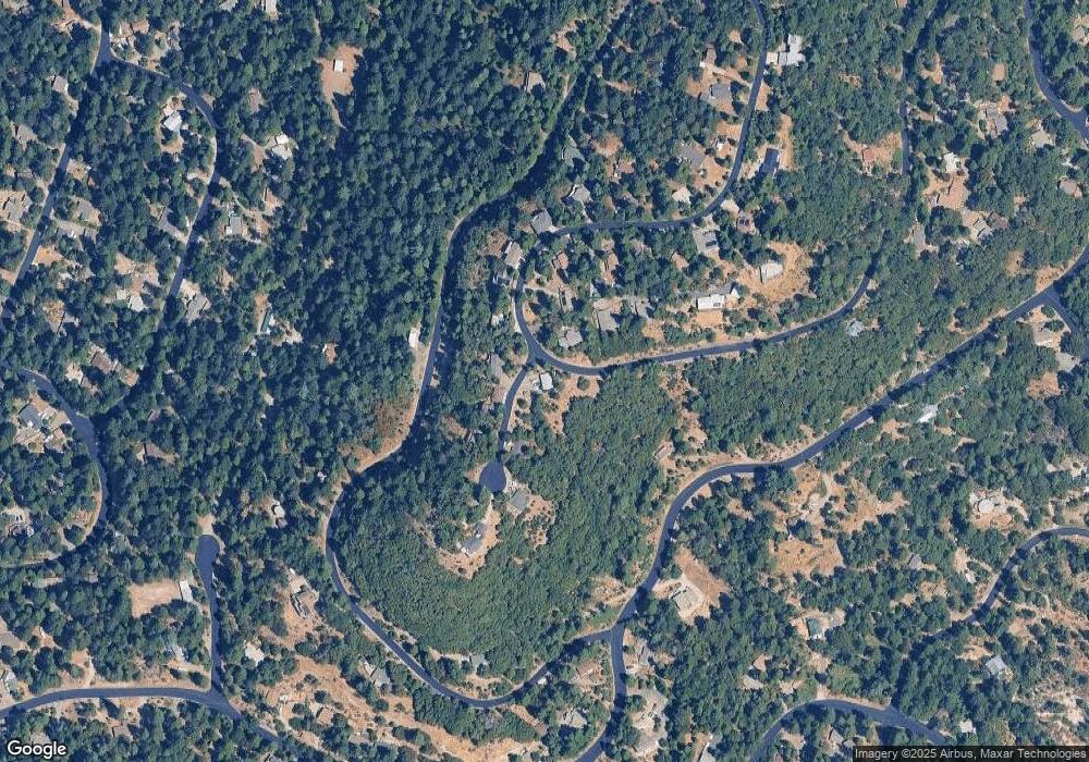
Map
Nearby Homes
- 13008 Summit Ridge Dr
- 16228 Gold Bug Rd
- 16196 Gold Bug Rd
- 12864 Spanish Ln
- 12834 Spanish Ln
- 16448 Pasquale Rd
- 12789 Sailor Flat Rd
- 16779 Pasquale Rd
- 16844 Pasquale Rd
- 0 Tay Ln
- 16914 Pasquale Rd
- 16878 Pasquale Rd
- 14647 Banner Quaker Hill Rd
- 23324 Banner Quaker Hill Rd
- 11610 Victorian Ct
- 14757 Sanctum Place
- 14344 Banner Quaker Hill Rd
- 14915 Lolas Echo Rd
- 10973 Scotts Flat Dam Rd
- 21678 Scotts Flat Rd
- 13283 Little York Close
- 13089 Summit Ridge Dr
- 12872 Summit Ridge Dr
- 13250 Little York Close
- 13280 Little York Close
- 13304 Little York Close
- 13319 Little York Close
- 16612 Banner Quaker Hill Rd
- 12734 Summit Ridge Dr
- 12672 Summit Ridge Dr
- 12704 Summit Ridge Dr
- 12724 Summit Ridge Dr
- 12661 Summit Ridge Dr
- 16562 Banner Quaker Hill Rd
- 13176 Summit Ridge Dr
- 13330 Little York Close
- 13331 Little York Close