1259 Shaw Rd SW Adairsville, GA 30103
Estimated Value: $407,000 - $541,806
3
Beds
2
Baths
2,880
Sq Ft
$165/Sq Ft
Est. Value
About This Home
This home is located at 1259 Shaw Rd SW, Adairsville, GA 30103 and is currently estimated at $474,403, approximately $164 per square foot. 1259 Shaw Rd SW is a home located in Gordon County with nearby schools including Swain Elementary School, Ashworth Middle School, and Gordon Central High School.
Ownership History
Date
Name
Owned For
Owner Type
Purchase Details
Closed on
Jan 10, 2006
Sold by
Brown Larry W
Bought by
Brown Joseph T and Brown Laura
Current Estimated Value
Purchase Details
Closed on
Apr 21, 2000
Sold by
Scott Wilburn C and Scott Clara B
Bought by
Brown Larry W and Brown Kathy S
Purchase Details
Closed on
Apr 14, 1975
Bought by
Brown Larry W and Brown Kathy S
Create a Home Valuation Report for This Property
The Home Valuation Report is an in-depth analysis detailing your home's value as well as a comparison with similar homes in the area
Home Values in the Area
Average Home Value in this Area
Purchase History
| Date | Buyer | Sale Price | Title Company |
|---|---|---|---|
| Brown Joseph T | -- | -- | |
| Brown Walter D | -- | -- | |
| Brown Larry W | -- | -- | |
| Brown Larry W | -- | -- |
Source: Public Records
Tax History Compared to Growth
Tax History
| Year | Tax Paid | Tax Assessment Tax Assessment Total Assessment is a certain percentage of the fair market value that is determined by local assessors to be the total taxable value of land and additions on the property. | Land | Improvement |
|---|---|---|---|---|
| 2024 | $1,350 | $146,024 | $42,640 | $103,384 |
| 2023 | $1,177 | $139,632 | $42,640 | $96,992 |
| 2022 | $1,161 | $138,444 | $47,320 | $91,124 |
| 2021 | $852 | $123,032 | $47,320 | $75,712 |
| 2020 | $855 | $122,196 | $47,320 | $74,876 |
| 2019 | $917 | $128,684 | $47,320 | $81,364 |
| 2018 | $865 | $123,724 | $47,320 | $76,404 |
| 2017 | $844 | $120,204 | $47,320 | $72,884 |
| 2016 | $842 | $120,204 | $47,320 | $72,884 |
| 2015 | $820 | $119,203 | $48,280 | $70,924 |
| 2014 | $796 | $118,189 | $48,314 | $69,875 |
Source: Public Records
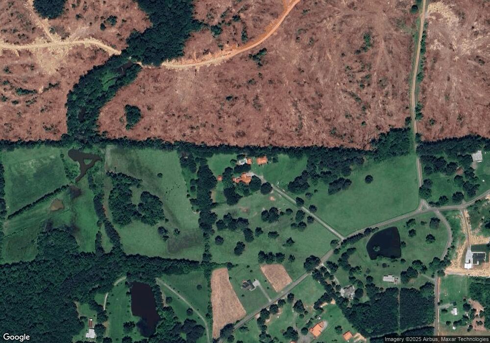
Map
Nearby Homes
- 2857 McDaniel Station Rd SW
- 0 Woody Rd NW Unit 10634615
- 180 Honeysuckle Vine Rd
- 3610 Rome Rd SW
- 154 Honeysuckle Dr SW
- 238 Lighthouse Cove SW
- 3293 Rome Rd SW
- 365 Riverboat Dr
- 178 Harbor Trail
- 221 Hardin Rd SW
- 269 Riverboat Dr
- Woodridge Plan at The Landing at Miller’s Ferry
- Kensington Plan at The Landing at Miller’s Ferry
- Northwyck Plan at The Landing at Miller’s Ferry
- Richmond Plan at The Landing at Miller’s Ferry
- Brookhaven Plan at The Landing at Miller’s Ferry
- Newport I Plan at The Landing at Miller’s Ferry
- Wesley Plan at The Landing at Miller’s Ferry
- Newport II Plan at The Landing at Miller’s Ferry
- Richardson Plan at The Landing at Miller’s Ferry
- 1273 Shaw Rd SW
- 1260 Shaw Rd SW
- 141 Seabolt Rd SW
- 1342 Shaw Rd SW
- 1458 Shaw Rd SW
- 1155 Shaw Rd SW
- 1391 Shaw Rd SW
- 239 Seabolt Rd SW
- 1388 Shaw Rd SW
- 277 Seabolt Rd SW
- 281 Seabolt Rd SW
- 3305 McDaniel Station Rd SW Unit B
- 3305 McDaniel Station Rd SW Unit A
- 752 Brownlee Mountain Rd SW
- 311 Seabolt Rd SW
- 1394 Shaw Rd SW
- 1394 Shaw Rd SW
- 1394 Shaw Rd SW
- 1394 Shaw Rd SW
- 1445 Shaw Rd SW