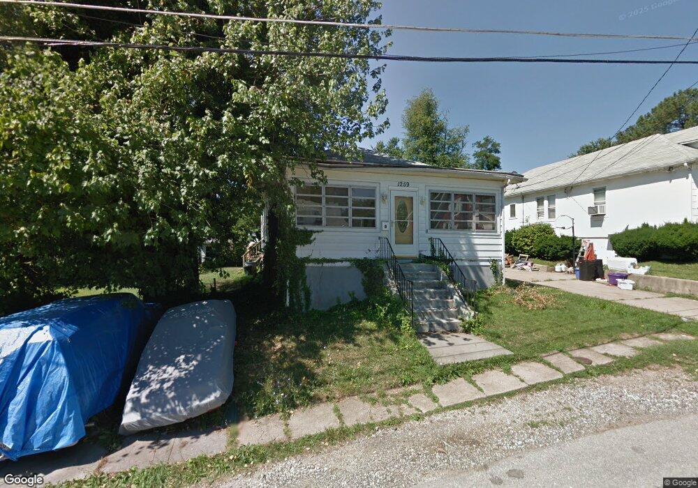
1259 Vogt Ave Unit A Halethorpe, MD 21227
Estimated Value: $296,000 - $365,000
2
Beds
2
Baths
520
Sq Ft
$642/Sq Ft
Est. Value
About This Home
This home is located at 1259 Vogt Ave Unit A, Halethorpe, MD 21227 and is currently estimated at $333,726, approximately $641 per square foot. 1259 Vogt Ave Unit A is a home located in Baltimore County with nearby schools including Arbutus Elementary School, Arbutus Middle School, and Lansdowne High School.
Ownership History
Date
Name
Owned For
Owner Type
Purchase Details
Closed on
Oct 19, 2018
Sold by
Mason Michele Waltrae Lattimore
Bought by
Sober Glenn and Bai Li
Current Estimated Value
Purchase Details
Closed on
Apr 17, 2002
Sold by
Secretary Of The Us Dept
Bought by
Mason Michele Waltrae Lattimore
Purchase Details
Closed on
Sep 26, 2001
Sold by
Anderson Gilbert M
Bought by
Secretary Of The Us Dept and Of Housing & Urban Development
Purchase Details
Closed on
Aug 12, 1993
Sold by
Hickman Grace M
Bought by
Anderson Gilbert M
Create a Home Valuation Report for This Property
The Home Valuation Report is an in-depth analysis detailing your home's value as well as a comparison with similar homes in the area
Home Values in the Area
Average Home Value in this Area
Purchase History
| Date | Buyer | Sale Price | Title Company |
|---|---|---|---|
| Sober Glenn | $180,000 | Fidleity Natl Title Ins Co | |
| Mason Michele Waltrae Lattimore | $116,000 | -- | |
| Secretary Of The Us Dept | $82,952 | -- | |
| Anderson Gilbert M | $82,000 | -- |
Source: Public Records
Tax History Compared to Growth
Tax History
| Year | Tax Paid | Tax Assessment Tax Assessment Total Assessment is a certain percentage of the fair market value that is determined by local assessors to be the total taxable value of land and additions on the property. | Land | Improvement |
|---|---|---|---|---|
| 2025 | $4,428 | $212,167 | -- | -- |
| 2024 | $4,428 | $197,700 | $77,600 | $120,100 |
| 2023 | $3,044 | $189,867 | $0 | $0 |
| 2022 | $3,160 | $182,033 | $0 | $0 |
| 2021 | $2,073 | $174,200 | $58,800 | $115,400 |
| 2020 | $2,643 | $171,067 | $0 | $0 |
| 2019 | $2,035 | $167,933 | $0 | $0 |
| 2018 | $2,486 | $164,800 | $58,800 | $106,000 |
| 2017 | $2,299 | $162,467 | $0 | $0 |
| 2016 | -- | $160,133 | $0 | $0 |
| 2015 | $1,920 | $157,800 | $0 | $0 |
| 2014 | $1,920 | $157,800 | $0 | $0 |
Source: Public Records
Map
Nearby Homes
- 1242 Vogt Ave
- 1263 Birch Ave
- 5502 Osage Ave
- 1312 Poplar Ave
- 1309 Linden Ave
- 1201 Poplar Ave
- 1326 Stevens Ave
- 1328 Maple Ave
- 1209 Locust Ave
- 5523 Council St
- 1224 Circle Dr
- 1416 Sulphur Spring Rd
- 5522 Ashbourne Rd
- 5530 Willys Ave
- 5536 Gayland Rd
- 5207 Arbutus Ave
- 1200 Oakland Terrace Rd
- 5215 Benson Ave
- 1029 Regina Dr
- 5605 Oregon Ave
- 1259 Vogt Ave
- 1259 Vogt Ave Unit B
- 1257 Vogt Ave
- 1265 Vogt Ave
- 1265 Vogt Ave Unit B
- 1265 Vogt Ave Unit A
- 1254 Poplar Ave
- 1252 Poplar Ave
- 1258 Poplar Ave
- 1242 Poplar Ave
- 1267 Vogt Ave
- 1250 Poplar Ave
- 1255 Vogt Ave
- 1256 Vogt Ave
- 1258 Vogt Ave
- 1260 Poplar Ave
- 1254 Vogt Ave
- 1260 Vogt Ave
- 1262 Poplar Ave
- 1248 Poplar Ave