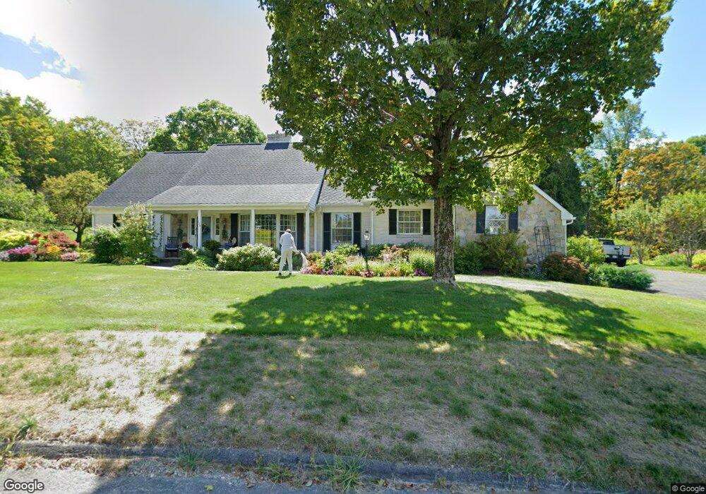
126 Barton Hill Rd Dalton, MA 01226
Estimated Value: $535,000 - $656,000
4
Beds
3
Baths
3,127
Sq Ft
$182/Sq Ft
Est. Value
About This Home
This home is located at 126 Barton Hill Rd, Dalton, MA 01226 and is currently estimated at $569,344, approximately $182 per square foot. 126 Barton Hill Rd is a home located in Berkshire County with nearby schools including Wahconah Regional High School and St. Agnes Academy.
Ownership History
Date
Name
Owned For
Owner Type
Purchase Details
Closed on
Mar 2, 2001
Sold by
Thiele Peter and Thiele Cornelia
Bought by
Twomey Christine D and Twomey Wayne A
Current Estimated Value
Home Financials for this Owner
Home Financials are based on the most recent Mortgage that was taken out on this home.
Original Mortgage
$180,000
Outstanding Balance
$65,445
Interest Rate
7%
Mortgage Type
Purchase Money Mortgage
Estimated Equity
$503,899
Purchase Details
Closed on
Aug 31, 1992
Sold by
Rodhouse Paul F and Rodhouse Gloria D
Bought by
Thiele Peter and Thiele Cornelia
Purchase Details
Closed on
Mar 31, 1989
Sold by
Pilcher J P
Bought by
Rodhouse Paul F
Create a Home Valuation Report for This Property
The Home Valuation Report is an in-depth analysis detailing your home's value as well as a comparison with similar homes in the area
Home Values in the Area
Average Home Value in this Area
Purchase History
| Date | Buyer | Sale Price | Title Company |
|---|---|---|---|
| Twomey Christine D | $255,000 | -- | |
| Thiele Peter | $257,000 | -- | |
| Rodhouse Paul F | $265,000 | -- |
Source: Public Records
Mortgage History
| Date | Status | Borrower | Loan Amount |
|---|---|---|---|
| Open | Rodhouse Paul F | $40,000 | |
| Open | Rodhouse Paul F | $180,000 | |
| Previous Owner | Rodhouse Paul F | $150,000 |
Source: Public Records
Tax History Compared to Growth
Tax History
| Year | Tax Paid | Tax Assessment Tax Assessment Total Assessment is a certain percentage of the fair market value that is determined by local assessors to be the total taxable value of land and additions on the property. | Land | Improvement |
|---|---|---|---|---|
| 2025 | $9,168 | $505,700 | $90,000 | $415,700 |
| 2024 | $8,598 | $472,400 | $84,000 | $388,400 |
| 2023 | $8,271 | $429,900 | $76,500 | $353,400 |
| 2022 | $7,755 | $373,900 | $76,500 | $297,400 |
| 2021 | $7,823 | $363,700 | $71,700 | $292,000 |
| 2020 | $7,077 | $348,800 | $71,700 | $277,100 |
| 2019 | $6,960 | $357,300 | $71,000 | $286,300 |
| 2018 | $6,895 | $346,300 | $71,000 | $275,300 |
| 2017 | $6,881 | $346,300 | $71,000 | $275,300 |
| 2016 | $6,798 | $346,300 | $71,000 | $275,300 |
| 2015 | $6,680 | $343,100 | $71,000 | $272,100 |
Source: Public Records
Map
Nearby Homes
- 108 Barton Hill Rd
- 150 Barton Hill Rd
- 103 Barton Hill Rd
- 112 Kimberly Dr
- 90 Barton Hill Rd
- 90 Kimberly Dr
- 93 Barton Hill Rd
- 78 Barton Hill Rd
- 78 Kimberly Dr
- 170 Barton Hill Rd
- 319 Grange Hall Rd
- 81 Barton Hill Rd
- 66 Kimberly Dr
- 115 Kimberly Dr
- 343 Grange Hall Rd
- 101 Kimberly Dr
- 60 Barton Hill Rd
- 89 Kimberly Dr
- 255 Grange Hall Rd
- 54 Kimberly Dr