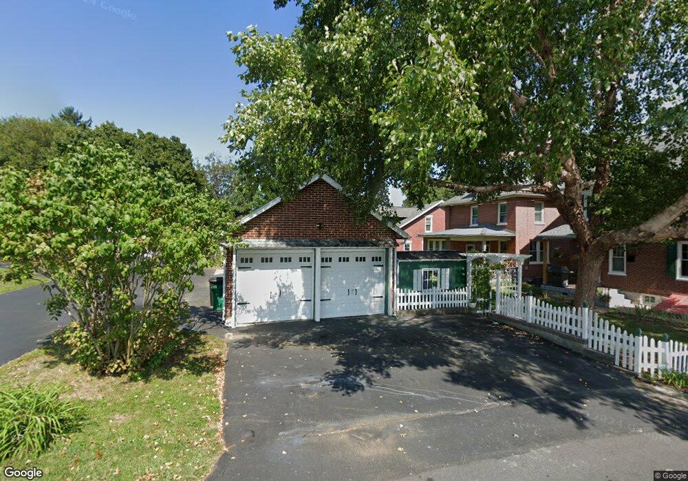
126 Charles Rd Lancaster, PA 17603
Bausman NeighborhoodEstimated Value: $435,755 - $497,000
4
Beds
2
Baths
2,386
Sq Ft
$201/Sq Ft
Est. Value
About This Home
This home is located at 126 Charles Rd, Lancaster, PA 17603 and is currently estimated at $478,939, approximately $200 per square foot. 126 Charles Rd is a home located in Lancaster County with nearby schools including Hamilton Elementary School, Wheatland Middle School, and McCaskey High School.
Ownership History
Date
Name
Owned For
Owner Type
Purchase Details
Closed on
Jan 2, 2006
Sold by
Mckinsey Larry J and Mckinsey Katherine A
Bought by
Gallo Vincent L and Gallo Karen
Current Estimated Value
Home Financials for this Owner
Home Financials are based on the most recent Mortgage that was taken out on this home.
Original Mortgage
$252,000
Interest Rate
6.24%
Mortgage Type
Purchase Money Mortgage
Create a Home Valuation Report for This Property
The Home Valuation Report is an in-depth analysis detailing your home's value as well as a comparison with similar homes in the area
Home Values in the Area
Average Home Value in this Area
Purchase History
| Date | Buyer | Sale Price | Title Company |
|---|---|---|---|
| Gallo Vincent L | $315,000 | None Available |
Source: Public Records
Mortgage History
| Date | Status | Borrower | Loan Amount |
|---|---|---|---|
| Previous Owner | Gallo Vincent L | $252,000 |
Source: Public Records
Tax History
| Year | Tax Paid | Tax Assessment Tax Assessment Total Assessment is a certain percentage of the fair market value that is determined by local assessors to be the total taxable value of land and additions on the property. | Land | Improvement |
|---|---|---|---|---|
| 2025 | $6,555 | $227,300 | $48,800 | $178,500 |
| 2024 | $6,555 | $227,300 | $48,800 | $178,500 |
| 2023 | $6,404 | $227,300 | $48,800 | $178,500 |
| 2022 | $6,022 | $227,300 | $48,800 | $178,500 |
| 2021 | $5,840 | $227,300 | $48,800 | $178,500 |
| 2020 | $5,840 | $227,300 | $48,800 | $178,500 |
| 2019 | $5,716 | $227,300 | $48,800 | $178,500 |
| 2018 | $4,411 | $227,300 | $48,800 | $178,500 |
| 2017 | $4,515 | $138,100 | $31,200 | $106,900 |
| 2016 | $4,432 | $138,100 | $31,200 | $106,900 |
| 2015 | $599 | $138,100 | $31,200 | $106,900 |
| 2014 | $3,257 | $138,100 | $31,200 | $106,900 |
Source: Public Records
Map
Nearby Homes
- 0 Charlestown Rd Unit PALA2058994
- 8 Fairview Ave
- 1520 Millersville Pike
- 218 Hershey Ave
- 108 S Pearl St
- 639 S West End Ave
- 65 Wise Ave
- 449 Hershey Ave
- 720 5th St
- 850 Prangley Ave
- 80 School House Rd
- 821 Prangley Ave
- 44 Fairview Ave
- 109 Fairview Ave
- 224 Fairview Ave
- 518 Big Bend Rd
- 749 Manor St
- 839 George St
- 647 4th St
- 743 Saint Joseph St
- 120 Charles Rd
- 132 Charles Rd
- 136 Charles Rd
- 107 Rosedale Ave
- 116 Charles Rd
- 142 Charles Rd
- 135 Roselle Ave
- 129 Roselle Ave
- 137 Roselle Ave
- 108 Charles Rd
- 121 Roselle Ave
- 107 Charles Rd
- 102 Charles Rd
- 111 Roselle Ave
- 111 Roselle Ave
- 101 Charles Rd
- 136 Roselle Ave
- 132 Roselle Ave
- 109 Roselle Ave
- 140 Roselle Ave
Your Personal Tour Guide
Ask me questions while you tour the home.