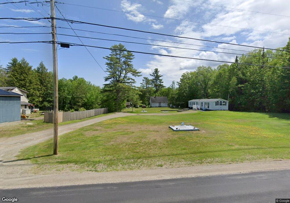
126 Marsh Rd Belfast, ME 04915
Estimated Value: $320,000 - $372,000
3
Beds
1
Bath
1,604
Sq Ft
$214/Sq Ft
Est. Value
About This Home
This home is located at 126 Marsh Rd, Belfast, ME 04915 and is currently estimated at $343,294, approximately $214 per square foot. 126 Marsh Rd is a home located in Waldo County with nearby schools including Cornerspring Children's House and The School At Sweetser - Belfast.
Ownership History
Date
Name
Owned For
Owner Type
Purchase Details
Closed on
Aug 16, 2024
Sold by
Boguen Stephen M Est and Munson
Bought by
Munson Amanda E
Current Estimated Value
Purchase Details
Closed on
Jul 31, 2009
Sold by
Cynewski Donald J
Bought by
Munson Patrick T and Munson Amanda E
Home Financials for this Owner
Home Financials are based on the most recent Mortgage that was taken out on this home.
Original Mortgage
$156,000
Interest Rate
5.43%
Mortgage Type
Commercial
Create a Home Valuation Report for This Property
The Home Valuation Report is an in-depth analysis detailing your home's value as well as a comparison with similar homes in the area
Home Values in the Area
Average Home Value in this Area
Purchase History
We collect this data history from publicly available records. To have your information removed, we recommend requesting removal directly through your county’s website.
| Date | Buyer | Sale Price | Title Company |
|---|---|---|---|
| Munson Amanda E | -- | None Available | |
| Munson Amanda E | -- | None Available | |
| Munson Patrick T | -- | -- | |
| Munson Patrick T | -- | -- | |
| Munson Patrick T | -- | -- |
Source: Public Records
Mortgage History
We collect this data history from publicly available records. To have your information removed, we recommend requesting removal directly through your county’s website.
| Date | Status | Borrower | Loan Amount |
|---|---|---|---|
| Previous Owner | Munson Patrick T | $156,000 |
Source: Public Records
Tax History
| Year | Tax Paid | Tax Assessment Tax Assessment Total Assessment is a certain percentage of the fair market value that is determined by local assessors to be the total taxable value of land and additions on the property. | Land | Improvement |
|---|---|---|---|---|
| 2025 | $4,456 | $272,700 | $60,800 | $211,900 |
| 2024 | $4,187 | $271,900 | $60,800 | $211,100 |
| 2023 | $3,152 | $156,800 | $40,400 | $116,400 |
| 2022 | $2,729 | $127,500 | $40,400 | $87,100 |
| 2021 | $2,805 | $127,500 | $40,400 | $87,100 |
| 2020 | $2,756 | $118,300 | $40,400 | $77,900 |
| 2019 | $2,549 | $111,300 | $30,400 | $80,900 |
| 2018 | $2,527 | $111,300 | $30,400 | $80,900 |
| 2017 | $2,437 | $111,300 | $30,400 | $80,900 |
| 2016 | $2,546 | $111,200 | $30,300 | $80,900 |
| 2015 | $2,491 | $111,200 | $30,300 | $80,900 |
| 2014 | $2,407 | $111,200 | $30,300 | $80,900 |
| 2013 | $2,313 | $111,200 | $30,300 | $80,900 |
Source: Public Records
Map
Nearby Homes
- 83 Marsh Rd
- 20 Springbrook Dr Unit TH-6
- 55 Londonderry Ln
- 99 Waterville Rd
- 81 Belmont Ave
- 60 Doak Rd
- 100 Belmont Ave Unit 2
- 1 Waterville Rd
- 3 Waterville Rd
- 000 Merriam Rd
- 190 Waldo Ave
- 162 Waldo Ave
- 120 Shepard Rd
- 128 Shepard Rd
- 347 High St
- 050-C-1 W Waldo Rd
- 4 Kaler Rd
- 53 Lincolnville Ave
- 7 John St
- 0 Robbins Rd Unit 1634953
Your Personal Tour Guide
Ask me questions while you tour the home.