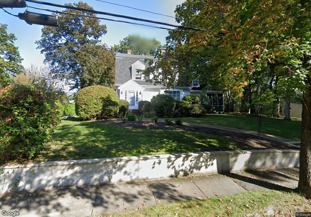
126 Moffat Rd Waban, MA 02468
Waban NeighborhoodEstimated Value: $1,903,000 - $2,189,000
4
Beds
3
Baths
2,324
Sq Ft
$867/Sq Ft
Est. Value
About This Home
This home is located at 126 Moffat Rd, Waban, MA 02468 and is currently estimated at $2,014,744, approximately $866 per square foot. 126 Moffat Rd is a home located in Middlesex County with nearby schools including Angier Elementary School, Charles E Brown Middle School, and Newton South High School.
Ownership History
Date
Name
Owned For
Owner Type
Purchase Details
Closed on
May 19, 2025
Sold by
Whitehorn Carol H Est and Whitehorn
Bought by
Carol Whitehorn Ret and Whitehorn
Current Estimated Value
Purchase Details
Closed on
Aug 11, 2004
Sold by
Whitehorn Carol H and Whitehorn Joseph A
Bought by
Whitehorn Carol H
Create a Home Valuation Report for This Property
The Home Valuation Report is an in-depth analysis detailing your home's value as well as a comparison with similar homes in the area
Home Values in the Area
Average Home Value in this Area
Purchase History
| Date | Buyer | Sale Price | Title Company |
|---|---|---|---|
| Carol Whitehorn Ret | -- | None Available | |
| Carol Whitehorn Ret | -- | None Available | |
| Whitehorn Carol H | -- | -- | |
| Whitehorn Carol H | -- | -- |
Source: Public Records
Tax History Compared to Growth
Tax History
| Year | Tax Paid | Tax Assessment Tax Assessment Total Assessment is a certain percentage of the fair market value that is determined by local assessors to be the total taxable value of land and additions on the property. | Land | Improvement |
|---|---|---|---|---|
| 2025 | $15,988 | $1,631,400 | $1,301,400 | $330,000 |
| 2024 | $15,459 | $1,583,900 | $1,263,500 | $320,400 |
| 2023 | $14,673 | $1,441,400 | $986,700 | $454,700 |
| 2022 | $14,040 | $1,334,600 | $913,600 | $421,000 |
| 2021 | $13,548 | $1,259,100 | $861,900 | $397,200 |
| 2020 | $13,145 | $1,259,100 | $861,900 | $397,200 |
| 2019 | $12,774 | $1,222,400 | $836,800 | $385,600 |
| 2018 | $12,287 | $1,135,600 | $753,800 | $381,800 |
| 2017 | $11,913 | $1,071,300 | $711,100 | $360,200 |
| 2016 | $11,394 | $1,001,200 | $664,600 | $336,600 |
| 2015 | $10,863 | $935,700 | $621,100 | $314,600 |
Source: Public Records
Map
Nearby Homes
- 115 Windsor Rd
- 29 Montclair Rd
- 20 Kinmonth Rd Unit 203
- 20 Kinmonth Rd Unit 306
- 1430 Beacon St
- 80 Pine Ridge Rd
- 25 Allen Ave
- 18 Annawan Rd
- 1801 Beacon St
- 10 Ruane Rd
- 33 Metacomet Rd
- 1640 Commonwealth Ave
- 308 Prince St
- 34 Pilgrim Rd
- 10 Lorraine Cir
- 39 Valentine Park
- 1754 Washington St
- 40 Sewall St
- 131 Oliver Rd
- 120 Stanley Rd