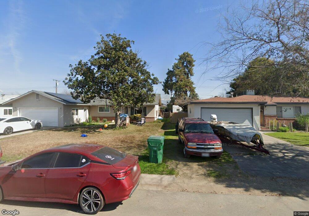
126 N Beverly St Porterville, CA 93257
Porterville Northwest NeighborhoodEstimated Value: $248,955 - $316,000
--
Bed
--
Bath
1,184
Sq Ft
$237/Sq Ft
Est. Value
About This Home
This home is located at 126 N Beverly St, Porterville, CA 93257 and is currently estimated at $280,739, approximately $237 per square foot. 126 N Beverly St is a home located in Tulare County with nearby schools including West Putnam Elementary School, Sequoia Middle School, and Monache High School.
Ownership History
Date
Name
Owned For
Owner Type
Purchase Details
Closed on
Jan 24, 1995
Sold by
Tucker Tracy Paul
Bought by
Fernandez J Refugio and Fernandez Lilia
Current Estimated Value
Home Financials for this Owner
Home Financials are based on the most recent Mortgage that was taken out on this home.
Original Mortgage
$77,710
Interest Rate
9.23%
Mortgage Type
FHA
Create a Home Valuation Report for This Property
The Home Valuation Report is an in-depth analysis detailing your home's value as well as a comparison with similar homes in the area
Home Values in the Area
Average Home Value in this Area
Purchase History
| Date | Buyer | Sale Price | Title Company |
|---|---|---|---|
| Fernandez J Refugio | $78,000 | First American Title Ins Co |
Source: Public Records
Mortgage History
| Date | Status | Borrower | Loan Amount |
|---|---|---|---|
| Closed | Fernandez J Refugio | $77,710 |
Source: Public Records
Tax History Compared to Growth
Tax History
| Year | Tax Paid | Tax Assessment Tax Assessment Total Assessment is a certain percentage of the fair market value that is determined by local assessors to be the total taxable value of land and additions on the property. | Land | Improvement |
|---|---|---|---|---|
| 2025 | $1,500 | $131,021 | $41,998 | $89,023 |
| 2024 | $1,500 | $128,453 | $41,175 | $87,278 |
| 2023 | $1,497 | $125,935 | $40,368 | $85,567 |
| 2022 | $1,455 | $123,467 | $39,577 | $83,890 |
| 2021 | $1,439 | $121,046 | $38,801 | $82,245 |
| 2020 | $1,425 | $119,805 | $38,403 | $81,402 |
| 2019 | $1,401 | $117,456 | $37,650 | $79,806 |
| 2018 | $1,378 | $115,153 | $36,912 | $78,241 |
| 2017 | $1,347 | $112,895 | $36,188 | $76,707 |
| 2016 | $1,298 | $110,681 | $35,478 | $75,203 |
| 2015 | $1,253 | $109,018 | $34,945 | $74,073 |
| 2014 | $1,253 | $106,882 | $34,260 | $72,622 |
Source: Public Records
Map
Nearby Homes
- 1262 Tomah Ave
- 66 S Beverly St
- 1343 W Morton Ave Unit Sp 84
- 53 N Prospect St
- 1140 Tomah Ave
- 1147 W Putnam Ave
- 1137 W Putnam Ave
- 360 N Capitola Ct Unit 4
- 0 W Morton Unit 234694
- 1771 W Aurora Ct
- 474 Douglas St
- 1066 W Forest Ave
- 1127 W Orange Ave
- 1087 W Belleview Ave
- 63 N Wisconsin St
- 1060 W Belleview Ave
- 595 N Salisbury St
- 1730 W Grand Ave
- 640 N Prospect St
- 1922 W River Ave
- 134 N Beverly St
- 114 N Beverly St
- 148 N Beverly St
- 1410 Tomah Ave
- 1388 Tomah Ave
- 125 N Beverly St
- 156 N Beverly St
- 137 N Beverly St
- 113 N Beverly St
- 153 Mankins Cir
- 147 N Beverly St
- 107 N Beverly St
- 166 N Beverly St
- 154 Mankins Cir
- 1421 Tomah Ave Unit A-C
- 1421 Tomah Ave
- 155 N Beverly St
- 167 Mankins Cir
- 14197 Road 168
- 165 N Beverly St