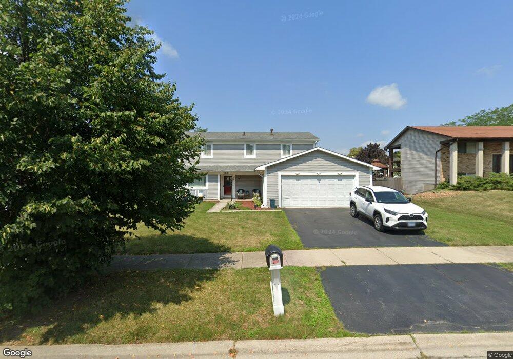
126 Pheasant Rd Matteson, IL 60443
West Matteson NeighborhoodEstimated Value: $278,266 - $301,000
4
Beds
5
Baths
2,008
Sq Ft
$142/Sq Ft
Est. Value
About This Home
This home is located at 126 Pheasant Rd, Matteson, IL 60443 and is currently estimated at $285,817, approximately $142 per square foot. 126 Pheasant Rd is a home located in Cook County with nearby schools including Colin Powell Middle School.
Ownership History
Date
Name
Owned For
Owner Type
Purchase Details
Closed on
May 7, 2004
Sold by
Hud
Bought by
Mccree Lashawn
Current Estimated Value
Home Financials for this Owner
Home Financials are based on the most recent Mortgage that was taken out on this home.
Original Mortgage
$129,900
Outstanding Balance
$78,555
Interest Rate
10.25%
Mortgage Type
Unknown
Estimated Equity
$207,262
Purchase Details
Closed on
Dec 5, 2001
Sold by
Robertson Natalie
Bought by
Hud
Purchase Details
Closed on
Jul 25, 1996
Sold by
Lindsey Melvin W and Lindsey Denise S
Bought by
Robertson Natalie
Home Financials for this Owner
Home Financials are based on the most recent Mortgage that was taken out on this home.
Original Mortgage
$112,100
Interest Rate
8.18%
Mortgage Type
FHA
Create a Home Valuation Report for This Property
The Home Valuation Report is an in-depth analysis detailing your home's value as well as a comparison with similar homes in the area
Home Values in the Area
Average Home Value in this Area
Purchase History
| Date | Buyer | Sale Price | Title Company |
|---|---|---|---|
| Mccree Lashawn | -- | Stewart Title Of Illinois | |
| Hud | -- | -- | |
| Robertson Natalie | $113,000 | Attorneys Natl Title Network |
Source: Public Records
Mortgage History
| Date | Status | Borrower | Loan Amount |
|---|---|---|---|
| Open | Mccree Lashawn | $129,900 | |
| Previous Owner | Robertson Natalie | $112,100 |
Source: Public Records
Tax History
| Year | Tax Paid | Tax Assessment Tax Assessment Total Assessment is a certain percentage of the fair market value that is determined by local assessors to be the total taxable value of land and additions on the property. | Land | Improvement |
|---|---|---|---|---|
| 2025 | $7,330 | $21,000 | $3,473 | $17,527 |
| 2024 | $7,330 | $21,000 | $3,473 | $17,527 |
| 2023 | $6,460 | $21,000 | $3,473 | $17,527 |
| 2022 | $6,460 | $15,488 | $3,039 | $12,449 |
| 2021 | $6,569 | $15,486 | $3,038 | $12,448 |
| 2020 | $6,467 | $15,486 | $3,038 | $12,448 |
| 2019 | $6,339 | $15,031 | $2,821 | $12,210 |
| 2018 | $6,243 | $15,031 | $2,821 | $12,210 |
| 2017 | $6,102 | $15,031 | $2,821 | $12,210 |
| 2016 | $5,413 | $12,957 | $2,604 | $10,353 |
| 2015 | $5,251 | $12,957 | $2,604 | $10,353 |
| 2014 | $5,136 | $12,957 | $2,604 | $10,353 |
| 2013 | $4,724 | $12,899 | $2,604 | $10,295 |
Source: Public Records
Map
Nearby Homes
- 56 Timberlane Rd
- 123 Oriole Rd
- 152 Oakhurst Rd
- 42 Pheasant Rd
- 25 Pheasant Rd
- 5911 Timberlane Rd
- 34 Wedgewood Rd
- 5943 Woodgate Dr
- 13 Oakview Rd
- 111 Deerpath Rd
- 156 Cloverleaf Rd
- 116 Cloverleaf Rd
- 5808 Allemong Dr
- 5804 Kathryn Ln
- 5838 Woodgate Dr
- 433 Wheatfield Rd
- 6226 Beechwood Rd
- 5742 Woodgate Dr
- 5628 Crestwood Rd
- 6021 Spring Ln
- 132 Pheasant Rd
- 118 Pheasant Rd
- 119 Timberlane Rd
- 127 Timberlane Rd Unit 4
- 125 Pheasant Rd
- 125 Pheasant Rd
- 131 Pheasant Rd
- 140 Pheasant Rd
- 110 Pheasant Rd
- 111 Timberlane Rd
- 117 Pheasant Rd
- 133 Timberlane Rd
- 109 Pheasant Rd
- 105 Timberlane Rd
- 148 Pheasant Rd
- 139 Pheasant Rd
- 57 Timberlane Rd
- 57 Timberlane Rd
- 147 Pheasant Rd
- 104 Pheasant Rd