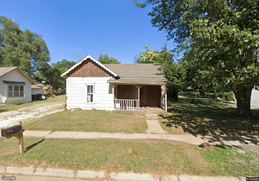
126 Poplar St El Dorado, KS 67042
Estimated Value: $81,000 - $110,000
1
Bed
1
Bath
832
Sq Ft
$115/Sq Ft
Est. Value
About This Home
This home is located at 126 Poplar St, El Dorado, KS 67042 and is currently estimated at $95,500, approximately $114 per square foot. 126 Poplar St is a home located in Butler County with nearby schools including El Dorado High School.
Ownership History
Date
Name
Owned For
Owner Type
Purchase Details
Closed on
Apr 2, 2024
Sold by
Peter Storandt and Peter Judith Storandt
Bought by
Peter Storandt And Judith Storandt Revocable
Current Estimated Value
Purchase Details
Closed on
Sep 15, 2023
Sold by
Storandt Peter and Storandt Judith
Bought by
Peter Storandt And Judith Storandt Revocable
Purchase Details
Closed on
Mar 11, 2021
Sold by
Drake Investments Llc
Bought by
Storandt Peter and Storandt Judith
Purchase Details
Closed on
May 2, 2017
Sold by
Robbins Kyle W and Robbins Alison M
Bought by
Drake Investments Llc
Create a Home Valuation Report for This Property
The Home Valuation Report is an in-depth analysis detailing your home's value as well as a comparison with similar homes in the area
Home Values in the Area
Average Home Value in this Area
Purchase History
| Date | Buyer | Sale Price | Title Company |
|---|---|---|---|
| Peter Storandt And Judith Storandt Revocable | -- | None Listed On Document | |
| Peter Storandt And Judith Storandt Revocable | -- | None Listed On Document | |
| Peter Storandt And Judith Storandt Revocable | -- | None Listed On Document | |
| Peter Storandt And Judith Storandt Revocable | -- | None Listed On Document | |
| Storandt Peter | -- | None Available | |
| Storandt P | -- | -- | |
| Drake Investments Llc | -- | None Available |
Source: Public Records
Tax History Compared to Growth
Tax History
| Year | Tax Paid | Tax Assessment Tax Assessment Total Assessment is a certain percentage of the fair market value that is determined by local assessors to be the total taxable value of land and additions on the property. | Land | Improvement |
|---|---|---|---|---|
| 2025 | $1 | $842 | $842 | $0 |
| 2024 | $1 | $734 | $734 | $0 |
| 2023 | $98 | $590 | $590 | $0 |
| 2022 | $488 | $590 | $590 | $0 |
| 2021 | $488 | $3,692 | $566 | $3,126 |
| 2020 | $526 | $3,071 | $566 | $2,505 |
| 2019 | $524 | $3,071 | $566 | $2,505 |
| 2018 | $565 | $3,301 | $566 | $2,735 |
| 2017 | $483 | $2,819 | $472 | $2,347 |
| 2014 | -- | $25,300 | $4,100 | $21,200 |
Source: Public Records
Map
Nearby Homes
- 208 S Orchard St
- 323 Race St
- 131 Residence St
- 111 S Summit St
- 1503 W Ash Ave
- 425 Race St
- 1406 Edgemoor St
- 116 N Arthur St
- 405 S Arthur St
- 505 S Emporia St
- 128 N Emporia St
- 424 N Arthur St
- 728 Audrey Dr
- 701 Sunset Ln
- 109 Eunice St
- 153 Eunice St
- 409 Houser Dr
- 510 N Alleghany St
- 503 N Summit St
- 800 W 2nd Ave