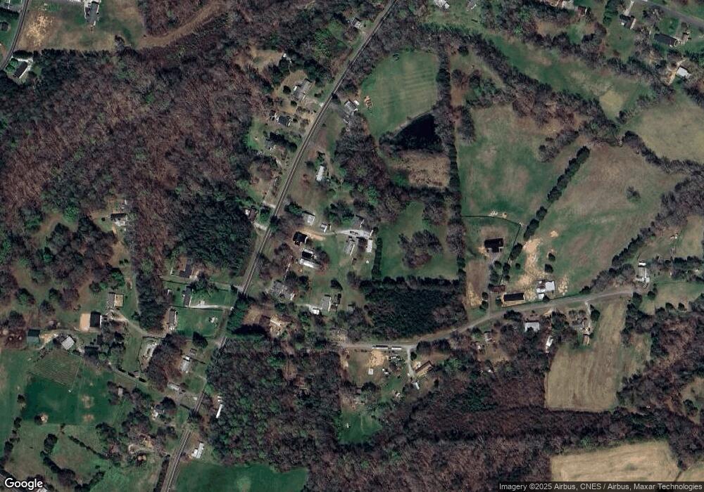
126 Redskin Way Mocksville, NC 27028
Estimated Value: $219,000 - $309,000
3
Beds
2
Baths
1,694
Sq Ft
$155/Sq Ft
Est. Value
About This Home
This home is located at 126 Redskin Way, Mocksville, NC 27028 and is currently estimated at $262,311, approximately $154 per square foot. 126 Redskin Way is a home located in Davie County with nearby schools including Mocksville Elementary School, South Davie Middle, and Davie County High School.
Ownership History
Date
Name
Owned For
Owner Type
Purchase Details
Closed on
Mar 13, 2006
Sold by
Moxley Penny and Hockaday Cathy
Bought by
Whitaker Douglas R and Whitaker Cynthia C
Current Estimated Value
Home Financials for this Owner
Home Financials are based on the most recent Mortgage that was taken out on this home.
Original Mortgage
$121,000
Outstanding Balance
$68,707
Interest Rate
6.25%
Mortgage Type
New Conventional
Estimated Equity
$193,604
Purchase Details
Closed on
Nov 1, 1991
Create a Home Valuation Report for This Property
The Home Valuation Report is an in-depth analysis detailing your home's value as well as a comparison with similar homes in the area
Home Values in the Area
Average Home Value in this Area
Purchase History
| Date | Buyer | Sale Price | Title Company |
|---|---|---|---|
| Whitaker Douglas R | -- | -- | |
| -- | $25,000 | -- |
Source: Public Records
Mortgage History
| Date | Status | Borrower | Loan Amount |
|---|---|---|---|
| Open | Whitaker Douglas R | $121,000 |
Source: Public Records
Tax History Compared to Growth
Tax History
| Year | Tax Paid | Tax Assessment Tax Assessment Total Assessment is a certain percentage of the fair market value that is determined by local assessors to be the total taxable value of land and additions on the property. | Land | Improvement |
|---|---|---|---|---|
| 2025 | $964 | $128,660 | $10,620 | $118,040 |
| 2024 | $910 | $111,490 | $9,170 | $102,320 |
| 2023 | $915 | $111,490 | $9,170 | $102,320 |
| 2022 | $910 | $111,490 | $9,170 | $102,320 |
| 2021 | $915 | $111,490 | $9,170 | $102,320 |
| 2020 | $890 | $107,610 | $9,170 | $98,440 |
| 2019 | $837 | $107,610 | $9,170 | $98,440 |
| 2018 | $837 | $107,610 | $9,170 | $98,440 |
| 2017 | $826 | $107,610 | $0 | $0 |
| 2016 | $857 | $111,590 | $0 | $0 |
| 2015 | $857 | $111,590 | $0 | $0 |
| 2014 | $737 | $111,590 | $0 | $0 |
| 2013 | -- | $111,590 | $0 | $0 |
Source: Public Records
Map
Nearby Homes
- 122 (Lot 2) Whittaker Rd
- 122 (Lot 3) Whittaker Rd
- 320 McClamrock Rd
- 178 Nellwood Ct
- 0 Angell Rd
- 117 Chandler Dr
- 0 Chandler Dr Unit 1195908
- 130 S Madera Dr
- 138 S Madera Dr
- 125 Drayton Ct
- 127 Arbor Hill Ave
- 222 Elm St
- 153 Canyon Rd
- 195 Canyon Rd
- 164 Dusty Hill Rd
- 00 Martin Luther King Junior Rd
- 0 Milling Rd
- 171 Lakeview Dr
- 138 Ivy Ln
- 334 Country Ln
- 129 Redskin Way
- 2192 Us Highway 158
- 2178 Us Highway 158
- 2164 Us Highway 158
- 2183 Us Highway 158
- 2193 Us Highway 158
- 2211 Us Highway 158
- 122 (Lot 1) Whittaker Rd
- 122 Whittaker Rd
- 2234 Us Highway 158
- 2219 Us Highway 158
- 122 Whitaker Rd
- 140 Whittaker Rd
- 2231 Us Highway 158
- 2161 U S 158
- 2161 Us Highway 158
- 2161 Us Highway 158
- 2155 Us Highway 158
- 190 Whittaker Rd
- 2153 Us Highway 158
