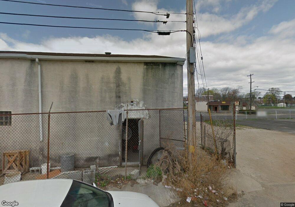
Estimated Value: $177,508 - $206,000
3
Beds
1
Bath
1,376
Sq Ft
$138/Sq Ft
Est. Value
About This Home
This home is located at 126 S Macdade Blvd, Darby, PA 19023 and is currently estimated at $189,877, approximately $137 per square foot. 126 S Macdade Blvd is a home located in Delaware County with nearby schools including Ardmore Avenue School, Penn Wood Middle School, and Penn Wood High School - Cypress Street Campus.
Ownership History
Date
Name
Owned For
Owner Type
Purchase Details
Closed on
May 18, 2015
Sold by
Rosini Mark A and Rosini Don T
Bought by
Rosini Mark A and Rosini Elizabeth K
Current Estimated Value
Purchase Details
Closed on
Oct 29, 2004
Sold by
Rosini Mark
Bought by
Rosini Mark A and Rosini Don T
Home Financials for this Owner
Home Financials are based on the most recent Mortgage that was taken out on this home.
Original Mortgage
$259,000
Outstanding Balance
$128,991
Interest Rate
5.75%
Mortgage Type
Purchase Money Mortgage
Estimated Equity
$60,886
Purchase Details
Closed on
Jan 24, 2003
Sold by
Union Planters Bank Na
Bought by
Hud
Purchase Details
Closed on
Jan 6, 2003
Sold by
Burns Frederick H and Burns Margaret B
Bought by
Leader Federal Bank For Savings
Purchase Details
Closed on
Aug 20, 1999
Sold by
Coghlan Vincent J and Bryn Mawr Trust Company
Bought by
First Baptist Church Of Darby
Create a Home Valuation Report for This Property
The Home Valuation Report is an in-depth analysis detailing your home's value as well as a comparison with similar homes in the area
Home Values in the Area
Average Home Value in this Area
Purchase History
| Date | Buyer | Sale Price | Title Company |
|---|---|---|---|
| Rosini Mark A | -- | None Available | |
| Rosini Mark A | -- | -- | |
| Hud | -- | -- | |
| Leader Federal Bank For Savings | -- | -- | |
| First Baptist Church Of Darby | $30,000 | -- |
Source: Public Records
Mortgage History
| Date | Status | Borrower | Loan Amount |
|---|---|---|---|
| Open | Rosini Mark A | $259,000 |
Source: Public Records
Tax History Compared to Growth
Tax History
| Year | Tax Paid | Tax Assessment Tax Assessment Total Assessment is a certain percentage of the fair market value that is determined by local assessors to be the total taxable value of land and additions on the property. | Land | Improvement |
|---|---|---|---|---|
| 2025 | $3,721 | $82,160 | $22,250 | $59,910 |
| 2024 | $3,721 | $82,160 | $22,250 | $59,910 |
| 2023 | $3,622 | $82,160 | $22,250 | $59,910 |
| 2022 | $3,485 | $82,160 | $22,250 | $59,910 |
| 2021 | $4,799 | $82,160 | $22,250 | $59,910 |
| 2020 | $2,211 | $34,780 | $16,070 | $18,710 |
| 2019 | $2,131 | $34,780 | $16,070 | $18,710 |
| 2018 | $2,084 | $34,780 | $0 | $0 |
| 2017 | $2,045 | $34,780 | $0 | $0 |
| 2016 | $191 | $34,780 | $0 | $0 |
| 2015 | $195 | $34,780 | $0 | $0 |
| 2014 | $195 | $34,780 | $0 | $0 |
Source: Public Records
Map
Nearby Homes
- 957 Springfield Rd
- 17 Florence Ave
- 1007 Tyler Ave
- 1008 Springfield Rd
- 1115 Chestnut St
- 221 Highland Ave
- 113 Hillside Ave
- 1017 Lawrence Ave
- 1143 Chestnut St
- 1044 Pine St
- 112 Pusey Ave
- 14 Winthrop Rd
- 1036 Pine St
- 834 842 Main St
- 932 Forrester Ave
- 307 Poplar St
- 2 Cherry St
- 707 Spruce St
- 236 Mill St
- 17 Kern St
- 134 S Macdade Blvd
- 132 S Macdade Blvd
- 130 S Macdade Blvd
- 128 S Macdade Blvd
- 124 S Macdade Blvd
- 122 S Macdade Blvd
- 111 S Macdade Blvd
- 198 Macdade Blvd
- 195 Macdade Blvd
- 25 S Macdade Blvd
- 935 Springfield Rd
- 937 Springfield Rd
- 941 Springfield Rd
- 943 Springfield Rd
- 939 Springfield Rd
- 945 Springfield Rd
- 955 Springfield Rd
- 949 Springfield Rd
- 951 Springfield Rd
- 100 Macdade Blvd
