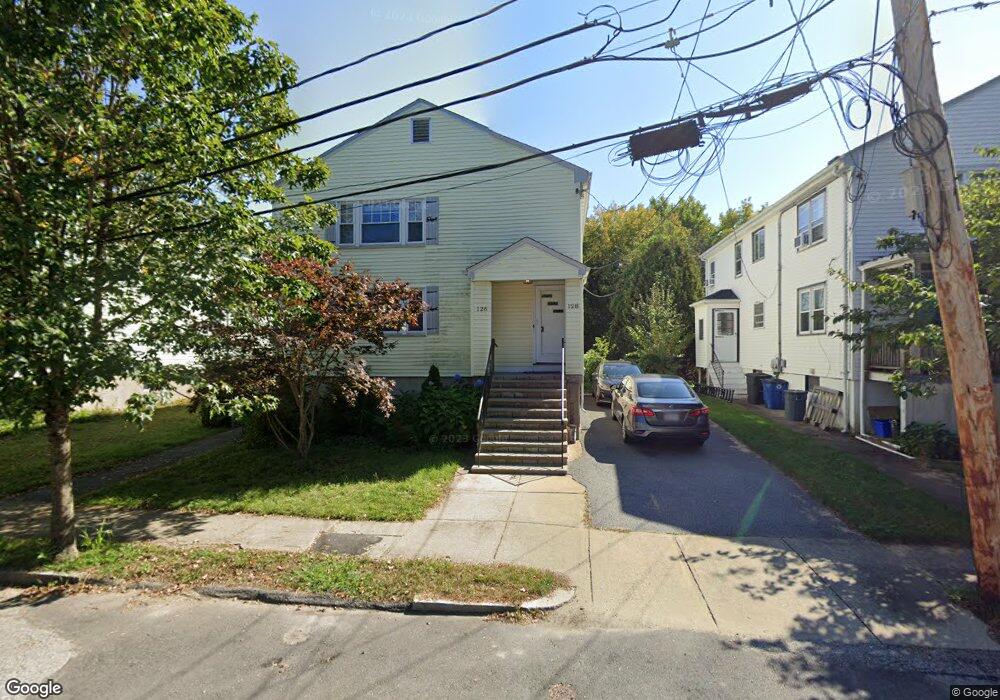
126 Varnum St Unit 128 Arlington, MA 02474
East Arlington NeighborhoodEstimated Value: $1,330,000 - $1,579,000
6
Beds
2
Baths
2,352
Sq Ft
$618/Sq Ft
Est. Value
About This Home
This home is located at 126 Varnum St Unit 128, Arlington, MA 02474 and is currently estimated at $1,454,668, approximately $618 per square foot. 126 Varnum St Unit 128 is a home located in Middlesex County with nearby schools including Hardy Elementary School, Ottoson Middle School, and Arlington High School.
Ownership History
Date
Name
Owned For
Owner Type
Purchase Details
Closed on
Mar 31, 2022
Sold by
Fresolo Helene F Est and Fresolo
Bought by
Guo Tracy X
Current Estimated Value
Home Financials for this Owner
Home Financials are based on the most recent Mortgage that was taken out on this home.
Original Mortgage
$960,000
Outstanding Balance
$895,340
Interest Rate
3.92%
Mortgage Type
Purchase Money Mortgage
Estimated Equity
$559,328
Create a Home Valuation Report for This Property
The Home Valuation Report is an in-depth analysis detailing your home's value as well as a comparison with similar homes in the area
Home Values in the Area
Average Home Value in this Area
Purchase History
| Date | Buyer | Sale Price | Title Company |
|---|---|---|---|
| Guo Tracy X | $1,200,000 | None Available |
Source: Public Records
Mortgage History
| Date | Status | Borrower | Loan Amount |
|---|---|---|---|
| Open | Guo Tracy X | $960,000 |
Source: Public Records
Tax History Compared to Growth
Tax History
| Year | Tax Paid | Tax Assessment Tax Assessment Total Assessment is a certain percentage of the fair market value that is determined by local assessors to be the total taxable value of land and additions on the property. | Land | Improvement |
|---|---|---|---|---|
| 2025 | $12,216 | $1,134,300 | $614,600 | $519,700 |
| 2024 | $11,307 | $1,067,700 | $585,100 | $482,600 |
| 2023 | $11,325 | $1,010,300 | $490,500 | $519,800 |
| 2022 | $11,282 | $987,900 | $472,800 | $515,100 |
| 2021 | $10,932 | $964,000 | $472,800 | $491,200 |
| 2020 | $10,662 | $964,000 | $472,800 | $491,200 |
| 2019 | $9,764 | $867,100 | $502,400 | $364,700 |
| 2018 | $5,716 | $731,100 | $366,400 | $364,700 |
| 2017 | $7,787 | $620,000 | $319,100 | $300,900 |
| 2016 | $7,332 | $572,800 | $271,900 | $300,900 |
| 2015 | $7,224 | $533,100 | $266,000 | $267,100 |
Source: Public Records
Map
Nearby Homes
- 137-139 Thorndike St Unit 2
- 128 Thorndike St Unit 2
- 3 Seagrave Rd
- 215 Massachusetts Ave Unit 19 (34)
- 230 Massachusetts Ave Unit 6
- 31 Mott St Unit 31A
- 22 Hamilton Rd Unit 206
- 23 Brookford St
- 23 Brookford St Unit 2
- 23 Brookford St Unit 1
- 34 Hamilton Rd Unit 302
- 112 Jackson St
- 19 Cottage Park Ave
- 18 Belknap St Unit 2
- 18 Belknap St Unit 1
- 127 Harvey St
- 127 Harvey St Unit 127
- 124 Jackson St
- 49 Clifton St
- 57 Garrison Ave
- 126-128 Varnum St
- 128 Varnum St
- 130 Varnum St Unit 2
- 130 Varnum St Unit 1
- 132 Varnum St Unit 2
- 130 Varnum St Unit 1 130
- 122 Varnum St Unit 124
- 113115 Varnum St
- 118 Varnum St Unit 120
- 114-116 Varnum St Unit 116
- 114 Varnum St Unit 116
- 114 Varnum St Unit 2
- 116 Varnum St
- 116 Varnum St Unit 116
- 114 Varnum St Unit 114
- 121 Varnum St Unit 123
- 117 Varnum St Unit 119
- 8 Brooks Ave Unit 10
- 110 Varnum St Unit 112
- 115 Varnum St Unit 115