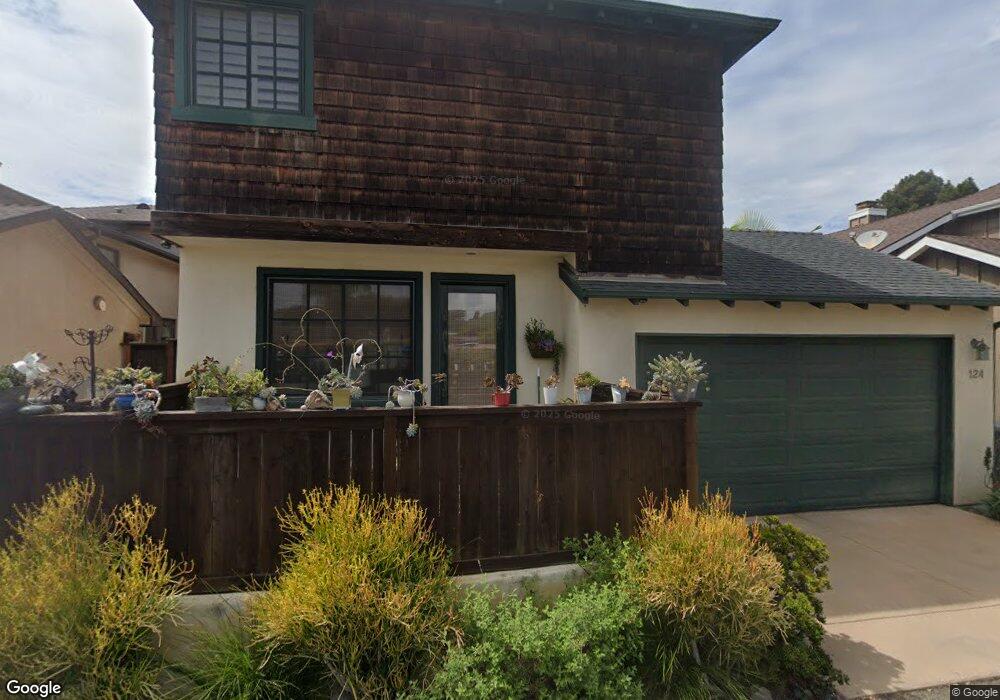
126 W Jason St Encinitas, CA 92024
Leucadia NeighborhoodEstimated Value: $2,412,000 - $2,535,823
3
Beds
3
Baths
2,276
Sq Ft
$1,080/Sq Ft
Est. Value
About This Home
This home is located at 126 W Jason St, Encinitas, CA 92024 and is currently estimated at $2,457,956, approximately $1,079 per square foot. 126 W Jason St is a home located in San Diego County with nearby schools including Paul Ecke-Central Elementary, Diegueno Middle School, and La Costa Canyon High School.
Ownership History
Date
Name
Owned For
Owner Type
Purchase Details
Closed on
Jun 4, 2015
Sold by
Gordon Karen G
Bought by
Gordon Karen G
Current Estimated Value
Purchase Details
Closed on
Oct 29, 2014
Sold by
Kay Rebecca and Black Ian
Bought by
Grodon Karen G
Home Financials for this Owner
Home Financials are based on the most recent Mortgage that was taken out on this home.
Original Mortgage
$882,000
Interest Rate
3.76%
Mortgage Type
New Conventional
Purchase Details
Closed on
Jul 27, 2005
Sold by
Sammis Clayton and Sammis Stephanie
Bought by
Black Ian and Kay Rebecca
Home Financials for this Owner
Home Financials are based on the most recent Mortgage that was taken out on this home.
Original Mortgage
$520,000
Interest Rate
6.27%
Mortgage Type
Fannie Mae Freddie Mac
Create a Home Valuation Report for This Property
The Home Valuation Report is an in-depth analysis detailing your home's value as well as a comparison with similar homes in the area
Home Values in the Area
Average Home Value in this Area
Purchase History
| Date | Buyer | Sale Price | Title Company |
|---|---|---|---|
| Gordon Karen G | -- | None Available | |
| Grodon Karen G | $1,260,000 | Fidelity National Title Co | |
| Black Ian | $1,210,000 | First American Title Company |
Source: Public Records
Mortgage History
| Date | Status | Borrower | Loan Amount |
|---|---|---|---|
| Previous Owner | Grodon Karen G | $882,000 | |
| Previous Owner | Black Ian | $520,000 |
Source: Public Records
Tax History
| Year | Tax Paid | Tax Assessment Tax Assessment Total Assessment is a certain percentage of the fair market value that is determined by local assessors to be the total taxable value of land and additions on the property. | Land | Improvement |
|---|---|---|---|---|
| 2025 | $16,297 | $1,514,322 | $1,141,754 | $372,568 |
| 2024 | $16,297 | $1,484,630 | $1,119,367 | $365,263 |
| 2023 | $15,878 | $1,455,520 | $1,097,419 | $358,101 |
| 2022 | $15,531 | $1,399,002 | $1,054,805 | $344,197 |
| 2021 | $15,304 | $1,399,002 | $1,054,805 | $344,197 |
| 2020 | $15,082 | $1,384,658 | $1,043,990 | $340,668 |
| 2019 | $14,776 | $1,357,509 | $1,023,520 | $333,989 |
| 2018 | $14,489 | $1,330,892 | $1,003,451 | $327,441 |
| 2017 | $14,233 | $1,304,797 | $983,776 | $321,021 |
| 2016 | $13,783 | $1,279,214 | $964,487 | $314,727 |
| 2015 | $12,025 | $1,120,000 | $833,000 | $287,000 |
| 2014 | -- | $1,120,000 | $833,000 | $287,000 |
Source: Public Records
Map
Nearby Homes
- 162 Jupiter St
- 1524 N Coast Highway 101
- 170 Diana St
- 149 W Glaucus St Unit D
- 265 Sanford St
- 1549 N Vulcan Ave Unit 3
- 1549 N Vulcan Ave Unit 36
- 159 Diana St Unit 6
- 159 Diana St Unit 4
- 251 E Glaucus St
- 1624 N Coast Highway 101 Unit 2
- 1624 N Coast Highway 101 Unit 45
- 1624 N Coast Highway 101 Unit 6
- 1624 N Coast Hwy 101 Unit 3
- 273 Hillcrest Dr
- 123 Jasper St
- 123 Jasper St Unit spc 35
- 123 Jasper St Unit 16
- 1715 Kennington Rd
- 1680 N Coast Highway 101 Unit 30
- 124 W Jason St
- 120 W Jason St
- 122 W Jason St
- 130 W Jason St
- 132 W Jason St
- 134 W Jason St
- 1302 N Coast Highway 101
- 136 W Jason St
- 140 W Jason St
- 146 W Jason St Unit L3
- 142 W Jason St
- Jason St W Lot 50 Parcel #1
- 144 W Jason St
- 1 W Jason St
- 1300 N Coast Highway 101
- 158 W Jason St Unit 60
- 158-60 W Jason St
- 160 W Jason St
- 123 Jupiter St
- 135 W Jason St
Your Personal Tour Guide
Ask me questions while you tour the home.