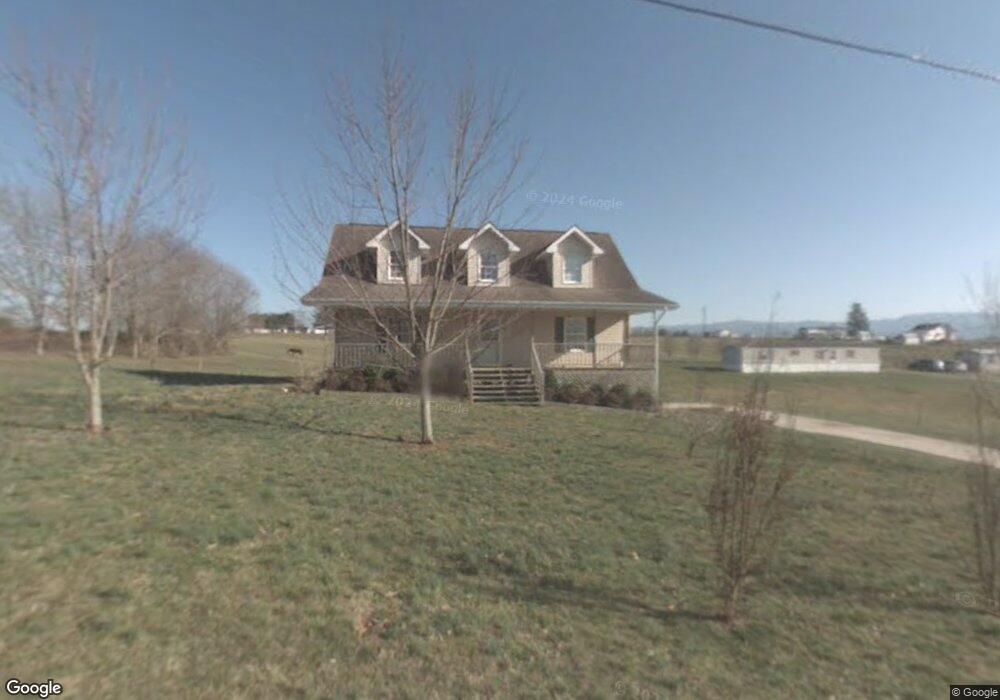
126 Walnut Ct Unit 1 Limestone, TN 37681
Estimated Value: $319,927 - $396,000
4
Beds
2
Baths
2,080
Sq Ft
$169/Sq Ft
Est. Value
About This Home
This home is located at 126 Walnut Ct Unit 1, Limestone, TN 37681 and is currently estimated at $352,232, approximately $169 per square foot. 126 Walnut Ct Unit 1 is a home located in Washington County with nearby schools including West View School, David Crockett High School, and SteppenStone Academy.
Ownership History
Date
Name
Owned For
Owner Type
Purchase Details
Closed on
Aug 30, 2007
Sold by
Baird Paul D
Bought by
Newland Joseph A
Current Estimated Value
Home Financials for this Owner
Home Financials are based on the most recent Mortgage that was taken out on this home.
Original Mortgage
$156,700
Outstanding Balance
$98,096
Interest Rate
6.62%
Estimated Equity
$254,136
Purchase Details
Closed on
Jul 30, 2001
Sold by
Kathy Hensley
Bought by
Baird Paul D
Purchase Details
Closed on
Jan 7, 1999
Bought by
Hensley Kathy C
Create a Home Valuation Report for This Property
The Home Valuation Report is an in-depth analysis detailing your home's value as well as a comparison with similar homes in the area
Purchase History
| Date | Buyer | Sale Price | Title Company |
|---|---|---|---|
| Newland Joseph A | $164,900 | -- | |
| Baird Paul D | $124,000 | -- | |
| Hensley Kathy C | $10,000 | -- |
Source: Public Records
Mortgage History
| Date | Status | Borrower | Loan Amount |
|---|---|---|---|
| Open | Hensley Kathy C | $156,700 |
Source: Public Records
Tax History
| Year | Tax Paid | Tax Assessment Tax Assessment Total Assessment is a certain percentage of the fair market value that is determined by local assessors to be the total taxable value of land and additions on the property. | Land | Improvement |
|---|---|---|---|---|
| 2025 | $1,129 | $66,025 | $6,600 | $59,425 |
| 2024 | $1,129 | $66,025 | $6,600 | $59,425 |
| 2023 | $868 | $40,375 | $0 | $0 |
| 2022 | $868 | $40,375 | $3,925 | $36,450 |
| 2021 | $868 | $40,375 | $3,925 | $36,450 |
| 2020 | $868 | $40,375 | $3,925 | $36,450 |
| 2019 | $951 | $40,375 | $3,925 | $36,450 |
| 2018 | $951 | $39,950 | $3,925 | $36,025 |
| 2017 | $951 | $39,950 | $3,925 | $36,025 |
| 2016 | $951 | $39,950 | $3,925 | $36,025 |
| 2015 | $791 | $39,950 | $3,925 | $36,025 |
| 2014 | $791 | $39,950 | $3,925 | $36,025 |
Source: Public Records
Map
Nearby Homes
- 14 Kenzee Place
- 217 Opie Arnold Rd
- Tbd Corby Bridge Rd
- 300 Opie Arnold Rd
- 182 Corby Bridge Rd
- 500 Urbana Rd
- 0 Highway 11e
- 000 Davy Crockett Rd
- 3270 Old State Route 34
- Tbd John Mathews Rd
- 186 Garland Rd
- 220 Crockett Timbers Rd
- 170 John Mathews Rd
- 152 Culver Rd
- 2793 Old State Route 34
- 3507 Chuckey Hwy
- 1325 Bowmantown Rd
- 268 Washington College Station Rd
- 453 Rauhof Rd
- 673 Charles Johnson Rd
- 126 Walnut Ct
- 130 Walnut Ct
- 127 Walnut Ct
- 114 Walnut Ct
- 0 Walnut Ct
- 116 Walnut Ct
- 128 Anderson St
- 110 Henley St
- 122 Anderson St
- 3810 Old State Route 34
- 116 Anderson St
- 103 Walnut Ct
- 3728 Old State Route 34
- 228 Anderson St
- 3720 Old State Route 34
- 0 Old State Route 34 Unit 111692
- 0 Old State Route 34 Unit 200380
- Tract 14 Old State Route 34
- 0 Old State Route 34
- 3718 Old State Route 34
Your Personal Tour Guide
Ask me questions while you tour the home.