1260 146th Ave Wayland, MI 49348
Estimated Value: $375,000 - $494,000
3
Beds
1
Bath
1,448
Sq Ft
$297/Sq Ft
Est. Value
About This Home
This home is located at 1260 146th Ave, Wayland, MI 49348 and is currently estimated at $429,862, approximately $296 per square foot. 1260 146th Ave is a home located in Allegan County with nearby schools including Wayland High School, Byron Center Charter School, and Moline Christian School.
Ownership History
Date
Name
Owned For
Owner Type
Purchase Details
Closed on
Sep 8, 2006
Sold by
Vos Russell J
Bought by
Vos Russell J and Vos Patricia M
Current Estimated Value
Home Financials for this Owner
Home Financials are based on the most recent Mortgage that was taken out on this home.
Original Mortgage
$140,000
Outstanding Balance
$89,132
Interest Rate
8%
Mortgage Type
New Conventional
Estimated Equity
$340,730
Purchase Details
Closed on
Nov 3, 1998
Sold by
Mulder Shirlene A
Bought by
Lefebre Randall J and Lefebre Linda K
Create a Home Valuation Report for This Property
The Home Valuation Report is an in-depth analysis detailing your home's value as well as a comparison with similar homes in the area
Home Values in the Area
Average Home Value in this Area
Purchase History
| Date | Buyer | Sale Price | Title Company |
|---|---|---|---|
| Vos Russell J | -- | Title Pro Agency | |
| Lefebre Randall J | -- | -- | |
| Lefebre Randall J | -- | -- | |
| Vos Russell J | $180,000 | -- |
Source: Public Records
Mortgage History
| Date | Status | Borrower | Loan Amount |
|---|---|---|---|
| Open | Vos Russell J | $140,000 |
Source: Public Records
Tax History Compared to Growth
Tax History
| Year | Tax Paid | Tax Assessment Tax Assessment Total Assessment is a certain percentage of the fair market value that is determined by local assessors to be the total taxable value of land and additions on the property. | Land | Improvement |
|---|---|---|---|---|
| 2025 | $3,056 | $175,400 | $75,000 | $100,400 |
| 2024 | $2,797 | $158,500 | $61,800 | $96,700 |
| 2023 | $2,865 | $147,300 | $60,000 | $87,300 |
| 2022 | $2,797 | $123,000 | $51,000 | $72,000 |
| 2021 | $2,595 | $144,400 | $75,000 | $69,400 |
| 2020 | $2,482 | $142,900 | $75,000 | $67,900 |
| 2019 | $2,482 | $121,900 | $55,000 | $66,900 |
| 2018 | $2,484 | $113,600 | $55,000 | $58,600 |
| 2017 | $0 | $97,300 | $36,000 | $61,300 |
| 2016 | $0 | $81,400 | $35,500 | $45,900 |
| 2015 | -- | $81,400 | $35,500 | $45,900 |
| 2014 | -- | $76,400 | $35,500 | $40,900 |
| 2013 | -- | $74,100 | $35,500 | $38,600 |
Source: Public Records
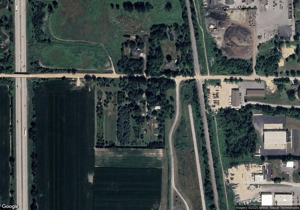
Map
Nearby Homes
- 4351 Hickory View Ct
- 4335 Tavistock Dr
- Lot 11 Walnut Dale Dr
- 1069 108th St SW
- 4316 Sussex Place
- 4273 Highpoint Dr Unit 112
- Unit 111 Highpoint Dr
- 4653 Leighton Lakes Dr Unit 9
- 4274 Butternut Dr
- 4312 Woodside Meadow Ct
- 92 100th St SW
- 112 100th St SW
- 82 100th St SW
- 82 100th St SW
- Lot 142 Butternut Dr
- Lot 141 Butternut Dr
- 4249 Butternut Dr
- 4245 Butternut Dr
- 4240 Butternut Dr
- Vienna Plan at Harvest Meadows
- 1250 146th Ave
- 000 146th
- 1251 146th Ave
- 1263 146th Ave
- 4614 12th St
- 4570 Division St
- 1222 Ingle Rd
- 4596 Division St
- 4592 12th St
- 1201 146th Ave
- 0 146th Ave Unit M18054275
- 0 146th Ave Unit M19049847
- 0 146th Ave Unit M20039351
- 7 146th Ave
- 0 146th Ave Unit APP 8 3317963
- 4609 Division St
- 4609 Division St
- 1195 146th Ave
- 4617 Division Ave S
- 4617 Division St