1260 Forest Grove Rd Furlong, PA 18925
Estimated Value: $331,000 - $1,987,690
5
Beds
4
Baths
4,954
Sq Ft
$245/Sq Ft
Est. Value
About This Home
This home is located at 1260 Forest Grove Rd, Furlong, PA 18925 and is currently estimated at $1,213,563, approximately $244 per square foot. 1260 Forest Grove Rd is a home located in Bucks County with nearby schools including Bridge Valley Elementary School, Holicong Middle School, and Central Bucks High School - East.
Ownership History
Date
Name
Owned For
Owner Type
Purchase Details
Closed on
Dec 27, 2010
Sold by
Black William H
Bought by
Potter Cory D and Potter Stacy M
Current Estimated Value
Home Financials for this Owner
Home Financials are based on the most recent Mortgage that was taken out on this home.
Original Mortgage
$324,000
Outstanding Balance
$228,341
Interest Rate
5.5%
Mortgage Type
Construction
Estimated Equity
$985,222
Purchase Details
Closed on
Jun 30, 2010
Sold by
Black William and Black Margrit
Bought by
Garton Jeffrey P and Garton Keri A
Home Financials for this Owner
Home Financials are based on the most recent Mortgage that was taken out on this home.
Original Mortgage
$896,000
Interest Rate
4.88%
Mortgage Type
New Conventional
Create a Home Valuation Report for This Property
The Home Valuation Report is an in-depth analysis detailing your home's value as well as a comparison with similar homes in the area
Home Values in the Area
Average Home Value in this Area
Purchase History
| Date | Buyer | Sale Price | Title Company |
|---|---|---|---|
| Potter Cory D | $150,000 | None Available | |
| Garton Jeffrey P | $1,280,000 | None Available |
Source: Public Records
Mortgage History
| Date | Status | Borrower | Loan Amount |
|---|---|---|---|
| Open | Potter Cory D | $324,000 | |
| Previous Owner | Garton Jeffrey P | $896,000 |
Source: Public Records
Tax History Compared to Growth
Tax History
| Year | Tax Paid | Tax Assessment Tax Assessment Total Assessment is a certain percentage of the fair market value that is determined by local assessors to be the total taxable value of land and additions on the property. | Land | Improvement |
|---|---|---|---|---|
| 2025 | $15,449 | $94,890 | $4,490 | $90,400 |
| 2024 | $15,449 | $94,890 | $4,490 | $90,400 |
| 2023 | $14,925 | $94,890 | $4,490 | $90,400 |
| 2022 | $14,747 | $94,890 | $4,490 | $90,400 |
| 2021 | $14,570 | $138,770 | $48,370 | $90,400 |
| 2020 | $14,570 | $138,770 | $48,370 | $90,400 |
| 2019 | $14,475 | $138,770 | $48,370 | $90,400 |
| 2018 | $14,475 | $138,770 | $48,370 | $90,400 |
| 2017 | $14,357 | $138,770 | $48,370 | $90,400 |
| 2016 | $14,499 | $138,770 | $48,370 | $90,400 |
| 2015 | -- | $138,770 | $48,370 | $90,400 |
| 2014 | -- | $138,770 | $48,370 | $90,400 |
Source: Public Records
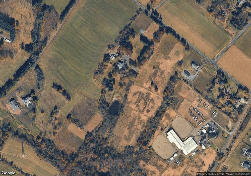
Map
Nearby Homes
- 1221 Creek Rd
- 4549 Lower Mountain Rd
- 377 Spring Meadow Cir
- 214 Dove Ct
- 158 Grouse Cir
- 191 Cardinal Ct S
- 0 Old York Rd Unit PABU2103356
- 183 Spring Meadow Cir
- 1948 Forest Grove Rd
- 148 Raven Ct
- 529 Honeysuckle Ct
- 561 Spring Meadow Cir
- 4448 Lower Mountain Rd
- 1515 Sugar Bottom Rd
- 2080 Bedfordshire Rd
- 1908 Durham Rd
- 1341 Durham Rd
- 3657 Powder Horn Dr
- 2209 Swamp Rd
- 880 Macclesfield Rd
- 1285 Forest Grove Rd
- 1283 Forest Grove Rd
- 1212 Forest Grove Rd
- 3814 Dark Hollow Rd Unit BARN2
- 3814 Dark Hollow Rd
- 1368 Forest Grove Rd
- 1180 Forest Grove Rd
- 1391 Forest Grove Rd
- 1168 Forest Grove Rd
- 1409 Forest Grove Rd
- 3852 Dark Hollow Rd
- 1419 Forest Grove Rd
- 3980 New Hope Rd
- 1451 Forest Grove Rd
- 3866 Parkside Dr
- 3862 Parkside Dr
- 3874 Parkside Dr
- 1437 Forest Grove Rd
- 3856 Parkside Dr
- 3990 New Hope Rd