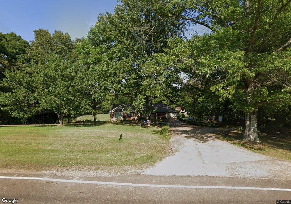
1260 Getwell Rd S Hernando, MS 38632
Estimated Value: $420,000 - $455,000
4
Beds
--
Bath
2,625
Sq Ft
$167/Sq Ft
Est. Value
About This Home
This home is located at 1260 Getwell Rd S, Hernando, MS 38632 and is currently estimated at $437,932, approximately $166 per square foot. 1260 Getwell Rd S is a home located in DeSoto County with nearby schools including Oak Grove Central Elementary School, Hernando Hills Elementary, and Hernando Elementary School.
Ownership History
Date
Name
Owned For
Owner Type
Purchase Details
Closed on
May 27, 2022
Sold by
Pitts Iii Gary W
Bought by
Pitts Gary W and Pitts Molly G
Current Estimated Value
Home Financials for this Owner
Home Financials are based on the most recent Mortgage that was taken out on this home.
Original Mortgage
$250,000
Interest Rate
5.1%
Mortgage Type
Construction
Purchase Details
Closed on
Apr 8, 2022
Sold by
Rose Paul B
Bought by
Pitts Gary W
Home Financials for this Owner
Home Financials are based on the most recent Mortgage that was taken out on this home.
Original Mortgage
$250,000
Interest Rate
5.1%
Mortgage Type
Construction
Create a Home Valuation Report for This Property
The Home Valuation Report is an in-depth analysis detailing your home's value as well as a comparison with similar homes in the area
Home Values in the Area
Average Home Value in this Area
Purchase History
| Date | Buyer | Sale Price | Title Company |
|---|---|---|---|
| Pitts Gary W | -- | Select Title & Escrow | |
| Pitts Gary W | -- | None Listed On Document |
Source: Public Records
Mortgage History
| Date | Status | Borrower | Loan Amount |
|---|---|---|---|
| Closed | Pitts Gary W | $250,000 |
Source: Public Records
Tax History
| Year | Tax Paid | Tax Assessment Tax Assessment Total Assessment is a certain percentage of the fair market value that is determined by local assessors to be the total taxable value of land and additions on the property. | Land | Improvement |
|---|---|---|---|---|
| 2025 | $2,126 | $29,270 | $3,150 | $26,120 |
| 2024 | $1,840 | $21,304 | $3,150 | $18,154 |
| 2023 | $1,840 | $4,725 | $0 | $0 |
| 2022 | $482 | $4,725 | $4,725 | $0 |
| 2021 | $482 | $4,725 | $4,725 | $0 |
| 2020 | $482 | $4,725 | $4,725 | $0 |
| 2019 | $482 | $4,725 | $4,725 | $0 |
| 2017 | $486 | $4,725 | $4,725 | $0 |
| 2016 | $1,081 | $18,117 | $4,675 | $13,442 |
| 2015 | $1,824 | $31,559 | $18,117 | $13,442 |
| 2014 | $1,081 | $18,117 | $0 | $0 |
| 2013 | $1,070 | $18,117 | $0 | $0 |
Source: Public Records
Map
Nearby Homes
- 1347 Creekside Ln
- 0 Steele Rd
- 2188 Sawyer Cir
- 2133 Sawyer Cir
- 837 Red Cedar Loop
- 2174 Sawyer Cir
- 750 Red Cedar Loop
- 909 Red Cedar Loop
- 814 Red Cedar Loop
- 792 Red Cedar Loop
- 757 Red Cedar Loop
- 830 Red Cedar Loop
- 879 Red Cedar Loop
- 870 Red Cedar Loop
- 769 Red Cedar Loop
- 3346 Kyle Ln
- 0 Jaybird Rd Unit 26750156
- 2327 Livingston Way
- 1586 Carlee Dr
- 3068 Ac Freeman Dr N
- 2993 Fountain Gate Dr
- 2972 Fountain Gate Dr
- 1315 Getwell Rd S
- 1446 Getwell Rd S
- 47 Fountain Gate Dr
- 7 Fountain Gate Dr
- 58 Fountain Gate Dr
- 2 Fountain Gate Dr
- 8 Fountain Gate Dr
- 67 Fountain Gate Dr
- 83 Fountain Gate Dr
- 53 Fountain Gate Dr
- 43 Fountain Gate Dr
- 34 Fountain Gate Dr
- 55 Fountain Gate Dr
- 56 Fountain Gate Dr
- 60 Fountain Gate Dr
- 31 Fountain Gate Dr
- 52 Fountain Gate Dr
Your Personal Tour Guide
Ask me questions while you tour the home.