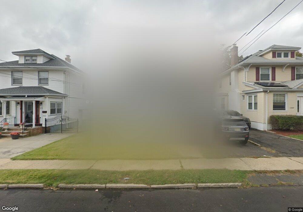
1260 Robert St Hillside, NJ 07205
Westminster NeighborhoodEstimated Value: $484,000 - $508,000
4
Beds
2
Baths
1,408
Sq Ft
$350/Sq Ft
Est. Value
About This Home
This home is located at 1260 Robert St, Hillside, NJ 07205 and is currently estimated at $492,308, approximately $349 per square foot. 1260 Robert St is a home located in Union County with nearby schools including Abram P. Morris-Saybrook Elementary School, Hurden Looker School, and Ola Edwards Community School.
Ownership History
Date
Name
Owned For
Owner Type
Purchase Details
Closed on
Nov 3, 2022
Sold by
Rodgers Kelvin and Rodgers Katina
Bought by
Fequiere David and Salomon Nadeige
Current Estimated Value
Home Financials for this Owner
Home Financials are based on the most recent Mortgage that was taken out on this home.
Original Mortgage
$398,646
Outstanding Balance
$386,575
Interest Rate
7.08%
Mortgage Type
FHA
Estimated Equity
$105,733
Purchase Details
Closed on
Aug 9, 2001
Sold by
Wetzel Stephen and Wetzel John
Bought by
Rodgers Kelvin and Rodgers Katina
Home Financials for this Owner
Home Financials are based on the most recent Mortgage that was taken out on this home.
Original Mortgage
$151,550
Interest Rate
7.16%
Mortgage Type
FHA
Create a Home Valuation Report for This Property
The Home Valuation Report is an in-depth analysis detailing your home's value as well as a comparison with similar homes in the area
Home Values in the Area
Average Home Value in this Area
Purchase History
| Date | Buyer | Sale Price | Title Company |
|---|---|---|---|
| Fequiere David | $406,000 | Chicago Title | |
| Fequiere David | $406,000 | Chicago Title | |
| Rodgers Kelvin | $154,000 | -- |
Source: Public Records
Mortgage History
| Date | Status | Borrower | Loan Amount |
|---|---|---|---|
| Open | Fequiere David | $398,646 | |
| Closed | Fequiere David | $398,646 | |
| Previous Owner | Rodgers Kelvin | $151,550 |
Source: Public Records
Tax History
| Year | Tax Paid | Tax Assessment Tax Assessment Total Assessment is a certain percentage of the fair market value that is determined by local assessors to be the total taxable value of land and additions on the property. | Land | Improvement |
|---|---|---|---|---|
| 2025 | $8,641 | $104,700 | $64,500 | $40,200 |
| 2024 | $8,390 | $104,700 | $64,500 | $40,200 |
| 2023 | $8,390 | $104,700 | $64,500 | $40,200 |
| 2022 | $8,312 | $104,700 | $64,500 | $40,200 |
| 2021 | $8,258 | $104,700 | $64,500 | $40,200 |
| 2020 | $8,210 | $104,700 | $64,500 | $40,200 |
| 2019 | $8,050 | $104,700 | $64,500 | $40,200 |
| 2018 | $7,970 | $104,700 | $64,500 | $40,200 |
| 2017 | $7,922 | $104,700 | $64,500 | $40,200 |
| 2016 | $7,912 | $104,700 | $64,500 | $40,200 |
| 2015 | $7,842 | $104,700 | $64,500 | $40,200 |
| 2014 | $7,718 | $104,700 | $64,500 | $40,200 |
Source: Public Records
Map
Nearby Homes
- 1229 Robert St
- 24 Hollywood Ave
- 1250 N Broad St Unit A1
- 1204 Salem Ave
- 1200 Salem Ave
- 137 Fairbanks St
- 161 Virginia St
- 75 Hillside Ave
- 124 Woodruff Place
- 1444 N Broad St
- 345 Sanford Ave
- 1018 John Glenn Dr
- 1408 Lexington Place Unit 1410
- 1038 Fairview Place
- 1504 Munn Ave
- 128 Baltimore Ave
- 1406 Maple Ave
- 1379 Garfield Place
- 149 Baltimore Ave
- 1437 Parkview Terrace
- 1264 Robert St
- 1256 Robert St
- 1254 Robert St
- 1268 Robert St
- 1259 Salem Ave
- 1261 Salem Ave
- 1257 Salem Ave
- 1263 Salem Ave
- 1250 Robert St
- 1274 Robert St
- 1255 Salem Ave
- 1267 Salem Ave
- 1253 Salem Ave
- 1261 Robert St
- 1265 Robert St
- 1265 Robert St Unit 2
- 1246 Robert St
- 1257 Robert St
- 1271 Salem Ave
- 1253 Robert St
Your Personal Tour Guide
Ask me questions while you tour the home.