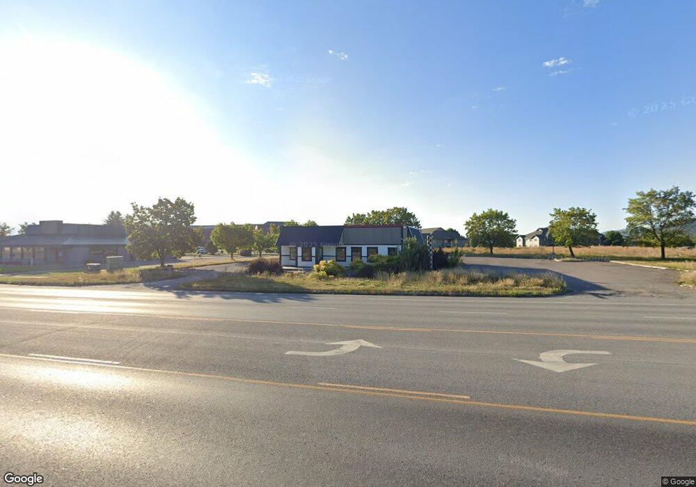
1260 Us Highway 2 W Kalispell, MT 59901
--
Bed
--
Bath
2,713
Sq Ft
0.72
Acres
About This Home
This home is located at 1260 Us Highway 2 W, Kalispell, MT 59901. 1260 Us Highway 2 W is a home located in Flathead County with nearby schools including Lillian Peterson School, Kalispell Middle School, and Flathead High School.
Ownership History
Date
Name
Owned For
Owner Type
Purchase Details
Closed on
Mar 25, 2025
Sold by
1330 Cedar Llc and 30 Appleway Llc
Bought by
Park Side Financial Credit Union
Purchase Details
Closed on
Jul 14, 2021
Sold by
30 Appleway Llc
Bought by
1330 Cedar Llc
Home Financials for this Owner
Home Financials are based on the most recent Mortgage that was taken out on this home.
Original Mortgage
$440,000
Interest Rate
2.9%
Mortgage Type
Commercial
Purchase Details
Closed on
Jan 28, 2021
Sold by
Sefcik Holdings Llc
Bought by
30 Appleway Llc
Home Financials for this Owner
Home Financials are based on the most recent Mortgage that was taken out on this home.
Original Mortgage
$475,000
Interest Rate
2.67%
Mortgage Type
Commercial
Purchase Details
Closed on
Oct 13, 2020
Sold by
Selfcik Holdings Llc
Bought by
Deloris Group Llc
Purchase Details
Closed on
Dec 31, 2019
Sold by
Cross Enterprise Restaurants Inc
Bought by
Sefcik Holdings Llc
Create a Home Valuation Report for This Property
The Home Valuation Report is an in-depth analysis detailing your home's value as well as a comparison with similar homes in the area
Home Values in the Area
Average Home Value in this Area
Purchase History
| Date | Buyer | Sale Price | Title Company |
|---|---|---|---|
| Park Side Financial Credit Union | -- | None Listed On Document | |
| 1330 Cedar Llc | -- | First American Title Company | |
| 30 Appleway Llc | -- | First American Title Co | |
| Deloris Group Llc | -- | First American Title Co | |
| Sefcik Holdings Llc | -- | Fidelity National Title |
Source: Public Records
Mortgage History
| Date | Status | Borrower | Loan Amount |
|---|---|---|---|
| Previous Owner | 1330 Cedar Llc | $440,000 | |
| Previous Owner | 30 Appleway Llc | $475,000 |
Source: Public Records
Tax History Compared to Growth
Tax History
| Year | Tax Paid | Tax Assessment Tax Assessment Total Assessment is a certain percentage of the fair market value that is determined by local assessors to be the total taxable value of land and additions on the property. | Land | Improvement |
|---|---|---|---|---|
| 2025 | $8,265 | $796,700 | $0 | $0 |
| 2024 | $5,901 | $541,300 | $0 | $0 |
| 2023 | $7,586 | $541,300 | $0 | $0 |
| 2022 | $9,775 | $496,500 | $0 | $0 |
| 2021 | $7,442 | $493,884 | $0 | $0 |
| 2020 | $9,641 | $439,400 | $0 | $0 |
| 2019 | $9,603 | $439,400 | $0 | $0 |
| 2018 | $8,356 | $345,502 | $0 | $0 |
| 2017 | $8,323 | $345,502 | $0 | $0 |
| 2016 | $6,849 | $347,118 | $0 | $0 |
| 2015 | $6,802 | $347,118 | $0 | $0 |
| 2014 | $9,085 | $400,545 | $0 | $0 |
Source: Public Records
Map
Nearby Homes
- 15 & 17 Appleway Dr
- 1000 W Idaho St
- 622 Corporate Dr
- 630 Corporate Dr
- 110 Glenwood Dr Unit C
- 36 9th Ave W
- 163 Greenbriar Dr
- 71 Hawthorn Ave
- 114 Lambert Ct
- NHN W Idaho St
- 33 Hathaway Ln
- 97 Hawthorn W
- 515 W Oregon St
- Nhn N Meridian Rd
- 577 6th Avenue West N
- 444 S Meridian Rd
- 5 6th Ave W
- 153 Hawthorn Ave Unit B
- 153 Hawthorn Ave Unit D
- Lot 6 Liberty St
- 1260 Us Highway 2 W
- 1260 Us Highway 2 W
- 1260 Us Highway 2 W
- 1260 Us Highway 2 W
- 1260 Us Highway 2 W
- 1260 U S Highway 2 W
- 1260 Us Highway 2 W
- 10856 U S Highway 2 W
- 1250 Us Highway 2 W
- 30 Appleway Dr
- 1280 Highway 2 W
- 1305 Us Highway 2 W
- 1305 Us Highway 2 W
- 1305 Highway 2 W
- 1121 Us Highway 2 W
- 1121 Us Highway 2 W
- 1305 Hwy 2 W
- 40 Appleway Dr
- 1315 Us Highway 2 W
- 1315 Us Highway 2 W