12600 Foster Estate Dr Eagle River, AK 99577
Eagle River Valley NeighborhoodEstimated Value: $2,365,318 - $2,958,000
5
Beds
7
Baths
11,973
Sq Ft
$222/Sq Ft
Est. Value
About This Home
This home is located at 12600 Foster Estate Dr, Eagle River, AK 99577 and is currently estimated at $2,661,659, approximately $222 per square foot. 12600 Foster Estate Dr is a home located in Anchorage Municipality with nearby schools including Fire Lake Elementary School, Mirror Lake Middle School, and Chugiak High School.
Ownership History
Date
Name
Owned For
Owner Type
Purchase Details
Closed on
Dec 19, 2008
Sold by
Foster Phillis B
Bought by
Phillis B Foster Residence Trust
Current Estimated Value
Purchase Details
Closed on
Dec 11, 2008
Sold by
Foster Michael L
Bought by
Michael L Foster Residence Trust
Create a Home Valuation Report for This Property
The Home Valuation Report is an in-depth analysis detailing your home's value as well as a comparison with similar homes in the area
Home Values in the Area
Average Home Value in this Area
Purchase History
| Date | Buyer | Sale Price | Title Company |
|---|---|---|---|
| Phillis B Foster Residence Trust | -- | None Listed On Document | |
| Foster Michael L | -- | None Listed On Document | |
| Michael L Foster Residence Trust | -- | None Listed On Document |
Source: Public Records
Tax History Compared to Growth
Tax History
| Year | Tax Paid | Tax Assessment Tax Assessment Total Assessment is a certain percentage of the fair market value that is determined by local assessors to be the total taxable value of land and additions on the property. | Land | Improvement |
|---|---|---|---|---|
| 2025 | $38,162 | $2,515,500 | $337,400 | $2,178,100 |
| 2024 | $38,162 | $2,464,600 | $337,400 | $2,127,200 |
| 2023 | $37,108 | $2,255,800 | $337,400 | $1,918,400 |
| 2022 | $34,272 | $2,115,800 | $337,400 | $1,778,400 |
| 2021 | $34,816 | $1,968,100 | $337,400 | $1,630,700 |
| 2020 | $29,513 | $1,897,200 | $337,400 | $1,559,800 |
| 2019 | $29,981 | $1,916,800 | $337,400 | $1,579,400 |
| 2018 | $29,733 | $1,900,200 | $337,400 | $1,562,800 |
| 2017 | $29,805 | $1,904,000 | $337,400 | $1,566,600 |
| 2016 | $28,726 | $2,106,500 | $337,400 | $1,769,100 |
| 2015 | $28,726 | $2,013,200 | $333,400 | $1,679,800 |
| 2014 | $28,726 | $1,982,700 | $333,400 | $1,649,300 |
Source: Public Records
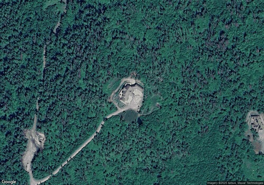
Map
Nearby Homes
- 18116 Harmony Dr
- 17421 Beaujolais Cir
- 17341 Beaujolais Cir
- 19567 Mount Magnificent Cir
- 17347 Flintwood Place Unit 83
- 17023 Riddell St
- 12229 Vista Ridge Loop
- 12227 Vista Ridge Loop
- 12121 Horseshoe Dr
- 11114 Kaskanak Dr
- 13049 Charlie Cir
- 11240 Echo St
- 10845 Anvik Cir
- 12329 Lake St Unit D7
- 17031 Coronado Rd
- 12255 Lake St
- 14417 Terrace Ln
- 16622 Riddell Cir
- 0000 Old Ridge Rd
- 16840 Park Place St
- L1DB Silverwood Hill Dr
- 19030 Silverwood Hill Dr
- 12326 Mountain Ash Dr
- 12341 Mountain Ash Dr
- 18529 Rouse Cir
- 19091 Silverwood Hill Dr
- 18559 Rouse Cir
- 18560 Rouse Cir
- 12301 Mountain Ash Dr
- 12321 W Skyline Dr
- 18849 Timberline Dr
- 19062 Silverwood Hill Dr
- 12330 W Skyline Dr
- 18713 Upper Skyline Dr
- 18530 Rouse Cir
- 12320 W Skyline Dr
- 12146 Rainwater Cir
- L3 B1 Mountain Ash Dr
- 18615 Upper Skyline Dr
- 18945 Timberline Dr