12604 Sunburst Dr Bigfork, MT 59911
Estimated Value: $850,000 - $2,491,000
2
Beds
2
Baths
980
Sq Ft
$1,705/Sq Ft
Est. Value
About This Home
This home is located at 12604 Sunburst Dr, Bigfork, MT 59911 and is currently estimated at $1,670,500, approximately $1,704 per square foot. 12604 Sunburst Dr is a home located in Lake County with nearby schools including Bigfork Elementary School, Bigfork Middle School, and Bigfork High School.
Ownership History
Date
Name
Owned For
Owner Type
Purchase Details
Closed on
Jul 15, 2010
Sold by
Zarimba Peter J and Zarimba Kathleen A
Bought by
Barnhart Peggy L and Barnhart Richard
Current Estimated Value
Home Financials for this Owner
Home Financials are based on the most recent Mortgage that was taken out on this home.
Original Mortgage
$121,000
Interest Rate
4.76%
Mortgage Type
Future Advance Clause Open End Mortgage
Purchase Details
Closed on
Feb 10, 2006
Sold by
Felker Roger A and Felker Donna
Bought by
Zarimba Peter J and Zarimba Kathleen A
Create a Home Valuation Report for This Property
The Home Valuation Report is an in-depth analysis detailing your home's value as well as a comparison with similar homes in the area
Home Values in the Area
Average Home Value in this Area
Purchase History
| Date | Buyer | Sale Price | Title Company |
|---|---|---|---|
| Barnhart Peggy L | -- | Alliance Title | |
| Zarimba Peter J | -- | None Available |
Source: Public Records
Mortgage History
| Date | Status | Borrower | Loan Amount |
|---|---|---|---|
| Closed | Barnhart Peggy L | $121,000 |
Source: Public Records
Tax History Compared to Growth
Tax History
| Year | Tax Paid | Tax Assessment Tax Assessment Total Assessment is a certain percentage of the fair market value that is determined by local assessors to be the total taxable value of land and additions on the property. | Land | Improvement |
|---|---|---|---|---|
| 2025 | $2,063 | $570,508 | $0 | $0 |
| 2024 | $2,012 | $334,310 | $0 | $0 |
| 2023 | $1,917 | $334,310 | $0 | $0 |
| 2022 | $1,866 | $248,808 | $0 | $0 |
| 2021 | $1,790 | $248,808 | $0 | $0 |
| 2020 | $1,791 | $217,066 | $0 | $0 |
| 2019 | $1,761 | $217,066 | $0 | $0 |
| 2018 | $1,711 | $203,784 | $0 | $0 |
| 2017 | $1,716 | $204,872 | $0 | $0 |
| 2016 | $1,645 | $203,784 | $0 | $0 |
| 2015 | $1,262 | $164,400 | $0 | $0 |
| 2014 | $1,129 | $114,756 | $0 | $0 |
Source: Public Records
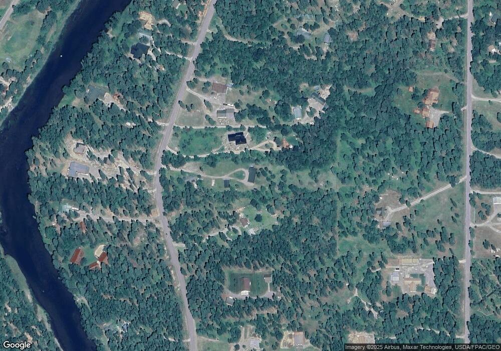
Map
Nearby Homes
- 12524 Sunburst Dr
- 29044 Wapiti Ln
- 12554 Mt Highway 83
- 12022 Mount Highway 83
- 1 Red Owl Rd
- 11974 Mt Highway 83
- 13643 Sundance Trail
- 19 Red Owl Rd
- 2 Red Owl Rd
- 18 Red Owl Rd
- 3 Snowy Owl Ln
- 17 Snowy Owl Ln
- 4 Snowy Owl Ln
- 595 Wapiti Ln
- 16 Snowy Owl Ln
- 5 Snowy Owl Ln
- 15 Snowy Owl Ln
- 6 Snowy Owl Ln
- 7 Snowy Owl Ln
- 14 Snowy Owl Ln
- 12686 Sunburst Dr
- 12586 Sunburst Dr
- 211 Sunburst Dr
- 258 Sunburst Dr
- 250 Sunburst Dr
- 236 Sunburst Dr
- 280 Sunburst Dr
- 284 Sunburst Dr
- 12708 Sunburst Dr
- 192 Sunburst Dr
- 205 Sunburst Dr
- 12703 Sunburst Dr
- 12493 Sunburst Dr
- 12477 Sunburst Dr
- 12477 Sunburst Dr
- 12657 Sunburst Dr
- 12665 Sunburst Dr
- 144 Sunburst Dr
- 12562 Sunburst Dr
- 352 Sunburst Dr