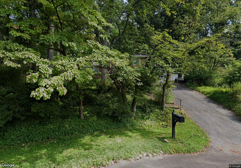
12605 Eldrid Ct Silver Spring, MD 20904
Estimated Value: $800,439 - $910,000
5
Beds
3
Baths
3,120
Sq Ft
$274/Sq Ft
Est. Value
About This Home
This home is located at 12605 Eldrid Ct, Silver Spring, MD 20904 and is currently estimated at $853,360, approximately $273 per square foot. 12605 Eldrid Ct is a home located in Montgomery County with nearby schools including Jackson Road Elementary School, White Oak Middle School, and Springbrook High School.
Ownership History
Date
Name
Owned For
Owner Type
Purchase Details
Closed on
Dec 8, 2011
Sold by
Dragt Lavonne A and Dragt Alexander J
Bought by
Barnett Eugenia
Current Estimated Value
Home Financials for this Owner
Home Financials are based on the most recent Mortgage that was taken out on this home.
Original Mortgage
$355,500
Outstanding Balance
$242,952
Interest Rate
3.99%
Mortgage Type
New Conventional
Estimated Equity
$610,408
Purchase Details
Closed on
Nov 14, 1988
Bought by
Dragt Lavonne A and A J
Create a Home Valuation Report for This Property
The Home Valuation Report is an in-depth analysis detailing your home's value as well as a comparison with similar homes in the area
Home Values in the Area
Average Home Value in this Area
Purchase History
| Date | Buyer | Sale Price | Title Company |
|---|---|---|---|
| Barnett Eugenia | $522,500 | Sage Title Group Llc | |
| Dragt Lavonne A | $265,000 | -- |
Source: Public Records
Mortgage History
| Date | Status | Borrower | Loan Amount |
|---|---|---|---|
| Open | Barnett Eugenia | $355,500 |
Source: Public Records
Tax History
| Year | Tax Paid | Tax Assessment Tax Assessment Total Assessment is a certain percentage of the fair market value that is determined by local assessors to be the total taxable value of land and additions on the property. | Land | Improvement |
|---|---|---|---|---|
| 2025 | $7,305 | $629,100 | -- | -- |
| 2024 | $7,305 | $569,900 | $0 | $0 |
| 2023 | $5,898 | $510,700 | $257,400 | $253,300 |
| 2022 | $5,548 | $506,167 | $0 | $0 |
| 2021 | $5,337 | $501,633 | $0 | $0 |
| 2020 | $5,337 | $497,100 | $257,400 | $239,700 |
| 2019 | $5,306 | $497,100 | $257,400 | $239,700 |
| 2018 | $5,290 | $497,100 | $257,400 | $239,700 |
| 2017 | $5,649 | $520,700 | $0 | $0 |
| 2016 | -- | $506,967 | $0 | $0 |
| 2015 | $5,514 | $493,233 | $0 | $0 |
| 2014 | $5,514 | $479,500 | $0 | $0 |
Source: Public Records
Map
Nearby Homes
- 600 Seminole Creek Way
- 609 Seminole Creek Way
- 12805 Brandon Green Ct
- 12916 Shaw Place
- 7 Shaw Ave
- 604 Hawkesbury Terrace
- 605 Rosemere Ave
- 606 Winhall Way
- 11715 Stonington Place
- 1502 Casino Cir
- 420 Lamberton Dr
- 1105 Sweetbay Place
- 421 Beaumont Rd
- 816 Rosemere Ave
- 1105 Verbena Ct
- 115 Lillian Ln
- 1521 Billman Ln
- 513 Beaumont Rd
- 1600 Billman Ln
- 906 Venice Dr
- 12601 Eldrid Ct
- 12603 Pentenville Rd
- 12601 Pentenville Rd
- 12603 Eldrid Ct
- 12600 Eldrid Ct
- 12605 Pentenville Rd
- 12604 Eldrid Ct
- 12602 Eldrid Ct
- 12600 Pentenville Rd
- 12607 Pentenville Rd
- 12606 Eldrid Ct
- 12608 Eldrid Ct
- 12604 Pentenville Rd
- 12610 Eldrid Ct
- 12615 Eldrid Ct
- 12609 Pentenville Rd
- 12612 Eldrid Ct
- 12608 Pentenville Rd
- 12701 Eldrid Place
- 12700 Eldrid Place
Your Personal Tour Guide
Ask me questions while you tour the home.