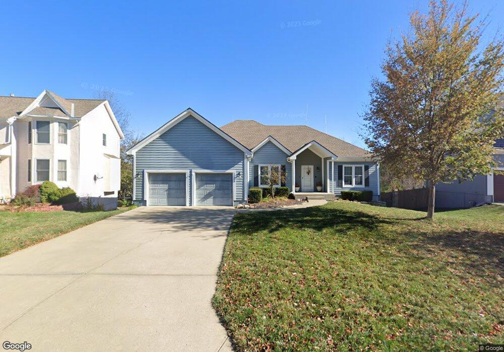
12609 Perry St Overland Park, KS 66213
Nottingham NeighborhoodEstimated Value: $457,279 - $486,000
3
Beds
2
Baths
2,090
Sq Ft
$224/Sq Ft
Est. Value
About This Home
This home is located at 12609 Perry St, Overland Park, KS 66213 and is currently estimated at $467,820, approximately $223 per square foot. 12609 Perry St is a home located in Johnson County with nearby schools including Oak Hill Elementary School, Oxford Middle, and Blue Valley Northwest High School.
Ownership History
Date
Name
Owned For
Owner Type
Purchase Details
Closed on
Jun 29, 2017
Sold by
Simpson Charles D
Bought by
Simpson Charles D and Charles D Simpson Living Trust
Current Estimated Value
Purchase Details
Closed on
Feb 17, 2006
Sold by
Simpson Valerie J and Simpson Charles D
Bought by
Simpson Valerie J and Simpson Charles D
Home Financials for this Owner
Home Financials are based on the most recent Mortgage that was taken out on this home.
Original Mortgage
$176,000
Interest Rate
6.1%
Mortgage Type
New Conventional
Create a Home Valuation Report for This Property
The Home Valuation Report is an in-depth analysis detailing your home's value as well as a comparison with similar homes in the area
Home Values in the Area
Average Home Value in this Area
Purchase History
| Date | Buyer | Sale Price | Title Company |
|---|---|---|---|
| Simpson Charles D | -- | None Available | |
| Simpson Valerie J | -- | Old Republic Title Co |
Source: Public Records
Mortgage History
| Date | Status | Borrower | Loan Amount |
|---|---|---|---|
| Previous Owner | Simpson Valerie J | $176,000 |
Source: Public Records
Tax History Compared to Growth
Tax History
| Year | Tax Paid | Tax Assessment Tax Assessment Total Assessment is a certain percentage of the fair market value that is determined by local assessors to be the total taxable value of land and additions on the property. | Land | Improvement |
|---|---|---|---|---|
| 2024 | $4,878 | $47,829 | $10,380 | $37,449 |
| 2023 | $4,771 | $45,885 | $10,380 | $35,505 |
| 2022 | $4,401 | $41,596 | $10,380 | $31,216 |
| 2021 | $4,139 | $37,064 | $8,649 | $28,415 |
| 2020 | $4,177 | $37,156 | $6,918 | $30,238 |
| 2019 | $4,036 | $35,144 | $4,966 | $30,178 |
| 2018 | $3,839 | $32,775 | $4,966 | $27,809 |
| 2017 | $3,641 | $30,544 | $4,966 | $25,578 |
| 2016 | $3,479 | $29,164 | $4,966 | $24,198 |
| 2015 | $3,492 | $29,164 | $4,966 | $24,198 |
| 2013 | -- | $25,680 | $4,966 | $20,714 |
Source: Public Records
Map
Nearby Homes
- 13416 W 178th St
- 13408 W 178th St
- 10438 W 125th Terrace
- 12823 Connell Dr
- 12906 Wedd St
- 12907 Connell Dr
- 9117 W 125th Terrace
- 13010 Stearns St
- 12509 King St
- 12229 Carter St
- 12209 Wedd St
- 12553 Grandview St
- 12120 Perry St
- 12120 Mastin St
- 8957 W 125th Terrace
- 9505 W 122nd St
- 12313 England St
- 12914 Goddard Ave
- 13164 Connell Dr
- 8812 W 124th Terrace
- 12613 Perry St
- 12605 Perry St
- 10013 W 126th St
- 10012 W 126th St
- 12601 Perry St
- 12617 Perry St
- 12604 Perry St
- 12600 Perry St
- 12608 Perry St
- 10104 W 126th Terrace
- 10008 W 126th St
- 10103 W 126th St
- 10100 W 126th Terrace
- 10104 W 126th St
- 10212 W 126th Terrace
- 10005 W 126th St
- 10004 W 126th St
- 10108 W 126th St
- 10010 W 126th Terrace
- 10107 W 126th St