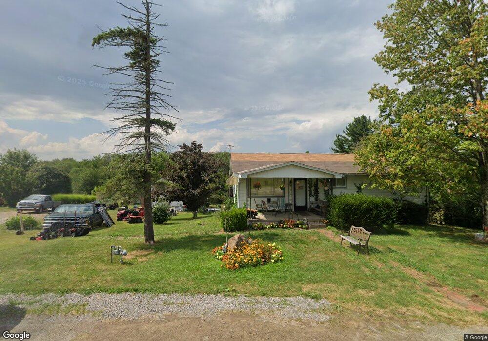
1261 Freeport Rd Kittanning, PA 16201
North Buffalo Township NeighborhoodEstimated Value: $194,000 - $266,000
3
Beds
3
Baths
1,432
Sq Ft
$157/Sq Ft
Est. Value
About This Home
This home is located at 1261 Freeport Rd, Kittanning, PA 16201 and is currently estimated at $224,677, approximately $156 per square foot. 1261 Freeport Rd is a home located in Armstrong County with nearby schools including West Hills Intermediate School and West Hills Primary School.
Ownership History
Date
Name
Owned For
Owner Type
Purchase Details
Closed on
Sep 29, 2008
Sold by
Beckett J Frank and Beckett Clara Dee
Bought by
Shaeffer George E and Kellar Gayl M
Current Estimated Value
Home Financials for this Owner
Home Financials are based on the most recent Mortgage that was taken out on this home.
Original Mortgage
$81,250
Outstanding Balance
$54,314
Interest Rate
6.54%
Mortgage Type
FHA
Estimated Equity
$170,363
Create a Home Valuation Report for This Property
The Home Valuation Report is an in-depth analysis detailing your home's value as well as a comparison with similar homes in the area
Home Values in the Area
Average Home Value in this Area
Purchase History
| Date | Buyer | Sale Price | Title Company |
|---|---|---|---|
| Shaeffer George E | $81,500 | None Available |
Source: Public Records
Mortgage History
| Date | Status | Borrower | Loan Amount |
|---|---|---|---|
| Open | Shaeffer George E | $81,250 |
Source: Public Records
Tax History Compared to Growth
Tax History
| Year | Tax Paid | Tax Assessment Tax Assessment Total Assessment is a certain percentage of the fair market value that is determined by local assessors to be the total taxable value of land and additions on the property. | Land | Improvement |
|---|---|---|---|---|
| 2025 | $3,827 | $43,070 | $24,710 | $18,360 |
| 2024 | $3,612 | $43,070 | $24,710 | $18,360 |
| 2023 | $2,961 | $43,070 | $24,710 | $18,360 |
| 2022 | $2,961 | $43,070 | $24,710 | $18,360 |
| 2021 | $2,925 | $43,070 | $24,710 | $18,360 |
| 2020 | $2,925 | $43,070 | $24,710 | $18,360 |
| 2019 | $2,925 | $43,070 | $24,710 | $18,360 |
| 2018 | $2,931 | $35,305 | $9,080 | $26,225 |
| 2017 | $2,909 | $43,070 | $24,710 | $18,360 |
| 2016 | $2,909 | $43,070 | $24,710 | $18,360 |
| 2015 | $2,234 | $43,070 | $24,710 | $18,360 |
| 2014 | $2,234 | $43,070 | $24,710 | $18,360 |
Source: Public Records
Map
Nearby Homes
- 1339 Freeport Rd
- 214 Cadogan Slate Lick Rd
- 122 Cemetery Rd
- 1801 Freeport Rd
- 417 2nd Ave
- 266 Prospect Ave
- 1146 Sarver Rd
- 183 Bell Top Dr
- 15291 U S 422
- 303 Ross St
- 146 W Main St
- 433 Bunker Hill Rd
- 633 5th Ave
- 155 Baker Rd
- 1102 Ross Ave
- 145 Baker Rd
- 631 6th Ave
- 634 Ridge Ave
- 217 Briar Hill Rd
- 208 Briar Hill Rd
- 1255 Freeport Rd
- 1222 Freeport Rd
- 1260 Freeport Rd
- 1241 Freeport Rd
- 1273 Freeport Rd
- 1276 Freeport Rd
- 1278 Freeport Rd
- 1288 Freeport Rd
- 1230 Freeport Rd
- 1297 Freeport Rd
- 1224 Freeport Rd
- 113 Wee Share Dr
- 1218 Freeport Rd
- 1219 Freeport Rd
- 109 Oak Grove Ln
- 1309 Freeport Rd
- 1304 Freeport Rd
- 1213 Freeport Rd
- 1214 Freeport Rd
- 1208 Freeport Rd