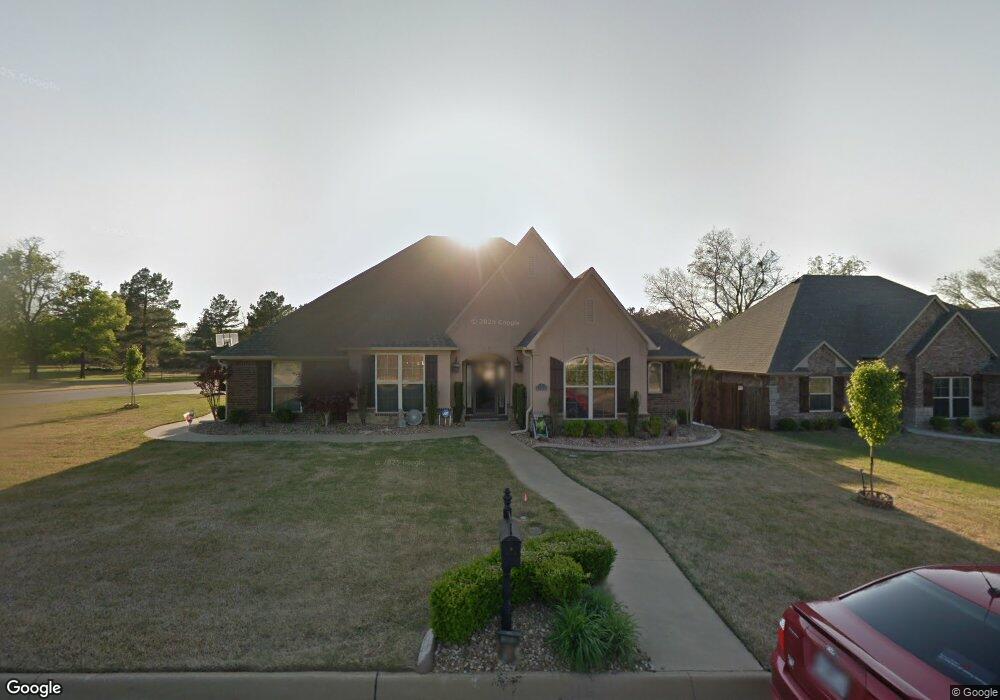
12612 Dunston Dr Fort Smith, AR 72916
Estimated Value: $377,000 - $401,000
--
Bed
3
Baths
2,407
Sq Ft
$161/Sq Ft
Est. Value
About This Home
This home is located at 12612 Dunston Dr, Fort Smith, AR 72916 and is currently estimated at $388,156, approximately $161 per square foot. 12612 Dunston Dr is a home located in Sebastian County with nearby schools including Westwood Elementary School, Greenwood Junior High School, and East Hills Middle School.
Ownership History
Date
Name
Owned For
Owner Type
Purchase Details
Closed on
Jun 20, 2019
Sold by
Bennett Walter M and Bennett El Nora
Bought by
Sexton Sam and Sexton Kim
Current Estimated Value
Purchase Details
Closed on
Oct 24, 2008
Sold by
Greater Fort Smith Assn Of Home Builders
Bought by
Sexton Sam and Sexton Kimberly K
Home Financials for this Owner
Home Financials are based on the most recent Mortgage that was taken out on this home.
Original Mortgage
$135,000
Interest Rate
6%
Mortgage Type
Purchase Money Mortgage
Purchase Details
Closed on
Apr 8, 2008
Sold by
Pinemeadow Inc
Bought by
Greater Fort Smith Assn Of Home Builders
Home Financials for this Owner
Home Financials are based on the most recent Mortgage that was taken out on this home.
Original Mortgage
$220,000
Interest Rate
6.11%
Mortgage Type
Purchase Money Mortgage
Create a Home Valuation Report for This Property
The Home Valuation Report is an in-depth analysis detailing your home's value as well as a comparison with similar homes in the area
Home Values in the Area
Average Home Value in this Area
Purchase History
| Date | Buyer | Sale Price | Title Company |
|---|---|---|---|
| Sexton Sam | $12,500 | Guaranty Abstract & Title Co | |
| Sexton Sam | $283,000 | Security Escrow & Title Inc | |
| Greater Fort Smith Assn Of Home Builders | $20,000 | Security Escrow & Title Inc |
Source: Public Records
Mortgage History
| Date | Status | Borrower | Loan Amount |
|---|---|---|---|
| Previous Owner | Sexton Sam | $135,000 | |
| Previous Owner | Greater Fort Smith Assn Of Home Builders | $220,000 |
Source: Public Records
Tax History Compared to Growth
Tax History
| Year | Tax Paid | Tax Assessment Tax Assessment Total Assessment is a certain percentage of the fair market value that is determined by local assessors to be the total taxable value of land and additions on the property. | Land | Improvement |
|---|---|---|---|---|
| 2024 | $2,902 | $53,050 | $8,000 | $45,050 |
| 2023 | $2,578 | $53,050 | $8,000 | $45,050 |
| 2022 | $2,628 | $53,050 | $8,000 | $45,050 |
| 2021 | $2,628 | $53,050 | $8,000 | $45,050 |
| 2020 | $2,628 | $53,050 | $8,000 | $45,050 |
| 2019 | $2,634 | $53,160 | $8,000 | $45,160 |
| 2018 | $2,659 | $53,160 | $8,000 | $45,160 |
| 2017 | $2,659 | $53,160 | $8,000 | $45,160 |
| 2016 | $2,904 | $53,160 | $8,000 | $45,160 |
| 2015 | $2,806 | $53,160 | $8,000 | $45,160 |
| 2014 | $2,415 | $48,860 | $7,000 | $41,860 |
Source: Public Records
Map
Nearby Homes
- 5601 Rye Bend
- 5612 Thomas Rd
- 12309 Old Highway 71
- 12201 Old Hwy 71
- 21525 U S 71
- 6300 Southfield Dr
- 12200 Stonechase Dr
- 5808 Meadow Brook Dr
- 6607 Howard Hill Rd
- 5805 Meadow Brook Dr
- 5804 Cedar Break Dr
- Tbd Riley Park Dr
- 4.8 Ac U S Highway 71
- 7.45 Ac U S Highway 71
- 2.4 Ac U S Highway 71
- 6705 Hunter Crossing Dr
- 11540 Kings Way
- 6604 Riley Park Dr
- 6906 Southfield Dr
- 5800 Rye Hill Rd
- 12606 Dunston Dr
- 12700 Dunston Dr
- 12526 Dunston Dr
- 5500 Callaway Ln
- 12522 Dunston Dr
- 12704 Dunston Dr
- 5504 Callaway Ln
- 5501 Thomas Rd
- 5319 Tennessee Circle Rd
- 12525 Dunston Dr
- 12518 Dunston Dr
- 5505 Thomas Rd
- 12708 Dunston Dr
- 12519 Dunston Dr
- 12514 Dunston Dr
- 5509 Thomas Rd
- 5414 Thomas Rd
- 5500 Thomas Rd
- 5512 Callaway Ln
- 12515 Dunston Dr