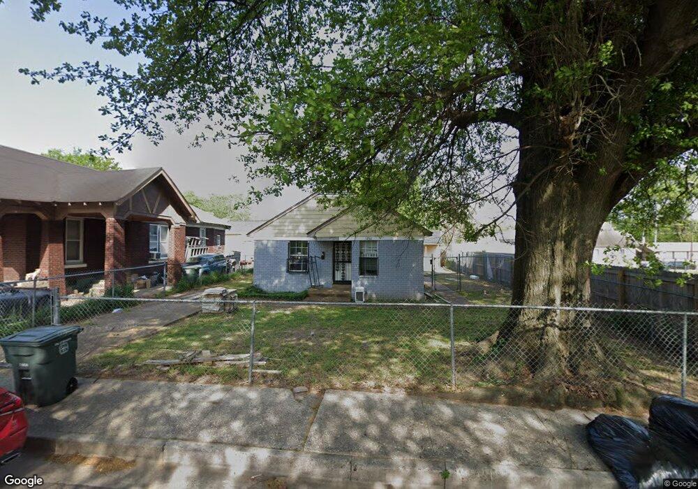
1262 Driver St Memphis, TN 38106
South Memphis NeighborhoodEstimated Value: $54,000 - $120,000
2
Beds
2
Baths
1,208
Sq Ft
$67/Sq Ft
Est. Value
About This Home
This home is located at 1262 Driver St, Memphis, TN 38106 and is currently estimated at $80,994, approximately $67 per square foot. 1262 Driver St is a home located in Shelby County with nearby schools including A. B. Hill Elementary School, Riverview Middle School, and Hamilton High School.
Ownership History
Date
Name
Owned For
Owner Type
Purchase Details
Closed on
Jun 10, 2022
Sold by
Mt Lebanon Inc
Bought by
Williams Lontrell
Current Estimated Value
Purchase Details
Closed on
Jul 1, 2010
Sold by
Sammons Enterprises Lp
Bought by
Mt Lebanon Inc
Purchase Details
Closed on
Dec 29, 2002
Sold by
Sammons Jack
Bought by
Pappys Enterprises Lp
Create a Home Valuation Report for This Property
The Home Valuation Report is an in-depth analysis detailing your home's value as well as a comparison with similar homes in the area
Home Values in the Area
Average Home Value in this Area
Purchase History
| Date | Buyer | Sale Price | Title Company |
|---|---|---|---|
| Williams Lontrell | $112,500 | New Title Company Name | |
| Mt Lebanon Inc | -- | None Available | |
| Pappys Enterprises Lp | -- | -- | |
| Sammons Jack | -- | -- |
Source: Public Records
Tax History Compared to Growth
Tax History
| Year | Tax Paid | Tax Assessment Tax Assessment Total Assessment is a certain percentage of the fair market value that is determined by local assessors to be the total taxable value of land and additions on the property. | Land | Improvement |
|---|---|---|---|---|
| 2025 | $360 | $11,675 | $1,125 | $10,550 |
| 2024 | $360 | $10,625 | $750 | $9,875 |
| 2023 | $647 | $10,625 | $750 | $9,875 |
| 2022 | $647 | $10,625 | $750 | $9,875 |
| 2021 | $769 | $10,625 | $750 | $9,875 |
| 2020 | $699 | $9,650 | $750 | $8,900 |
| 2019 | $308 | $9,650 | $750 | $8,900 |
| 2018 | $308 | $9,650 | $750 | $8,900 |
| 2017 | $316 | $9,650 | $750 | $8,900 |
| 2016 | $91 | $2,075 | $0 | $0 |
| 2014 | $91 | $2,075 | $0 | $0 |
Source: Public Records
Map
Nearby Homes
- 1318 Glenn St
- 431 Lucy Ave
- 356 Cambridge Ave
- 1322 Sardis St
- 1238 Marksman St
- 615 E Trigg Ave
- 979 Wellington St
- 1533 S Orleans St
- 412 E Mclemore Ave
- 1400 Willie Mitchell Blvd
- 612 Edith Ave
- 1433 Humber St
- 318 Cambridge Ave
- 396 Edith Ave
- 1433 S Wellington St
- 437 Simpson Ave
- 355 Edith Ave
- 1420 Cameron St
- 1404 Preston St
- 372 Edith Ave
- 1256 Driver St
- 503 Cambridge Ave
- 1252 Driver St
- 1250 Driver St
- 507 Cambridge Ave
- 506 E Trigg Ave
- 511 Cambridge Ave
- 1261 Driver St
- 1255 Driver St
- 510 E Trigg Ave
- 484 E Trigg Ave
- 515 Cambridge Ave
- 1249 Driver St
- 514 E Trigg Ave
- 1245 Driver St
- 1236 Driver St
- 476 E Trigg Ave
- 504 Cambridge Ave
- 1241 Driver St
- 510 Cambridge Ave