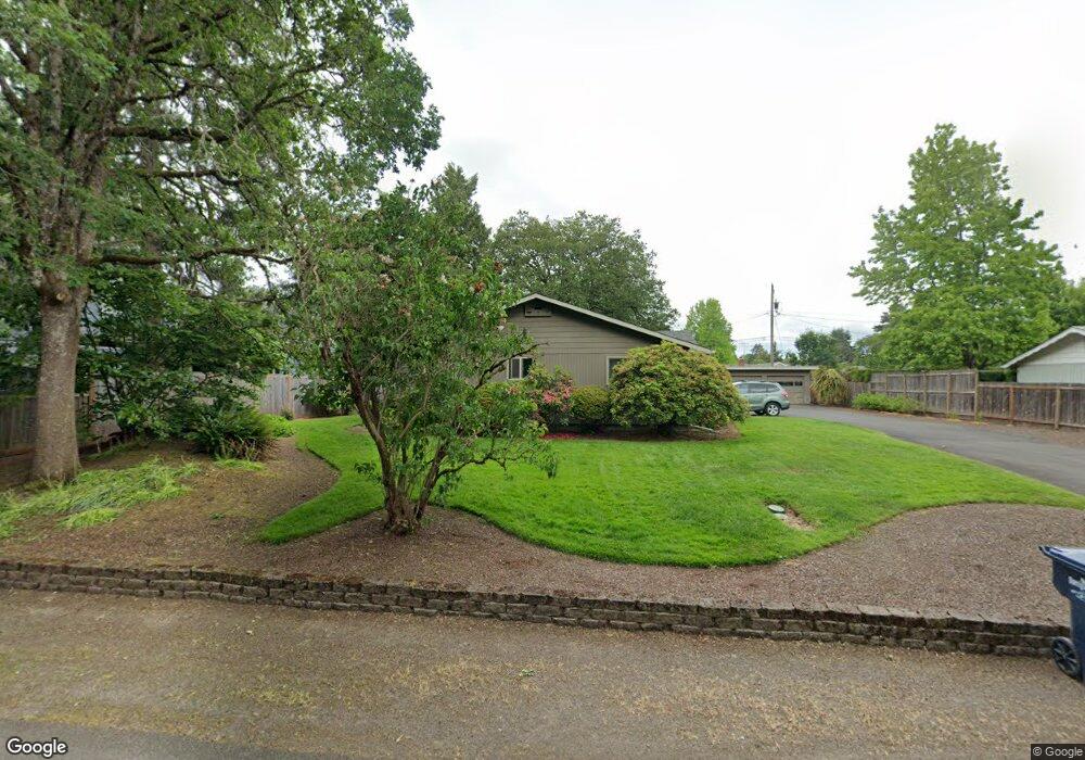
1262 Sunny Dr Eugene, OR 97404
River Road NeighborhoodEstimated Value: $446,000 - $498,000
2
Beds
1
Bath
950
Sq Ft
$503/Sq Ft
Est. Value
About This Home
This home is located at 1262 Sunny Dr, Eugene, OR 97404 and is currently estimated at $478,238, approximately $503 per square foot. 1262 Sunny Dr is a home located in Lane County with nearby schools including Howard Elementary School, Kelly Middle School, and North Eugene High School.
Ownership History
Date
Name
Owned For
Owner Type
Purchase Details
Closed on
Feb 22, 2021
Sold by
Swenson Steve B and Swenson Stacey L
Bought by
Swenson Steve B and Swenson Stacey L
Current Estimated Value
Purchase Details
Closed on
Jun 30, 2005
Sold by
Tatum Ray G and Estate Of Hertha L Tatum
Bought by
Swenson Steve B and Swenson Stacey L
Home Financials for this Owner
Home Financials are based on the most recent Mortgage that was taken out on this home.
Original Mortgage
$149,962
Outstanding Balance
$77,739
Interest Rate
5.75%
Mortgage Type
Fannie Mae Freddie Mac
Estimated Equity
$400,499
Create a Home Valuation Report for This Property
The Home Valuation Report is an in-depth analysis detailing your home's value as well as a comparison with similar homes in the area
Home Values in the Area
Average Home Value in this Area
Purchase History
| Date | Buyer | Sale Price | Title Company |
|---|---|---|---|
| Swenson Steve B | -- | None Available | |
| Swenson Steve B | $199,950 | Western Title & Escrow Compa |
Source: Public Records
Mortgage History
| Date | Status | Borrower | Loan Amount |
|---|---|---|---|
| Open | Swenson Steve B | $149,962 |
Source: Public Records
Tax History Compared to Growth
Tax History
| Year | Tax Paid | Tax Assessment Tax Assessment Total Assessment is a certain percentage of the fair market value that is determined by local assessors to be the total taxable value of land and additions on the property. | Land | Improvement |
|---|---|---|---|---|
| 2025 | $4,780 | $284,529 | -- | -- |
| 2024 | $4,728 | $276,242 | -- | -- |
| 2023 | $4,728 | $268,197 | $0 | $0 |
| 2022 | $4,447 | $260,386 | $0 | $0 |
| 2021 | $4,136 | $252,802 | $0 | $0 |
| 2020 | $3,998 | $245,439 | $0 | $0 |
| 2019 | $3,781 | $238,291 | $0 | $0 |
| 2018 | $3,496 | $224,613 | $0 | $0 |
| 2017 | $3,272 | $224,613 | $0 | $0 |
| 2016 | $3,209 | $218,071 | $0 | $0 |
| 2015 | $3,120 | $211,719 | $0 | $0 |
| 2014 | $3,084 | $205,552 | $0 | $0 |
Source: Public Records
Map
Nearby Homes
- 829 Horn Ln
- 825 Horn Ln
- 184 Rosetta Ave
- 780 Cornwall Ave
- 1621 Zoe Ave
- 0 N Park Ave Unit 487111683
- 0 N Park Ave Unit 453228406
- 1164 Veronica Ln
- 1742 Escalante St
- 0 N Park Alley
- 1764 Dalton Dr
- 1525 Park Ave
- 820 Park Terrace
- 1745 Grove St
- 1420 Park Ave
- 93 E Hillcrest Dr
- 154 Norman Ave
- 1880 Manihi Dr
- 32 Marion Ln
- 115 E Hilliard Ln