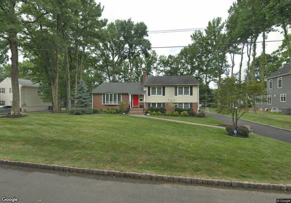
1262 White Oak Rd Scotch Plains, NJ 07076
Estimated Value: $774,336 - $985,000
--
Bed
--
Bath
2,702
Sq Ft
$337/Sq Ft
Est. Value
About This Home
This home is located at 1262 White Oak Rd, Scotch Plains, NJ 07076 and is currently estimated at $911,584, approximately $337 per square foot. 1262 White Oak Rd is a home located in Union County with nearby schools including William J. McGinn Elementary School, Terrill Middle School, and Scotch Plains-Fanwood High School.
Ownership History
Date
Name
Owned For
Owner Type
Purchase Details
Closed on
Oct 30, 2007
Sold by
Grisi Arthur J
Bought by
Shipitofsky David R and Shipitofsky Nicole Lazarus
Current Estimated Value
Home Financials for this Owner
Home Financials are based on the most recent Mortgage that was taken out on this home.
Original Mortgage
$417,000
Outstanding Balance
$264,248
Interest Rate
6.41%
Mortgage Type
Purchase Money Mortgage
Estimated Equity
$647,336
Create a Home Valuation Report for This Property
The Home Valuation Report is an in-depth analysis detailing your home's value as well as a comparison with similar homes in the area
Home Values in the Area
Average Home Value in this Area
Purchase History
| Date | Buyer | Sale Price | Title Company |
|---|---|---|---|
| Shipitofsky David R | $540,000 | Prestige Title Agency Inc |
Source: Public Records
Mortgage History
| Date | Status | Borrower | Loan Amount |
|---|---|---|---|
| Open | Shipitofsky David R | $417,000 |
Source: Public Records
Tax History Compared to Growth
Tax History
| Year | Tax Paid | Tax Assessment Tax Assessment Total Assessment is a certain percentage of the fair market value that is determined by local assessors to be the total taxable value of land and additions on the property. | Land | Improvement |
|---|---|---|---|---|
| 2025 | $15,310 | $151,900 | $42,400 | $109,500 |
| 2024 | $14,859 | $130,100 | $42,400 | $87,700 |
| 2023 | $14,859 | $130,100 | $42,400 | $87,700 |
| 2022 | $14,682 | $130,100 | $42,400 | $87,700 |
| 2021 | $14,657 | $130,100 | $42,400 | $87,700 |
| 2020 | $14,587 | $130,100 | $42,400 | $87,700 |
| 2019 | $14,479 | $130,100 | $42,400 | $87,700 |
| 2018 | $14,236 | $130,100 | $42,400 | $87,700 |
| 2017 | $13,919 | $130,100 | $42,400 | $87,700 |
| 2016 | $13,651 | $130,100 | $42,400 | $87,700 |
| 2015 | $13,428 | $130,100 | $42,400 | $87,700 |
| 2014 | $12,985 | $130,100 | $42,400 | $87,700 |
Source: Public Records
Map
Nearby Homes
- 1933 Mary Ellen Ln
- 1933 W Broad St
- 2116 Newark Ave
- 2 Brookside Ct
- 2154 W Broad St
- 119 Lamberts Mill Rd
- 187 King St
- 2212 Shady Ln
- 5 Robin Rd
- 120 S Martine Ave
- 1466 Lamberts Mill Rd
- 345 La Grande Ave
- 314 Highgate Ave
- 2219 North Ave Unit 6
- 2314 Longfellow Ave
- 40 1st St
- 21 Old South Ave
- 57 Rambling Dr
- 32 Gere Place
- 2 Dutch Ln
- 1254 White Oak Rd
- 1270 White Oak Rd
- 1206 Christine Cir
- 1257 White Oak Rd
- 1263 White Oak Rd
- 1272 White Oak Rd
- 1246 White Oak Rd
- 1200 Christine Cir
- 1212 Christine Cir
- 2022 Hill Top Rd
- 2028 Hill Top Rd
- 1274 White Oak Rd
- 2034 Hill Top Rd
- 1264 Maple Hill Rd
- 1275 White Oak Rd
- 1240 White Oak Rd
- 1201 Christine Cir
- 1218 Christine Cir
- 1995 Mary Beth Ct
- 1221 Christine Cir