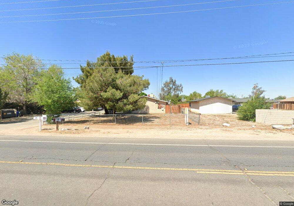
12620 Kiowa Rd Unit 1-3 Apple Valley, CA 92308
High Desert NeighborhoodEstimated Value: $462,317 - $629,000
2
Beds
1
Bath
900
Sq Ft
$608/Sq Ft
Est. Value
About This Home
This home is located at 12620 Kiowa Rd Unit 1-3, Apple Valley, CA 92308 and is currently estimated at $547,579, approximately $608 per square foot. 12620 Kiowa Rd Unit 1-3 is a home located in San Bernardino County with nearby schools including Sitting Bull Academy, Apple Valley High School, and Excelsior Charter School.
Ownership History
Date
Name
Owned For
Owner Type
Purchase Details
Closed on
Dec 9, 2011
Sold by
Champ Robert T
Bought by
Abrahams Franklin K and Spears Abrahams Patricia C
Current Estimated Value
Purchase Details
Closed on
Dec 3, 2009
Sold by
Us Bank National Association
Bought by
Champ Robert T and Champ Robert T
Purchase Details
Closed on
Sep 4, 2009
Sold by
Garcia Manuel
Bought by
Us Bank National Association
Purchase Details
Closed on
Mar 15, 2005
Sold by
Rhynes Vincent E
Bought by
Garcia Manuel
Purchase Details
Closed on
Feb 25, 2005
Sold by
Rhynes Vincent E
Bought by
Rhynes Vincent E
Purchase Details
Closed on
Apr 25, 2002
Sold by
Rhynes Vincent E
Bought by
Triplex Motel
Purchase Details
Closed on
Feb 20, 2002
Sold by
Rhynes Vincent E
Bought by
Rhynes Vincent E
Purchase Details
Closed on
Jan 5, 2001
Sold by
Rhynes Vincent E
Bought by
Triplex Motel
Purchase Details
Closed on
Jul 23, 1999
Sold by
Rhynes Kimberley
Bought by
Rhynes Vincent E
Home Financials for this Owner
Home Financials are based on the most recent Mortgage that was taken out on this home.
Original Mortgage
$61,250
Interest Rate
7.64%
Purchase Details
Closed on
Jun 14, 1999
Sold by
Wartson Gayle T
Bought by
Mundaca Financial Services Llc
Home Financials for this Owner
Home Financials are based on the most recent Mortgage that was taken out on this home.
Original Mortgage
$61,250
Interest Rate
7.64%
Purchase Details
Closed on
Dec 10, 1997
Sold by
Krause Alan A
Bought by
Stjohn Sean
Home Financials for this Owner
Home Financials are based on the most recent Mortgage that was taken out on this home.
Original Mortgage
$62,500
Interest Rate
7.22%
Mortgage Type
Seller Take Back
Purchase Details
Closed on
Sep 16, 1996
Sold by
Crouch Howard D
Bought by
Krause Alan A
Create a Home Valuation Report for This Property
The Home Valuation Report is an in-depth analysis detailing your home's value as well as a comparison with similar homes in the area
Home Values in the Area
Average Home Value in this Area
Purchase History
| Date | Buyer | Sale Price | Title Company |
|---|---|---|---|
| Abrahams Franklin K | $136,000 | Chicago Title Company | |
| Champ Robert T | $120,000 | Lawyers Title Sd | |
| Us Bank National Association | $121,500 | Accommodation | |
| Garcia Manuel | $240,000 | Chicago Title Company | |
| Rhynes Vincent E | -- | -- | |
| Triplex Motel | -- | -- | |
| Rhynes Vincent E | -- | Old Republic Title Company | |
| Triplex Motel | -- | -- | |
| Rhynes Vincent E | -- | Chicago Title Co | |
| Rhynes Vincent E | $63,500 | Chicago Title Co | |
| Mundaca Financial Services Llc | $69,287 | Benefit Land Title Ins Co | |
| Stjohn Sean | $67,500 | First American Title Ins Co | |
| Wartson Gayle T | $67,500 | First American Title Co | |
| Wartson Gayle T | -- | First American Title Co | |
| Krause Alan A | -- | Continental Lawyers Title Co | |
| Krause Alan A | -- | Continental Lawyers Title Co |
Source: Public Records
Mortgage History
| Date | Status | Borrower | Loan Amount |
|---|---|---|---|
| Previous Owner | Rhynes Vincent E | $61,250 | |
| Previous Owner | Wartson Gayle T | $62,500 |
Source: Public Records
Tax History Compared to Growth
Tax History
| Year | Tax Paid | Tax Assessment Tax Assessment Total Assessment is a certain percentage of the fair market value that is determined by local assessors to be the total taxable value of land and additions on the property. | Land | Improvement |
|---|---|---|---|---|
| 2025 | $2,286 | $170,824 | $20,096 | $150,728 |
| 2024 | $2,286 | $167,475 | $19,702 | $147,773 |
| 2023 | $2,262 | $164,191 | $19,316 | $144,875 |
| 2022 | $2,227 | $160,971 | $18,937 | $142,034 |
| 2021 | $2,177 | $157,815 | $18,566 | $139,249 |
| 2020 | $2,148 | $156,197 | $18,376 | $137,821 |
| 2019 | $2,108 | $153,135 | $18,016 | $135,119 |
| 2018 | $2,058 | $150,133 | $17,663 | $132,470 |
| 2017 | $2,028 | $147,190 | $17,317 | $129,873 |
| 2016 | $1,820 | $144,303 | $16,977 | $127,326 |
| 2015 | $1,793 | $142,135 | $16,722 | $125,413 |
| 2014 | $1,768 | $139,350 | $16,394 | $122,956 |
Source: Public Records
Map
Nearby Homes
- 12715 Tesuque Rd
- 21018 Little Beaver Rd
- 0 Matawan Rd
- 12770 Lakota Rd
- 12566 Iroquois Rd
- 12421 Lakota Rd
- 12625 Tamiani Rd
- 12520 Tamiani Rd
- 12835 Iroquois Rd
- 21133 Pahute Rd
- 0 Rancho Rd Unit HD25234535
- 12409 Pocono Rd
- 20726 Nisqually Rd
- 21255 Minnetonka Rd
- 21109 Sioux Rd
- 12310 Iroquois Rd
- 20715 Teton Rd
- 20750 Teton Rd
- 12443 Bannock Dr
- 12765 Pocomoke Rd
- 12620 Kiowa Rd
- 12636 Kiowa Rd
- 12606 Kiowa Rd
- 12637 Sholic Rd
- 12652 Kiowa Rd
- 12605 Sholic Rd
- 20861 Lone Eagle Rd
- 12588 Kiowa Rd
- 12623 Kiowa Rd
- 12683 Sholic Rd
- 12611 Kiowa Rd Unit 1
- 12587 Sholic Rd
- 20925 Lone Eagle Rd
- 12591 Kiowa Rd
- 12638 Sholic Rd
- 12620 Sholic Rd
- 20878 Lone Eagle Rd
- 12570 Kiowa Rd
- 0 Sholic Rd Unit 513468
- 0 Sholic Rd