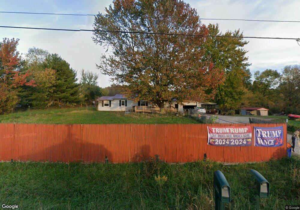
12626 State Route 136 West Union, OH 45693
Estimated Value: $91,000 - $263,000
3
Beds
1
Bath
960
Sq Ft
$158/Sq Ft
Est. Value
About This Home
This home is located at 12626 State Route 136, West Union, OH 45693 and is currently estimated at $152,020, approximately $158 per square foot. 12626 State Route 136 is a home located in Adams County with nearby schools including North Adams Elementary School and North Adams High School.
Ownership History
Date
Name
Owned For
Owner Type
Purchase Details
Closed on
Mar 12, 2025
Sold by
Baker Anita L and Baker Travis Lee
Bought by
Baker Anita L
Current Estimated Value
Home Financials for this Owner
Home Financials are based on the most recent Mortgage that was taken out on this home.
Original Mortgage
$75,241
Outstanding Balance
$74,856
Interest Rate
6.87%
Mortgage Type
Credit Line Revolving
Estimated Equity
$77,164
Purchase Details
Closed on
Sep 22, 2011
Sold by
Fifth Third Mortgage Co
Bought by
Anita Baker
Create a Home Valuation Report for This Property
The Home Valuation Report is an in-depth analysis detailing your home's value as well as a comparison with similar homes in the area
Home Values in the Area
Average Home Value in this Area
Purchase History
| Date | Buyer | Sale Price | Title Company |
|---|---|---|---|
| Baker Anita L | -- | None Listed On Document | |
| Anita Baker | $32,600 | None Available |
Source: Public Records
Mortgage History
| Date | Status | Borrower | Loan Amount |
|---|---|---|---|
| Open | Baker Anita L | $75,241 |
Source: Public Records
Tax History Compared to Growth
Tax History
| Year | Tax Paid | Tax Assessment Tax Assessment Total Assessment is a certain percentage of the fair market value that is determined by local assessors to be the total taxable value of land and additions on the property. | Land | Improvement |
|---|---|---|---|---|
| 2024 | $2,434 | $26,360 | $6,160 | $20,200 |
| 2023 | $9,643 | $26,360 | $6,160 | $20,200 |
| 2022 | $644 | $22,550 | $5,360 | $17,190 |
| 2021 | $577 | $22,550 | $5,360 | $17,190 |
| 2020 | $560 | $22,550 | $5,360 | $17,190 |
| 2019 | $560 | $22,550 | $5,360 | $17,190 |
| 2018 | $428 | $19,500 | $4,550 | $14,950 |
| 2017 | $422 | $19,500 | $4,550 | $14,950 |
| 2016 | $3,028 | $19,500 | $4,550 | $14,950 |
| 2015 | $432 | $20,130 | $4,130 | $16,000 |
| 2014 | $432 | $20,130 | $4,130 | $16,000 |
Source: Public Records
Map
Nearby Homes
- 1689 Eckmansville Rd
- 86 Hawk Hill Rd
- 0 Eckmansville Rd
- 1717 Foster Rd
- 3287 Chapparal Rd
- 5021 Ohio 125
- 5087 State Route 125
- 125 Robinette Rd
- 223 Alex Ln
- 155 Redbud Ln
- 13529 Ohio 247
- 831 Tom Brown Rd
- 80 Madonna Dr
- 93 Jose Dr
- 4400 Chapparal Rd
- 17217 Ohio 136
- 3 Chapparal Rd
- 2 Chapparal Rd
- 1 Chapparal Rd
- 4 Chapparal Rd
- 12626 St Rt 136
- 12648 State Route 136
- 12603 State Route 136
- 12666 State Route 136
- 12530 State Route 136
- 12603 Ohio 136
- 12704 St Rt 136
- 12704 State Route 136
- 35 Spencer Hill Rd
- 12744 Sr 136
- 12744 St Rt 136
- 12744 State Route 136
- A St Rt 136
- 12778 State Route 136
- 12778 St Rt 136
- 186 Spencer Hill Rd
- 12625 St Rt 136
- 12625 State Route 136
- 72 Spencer Hill Rd
- 212 Spencer Terrace